Marina di Tertenia - Foresta Bingionniga (C-102)
The pathway
Useful informations
Roadbook
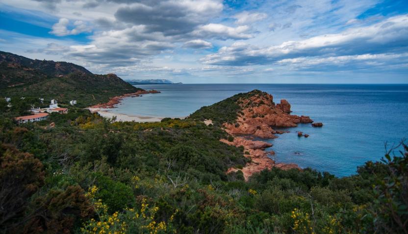
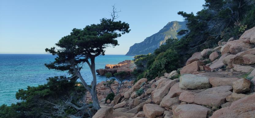
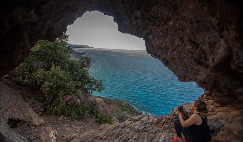
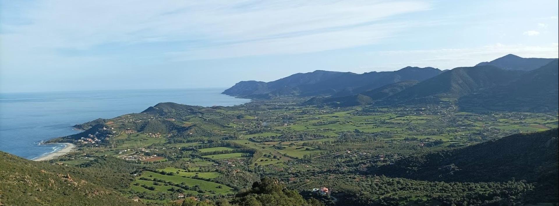
FIRST STAGE: Scala Ogliastra-Marina di Sarrala. This section is approximately 2.6 km long with a hiking time of 40 min. You will start halfway up the slope of Monte Cartucceddu in the Scala Ogliastra locality (150 m asl) on a gently ascending route (alternating short uphill and downhill stretches for about 600 m) through Mediterranean scrub until you reach the panoramic locality of Sa Perda Stampada (190 m asl): here you can enjoy the splendid coastal landscape through a natural window formed by a large red porphyry rock pierced by erosion.
From this point, you will start on a downhill path of about 1.5 km, on a slope that will soon become rocky, towards the Marina di Tertenia; for the first 400 m the slope is gentle, until it reaches - if you look towards the sea - the direction of the headland of Capo Sferracavallo. From here the downhill slope becomes steeper. After about 700 m you will get to a fork, formed by a 200-m-long connecting trail heading towards the sea and ending at the Is marginis beach.
Staying on the main path instead, after 200 m from the fork you will come across two closely spaced linking trails; the first trail going towards the coast (about 300 m long) branches off, after about 100 m, into two small linking trails leading one to the Cala Niedda beach and the other to the Scoglio su Brecconi beach. The second linking trail, about 500 m long, reaches a parking area at Marina di Sarrala, which is the end of the first stage. Marina di Sarrala is a beach resort that is very popular with tourists in the summer period.
SECOND STAGE: Marina di Sarrala - Fustiraxili.
This stage is approximately 7 km long and takes 2 hours and 10 min. From the picnic area at Marina di Sarrala, the second stage will lead you north along a 500 m linking trail. Then turn left (westwards) and go uphill for 1.6 km on a trail and for approximately 300 m on a partly surfaced road. You will reach the Genna Didu locality (210 m asl) and, after 300 m, you will be near the Nuraghe Genna Didu (260 m asl).
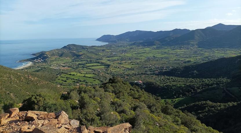
From here, heading inland, the trail first climbs steeply up (for about 1.5 km) and then runs along (for about 1.2 km at about 450 m asl) the slope of Monte Tortu (641 m asl). Next the trail takes a fairly steep downhill slope (1.2 km) on a dirt road to the Funtana Corriga locality (245 m asl). From here, after 1 km, still on a dirt road, the stage ends in the Fustiraxili locality, where there is a forest ranger station (infopoint) and an educational trail.
THIRD STAGE: Fustiraxili - Bingionniga.
This stage is approximately 6.5 km long and takes 1 hour and 40 minutes. From the Fustiraxili locality (about 277 m asl), the trail follows an almost level forest track and after 400 m arrives at an educational trail within the educational forest nursery managed by Forestas. Continuing along the forest track, the trail crosses the forest area (holm oak forest and Mediterranean scrub) for about 3.5 km until it reaches the farmland area of Bidda e’ Monti (about 150 m asl). From here, the trail heads towards the forest area of Bingionniga (countryside of Jerzu); after about 1 km, it crosses the Rio Quirra stream. Please note that in the rainy season crossing the stream might be impossible. After crossing the Rio Quirra, after 1.2 km you will reach a leisure area of the municipality of Tertenia in the Su Crabiolu locality (about 200 m asl). Approximately 300 m ahead, the stage (after covering about 6.5 km) ends at Nuraghe Su Marchesu in the Bingionniga forest area.
Trail data and altimetry
Download trail documentation
Opinions
No reviews yet for this path


