The coastal path - Marina di Gairo (C-101)
The pathway
Useful informations
Roadbook
For the first 900 m, the trail runs on a dirt road. This stretch includes first an uphill section of 400 m with an elevation gain of 80 m, followed by a 500 m downhill stretch with an elevation loss of 60 m, until it crosses the asphalt road again. If you wish, you can skip this first stage and park your car at the second point in which the path and road cross.
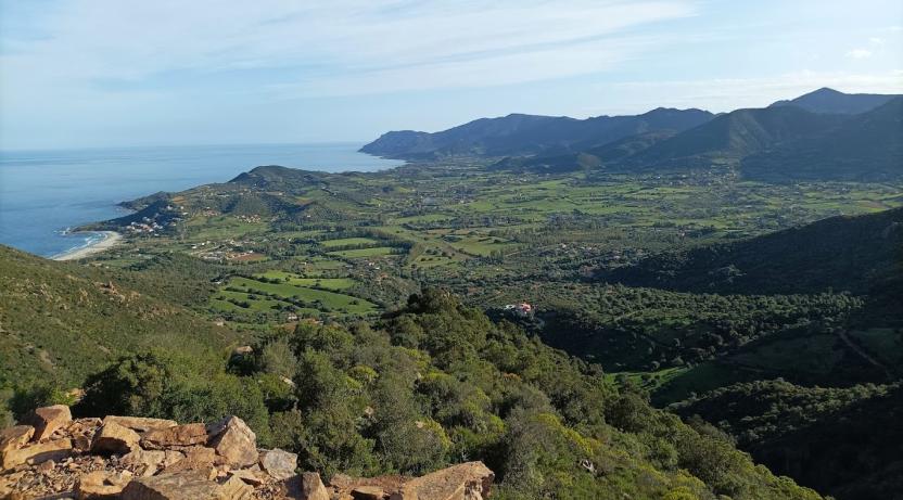
Continue along the asphalt road for about 1 km of gentle uphill, then take a dirt track for about 800 m downhill to the fork for Coccorrocci beach (a beautiful beach of fine white sand, which is reached via a connecting trail heading north-east of about 400 m).
Keeping on the main trail, continue on a dirt road (heading south) with a gentle downhill slope of about 600 m that leads to the pebbly beach of Cala e’ Luas, located at the mouth of the Giuanni Aresu stream (which you will need to cross in the rainy season, while in late spring-summer it will be almost dry. At its mouth, the stream forms a pond separated from the sea by an approximately 20 m long stretch of pebbles that form the beach.
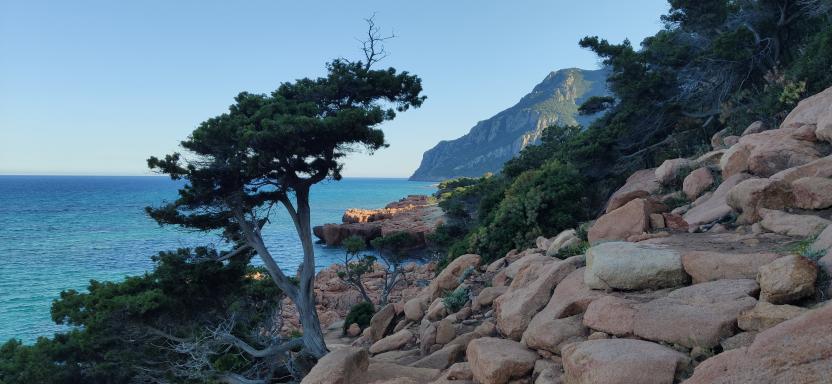
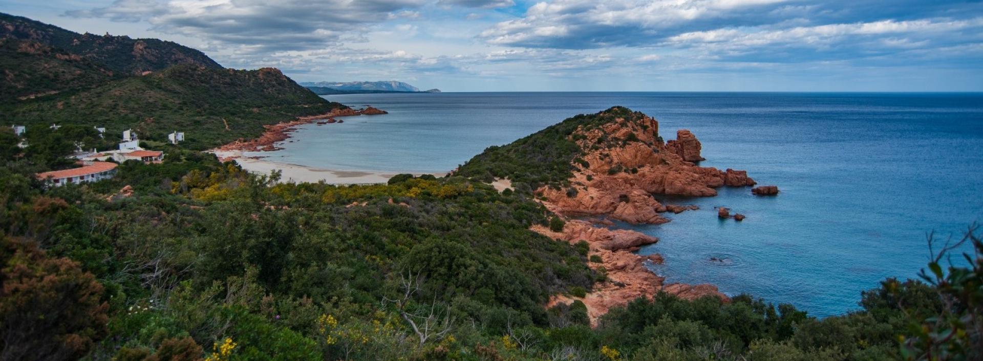
On from Cala e’ Luas, this stage of the path, about 1.2 km long offers perhaps the most fascinating sights of this trail, through beautiful red porphyry coastal cliff to another pebble beach, with camping site Coccorrocci.
From Coccorrocci beach, for about 1 km the trail follows an almost level dirt track, skirting the campsite and heading south along the coastline, passing through a wood of holm oaks and Mediterranean scrub until it reaches a picnic area, where Trail C-101 ends and after an uphill connecting stretch of just half a kilometre, Trail C-103 starts, leading to the Sa Perda Stampada rock.
Trail data and altimetry
Photogallery
Download trail documentation
Opinions
No reviews yet for this path


