Da Gambarussa alle Cime del Lattias (D 220)

The pathway
Useful informations
Roadbook
The trail starts at Dispensa Gambarussa where is possible park the car on the S.P.1. After leaving the S.P.1. continue on foot keeping to the right and skirting the Fo.re.s.t.a.s. fence; after a few hundred meters cross the Gutturu Mannu river, through an iron bridge, and reach a large sheepfold, upstream of which start the climb along a mule track.
The mule track, initially very wide, heads west gaining altitude with various hairpin bends. It then crosses the lower part of the eastern ridge of Serra Trisioni Mannu (583 mt). After a short stretch in the ridge, leave it on the left and after crossing the wood reach an open area cross (310 mt.) in front of the cliffs of Punta Sa Grutta (504 m).
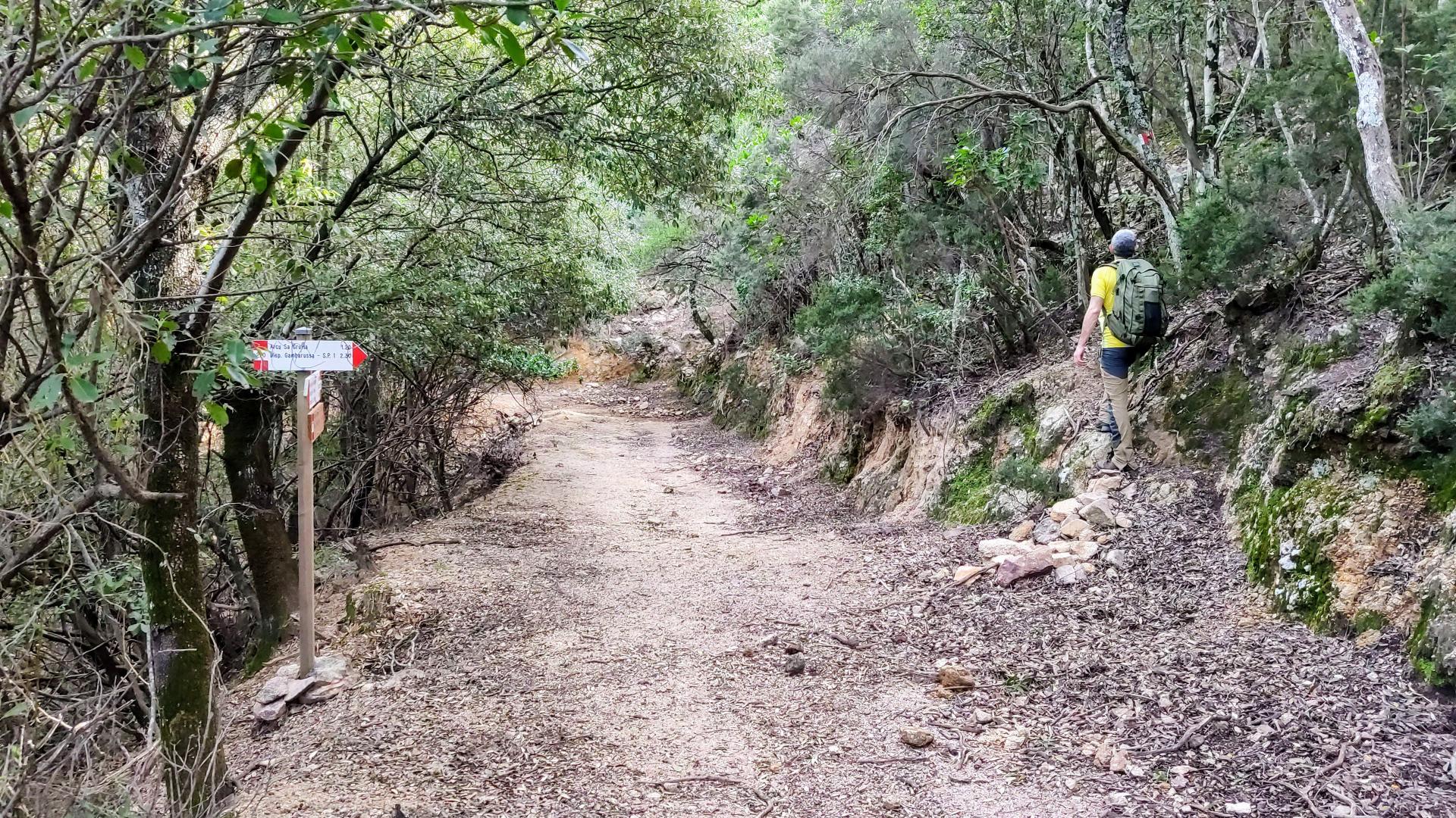
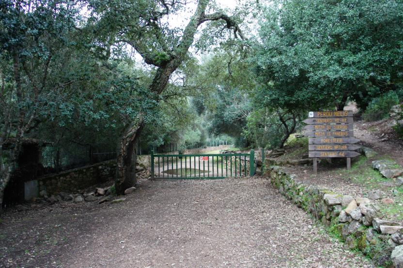
Once the trail reaches the pass (Arcu Sa Grutta) at an altitude of 500 mt. (1.30 hours from the start) and arrives at the Conca de Is Pillais (525 mt.), crosses the pass, turns left onto another mule track coming from the NE (D 217 trail) and, continuing on this towards the SW, reaches the forest track coming from the Foresteria Perdu Melis (D 220A trail).
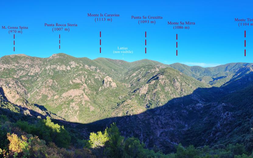
Keeping to the left on this junction, the trail reaches in a few minutes S'Arcu Su Suergiu (mt. 487, h 1.20 - 2.50); this section of the route is particularly panoramic with magnificent views of the Lattias ridges (to the west) and Mount Arcosu (towards N). Since the trail is located inside the WWF Wildlife Oasis it is not uncommon to spot wild animals (wild boar, deer and sometimes even eagles).
From the pass, continuing towards west, a forest track, reaches in a few minutes, and after a hairpin bend, Arcu Su Tronu (h 0.10 - 3). From Arcu Su Tronu turns left onto a forest track that climbs with hairpin bends heading west. At the highest altitude from where the dirt road would continue towards south, turn instead right onto a steep path.
From here the trail continues very steeply and becomes "for expert hikers" (EE) trail. Ggoing up the ridge in the direction west-south-west it leads to a forepeak of Mount Su Tronu (679 mt.) and then, changes direction to south to Mount Su Tronu (m 685, h 0.45 - 3.45).
From here, climbing up the ridge, passed a bayonet-shaped pinnacle (Su Gorteddu) and crossing a stretch of primary forest, you cross [1.15 – 5 hours from the start] the path that goes up from Costa Castangias (D 209 trail); at this point the trail has reached an altitude of 895 mt. above sea level and the environment is extremely rich in geological and botanical evidence of great interest, that must absolutely be preserved; in this section of the trail is required to walk following strictly the path, with great caution, because the rocks, which constitute the ground plan, are extremely slippery and unstable, especially in the winter period or after a rain.
Heading west, the trail quickly reaches the granite plateau of Mount Lattias, on which stands the forepeak of the mount surmounted by a radio antenna; continuing west, along the course of a small stream the trail reaches the top of Mount Lattias (trigonometric point m 1086, [h 1 - 6 hours total from departure).
The descent can take place on the same route (about 5 hours) or along one of the other paths that lead from the S.P. 1 on Lattias (i.e. D 209, 205, 208 trails)
Trail data and altimetry
Photogallery
Download trail documentation
Opinions
No reviews yet for this path


