The point of interest
How to get here
On foot
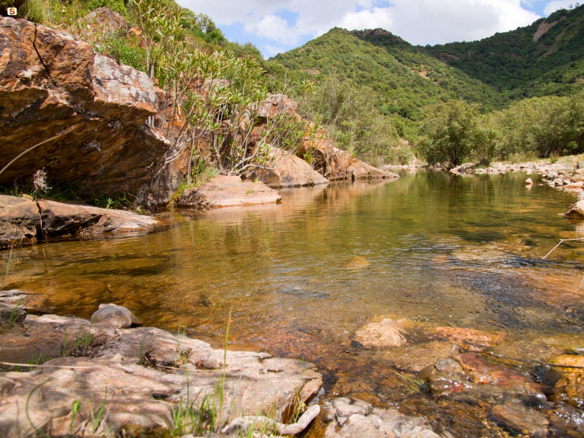
From Cagliari, by car, follow the State Road 195 towards Pula, turn after 12 km onto the Consortile road (towards Macchiareddu) and take the second road west to continue to the rural church of S. Lucia. From here, follow the WWF signs until you reach the "Sa Canna" Visitor Center; continue on the dirt road - for about 6 km - towards the P. Melis Forestry (304 m a.s.l.). After leaving the car in the parking lot in front of the forestry, follow path 205: after a few meters, leaving path 203 on the right, you can find the Mitza su Suergiu spring (450 m a.s.l.). Continue along the uphill path until you reach the highest point of the route, S'arcu Su Suergiu. Descending - after about 50 minutes of walking - the path widens, becoming a track that leads to the Mitza Fanebas picnic area, equipped with tables, fire pits, and a spring.
By car
Driving along provincial road 1 from Santa Lucia (Uta) towards Santadi, take the deviation at coordinates Lat. 39.128960 Long. 8.877802