The point of interest
How to get here
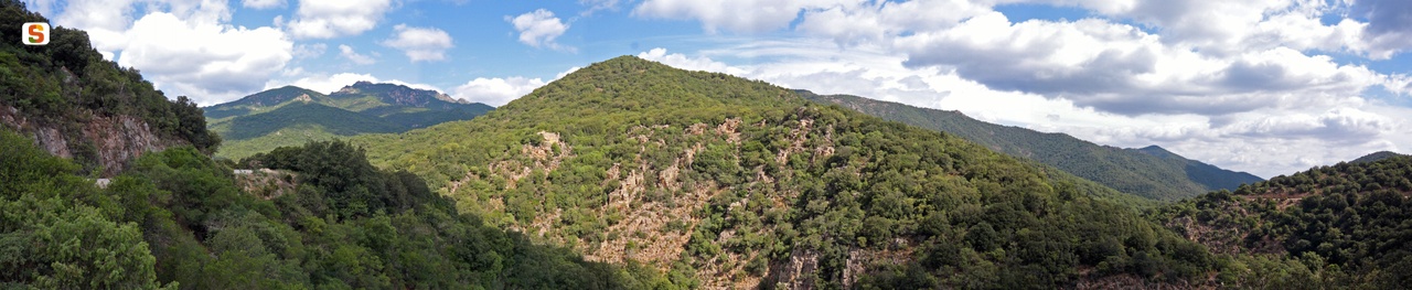
Trail 203 passes near this peak.
Photogallery
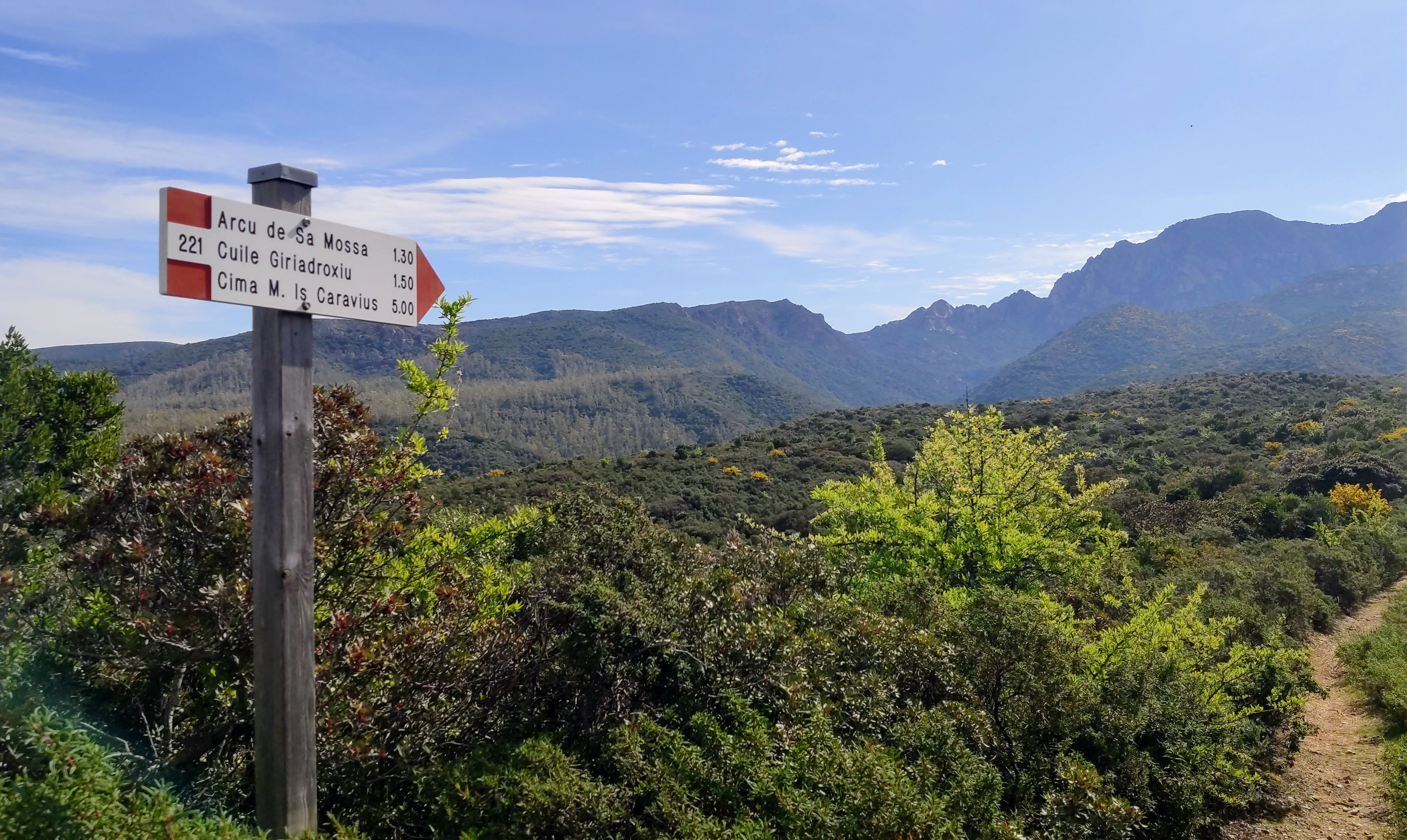
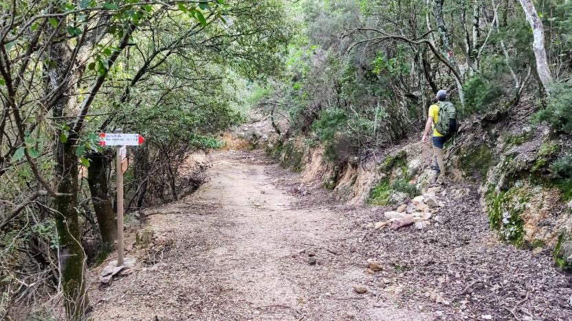
Luogo di posa verso arcu sa mossa
Alessio SabaAgenzia Forestas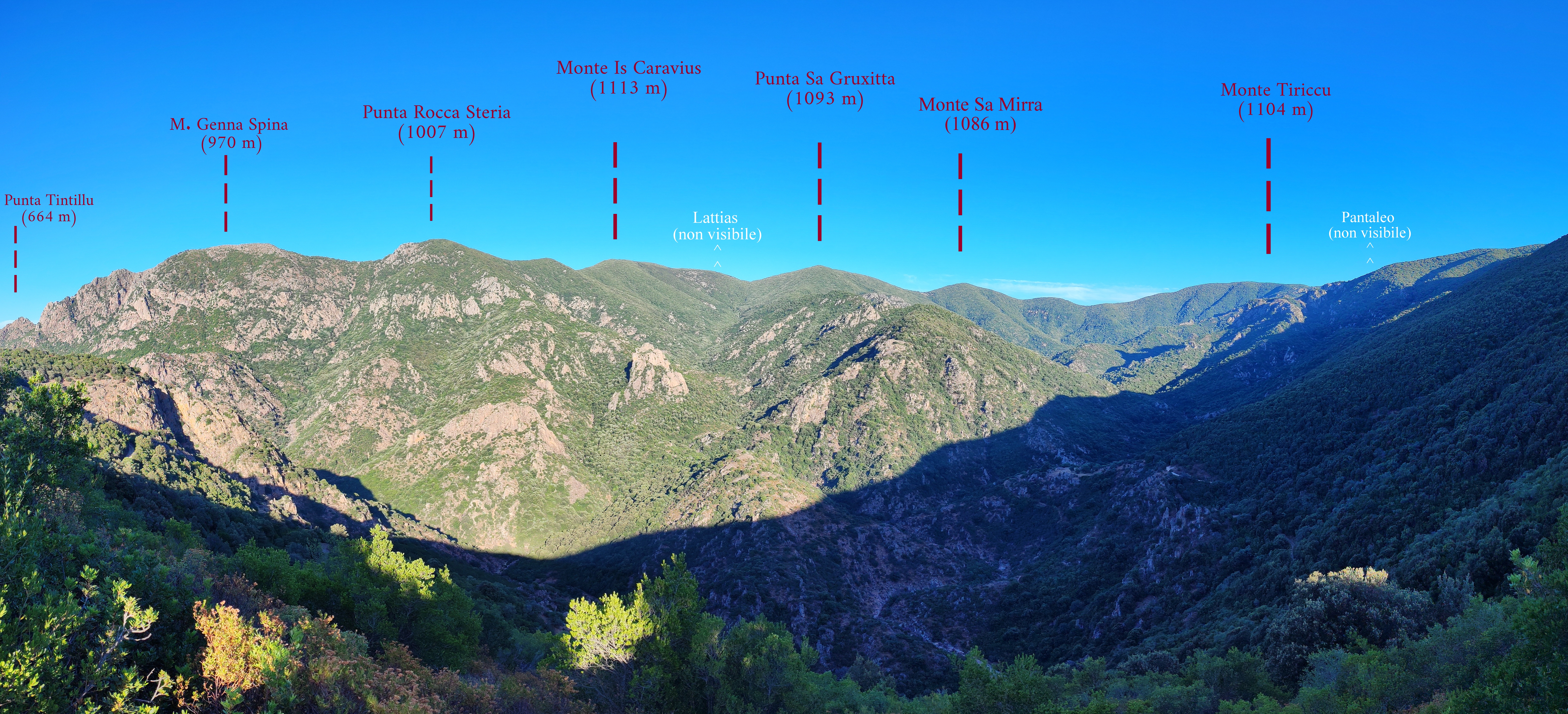
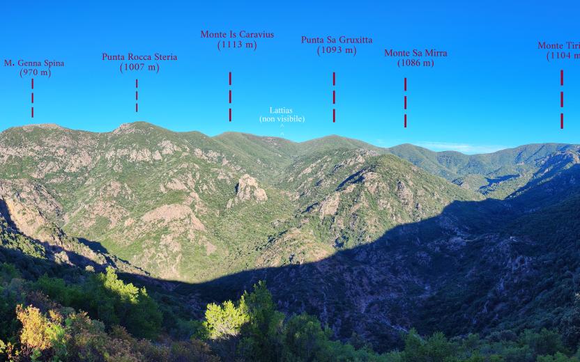
Alte vie Gutturumannu: panoramica da Giriadroxiu
Alessio SabaCC- Agenzia regionale Forestas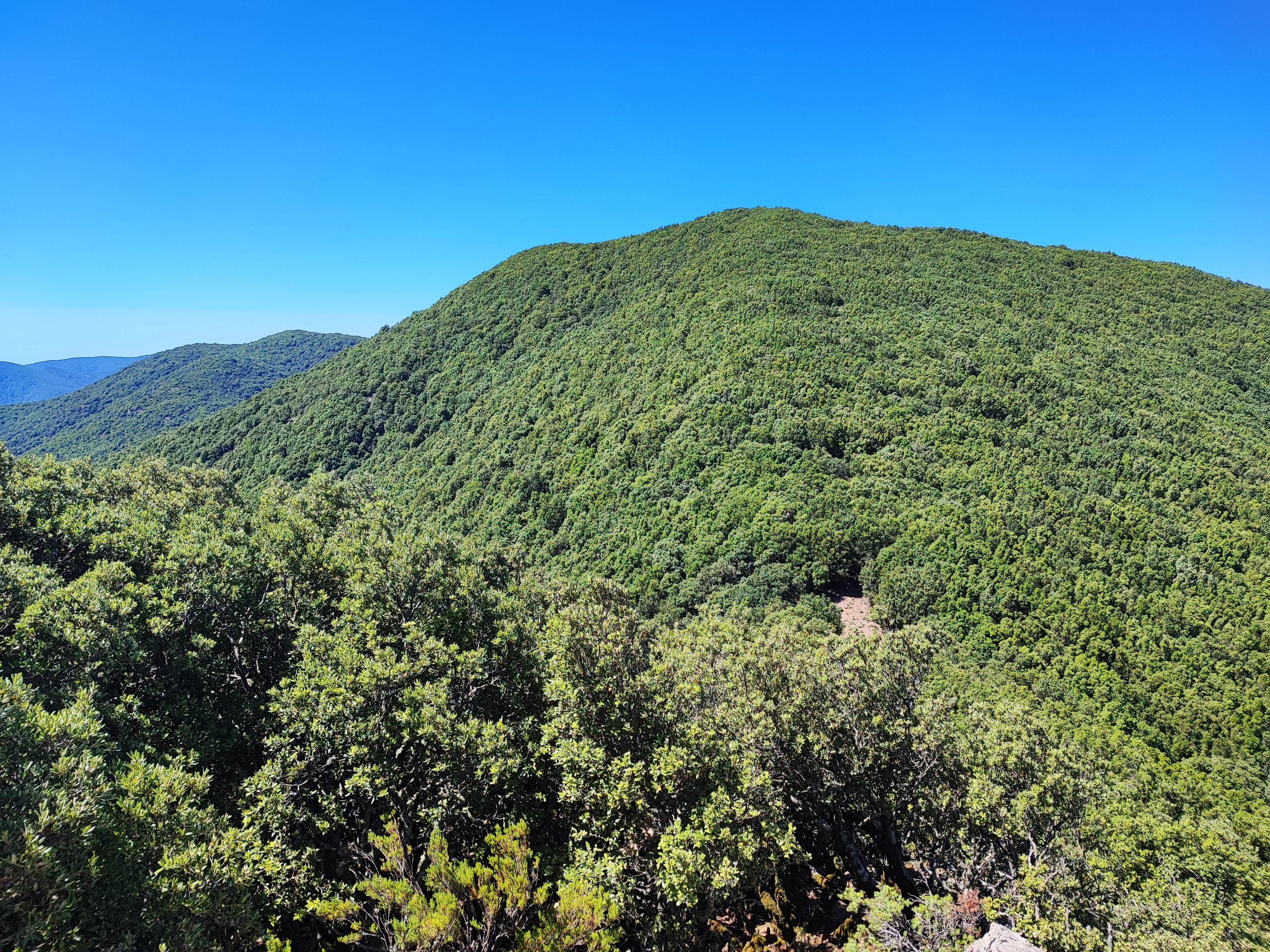
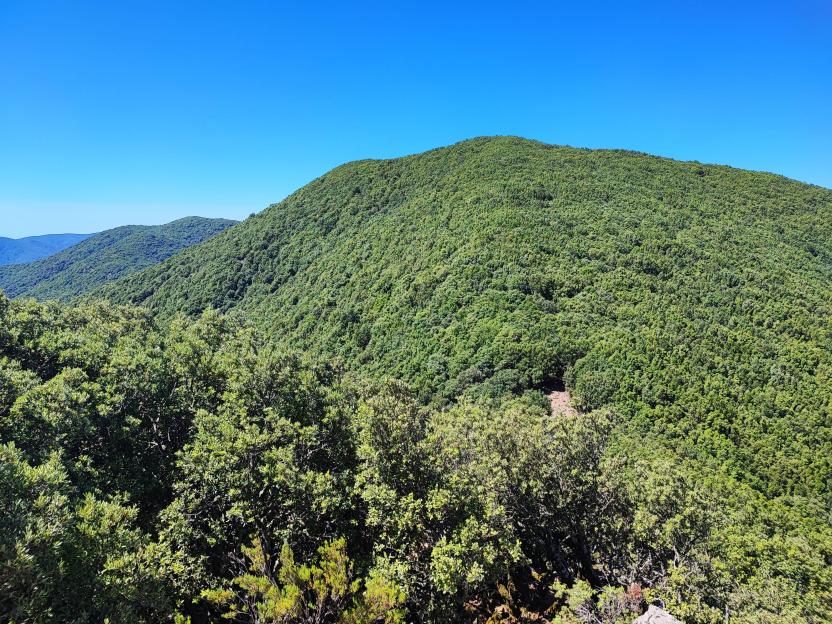
punto panoramico oltre Arcu de Sa Gruxitta, verso cima Caravius
Alessio SabaCC- Agenzia regionale Forestas
209 - Monte Lattias, sulle creste sommitali.jpg

209 - Monte Lattias da Is Seddas.jpg
creste del Lattias.jpg

arcu suergiu vs lattias.jpg
402394.jpg