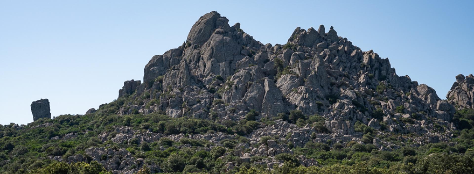
Arcu 'e Tidu - Baccu Malu - Castiadas, Sentiero Italia Trail, 28 Stage C-800

The pathway
Roadbook
You start from the pass of Arcu 'e Tidu, at the Noci Barracks site of theForestas forestry authority. In front of the gates to the fine facilities, which also include the Sardinian Deer Museum, there are signposts on the left indicating the trail.
You head down alongside the fence of the Barracks, past holm oak mixed with young pine trees, and then come to a wide clearing with some eucalyptus trees just on the other side of an old dirt road. You cross the Riu Campu Omu, starting to climb up along a fine mule track through the woods and keeping right at the next fork to quickly reach the forest track that links the Barracks to the mountain peaks.
You continue on the slightly uphill slope, with splendid views of the Maidopis area and the wide valley of the Riu Campu Omu, when the vegetation allows. Keeping to your left the pool of S'Eremigu Mannu, which supplies the aqueduct that in turn supplies Noci Barracks, proceed along the unsurfaced road until you come to a beautiful wooded saddle with the ruins of a building known as Gunventu. This is an archaeological site of great historical importance, not yet studied using scientific methods. Continue on the dirt road for a few more metres, then leave it to take a path on your right.
You head downhill, easily fording the Rio Gunventubefore climbing steeply up through the holm oak forest. The ascent becomes steeper and more demanding once higher up on the slopes of Bruncu Perdu Cossu, on a fine charcoal-makers’ mule-track with hairpin bends that leads through the woods. Large charcoal-making sites tell of an age when the primary holm oak forest was razed to the ground and turned into charcoal. The trail reaches the summit at Perdu Cossu, meeting on the right the branch-off for trail 812.
Continue your ascent in an easterly direction, now climbing more gradually and reaching a characteristic pass between large rocks at s'Intaccu de Perdu Cossu. From here the mule track becomes a fine path that zigzags between large granite boulders, with splendid views of the rocky peaks that characterise the upper sector of the Sette Fratelli. You'll see a branch-off on the left that would lead you to Baccu Malu, then you reach the summit at Arcu Su Padentinu, starting to descend via wide hairpin bends again on a mule track and through the wood in a southerly direction until, climbing again and walking along a rocky backdrop obstructed by a young wood, you reach Acqueddas, with amazing panoramic views. You then head down into the woods at Conca 'e S'Ilixi until you reach a dirt road.
At Arcu Straderis you pass the branch-off with trail 800° on the right, keeping left. From here the path descends steeply through the woods, in an easterly direction and towards the sea which is now visible. A little further down you take a fine mule track skirts close to the course of the Riu Ceraxa, which flows down from the highest peaks of the mountains. The route takes you to the opposite bank and remains at a high elevation, passing under the summit of Mount Melas, then descending to a spectacular pass near a dirt road at Pedra de Sa Mitra. Follow the dirt road downhill, in the woods, keeping left at the next two crossroads.
At Mitza de sa Teula the dirt road turns into a mule track, following a stretch with gentle gradients and then a steep descent in the wide thalweg of Baccu Sa Figu. You follow the mule track, steadily losing altitude until you come to a dirt road, now inside the forestry site of Castiadas. Heading downhill from here, you quickly reach theformer penal colony at the large square where the trail ends.
Trail data and altimetry
Photogallery
Download trail documentation
Opinions
No reviews yet for this path


