Scala Alistu - Bingionniga Forest (C-202)

The pathway
Useful informations
Roadbook
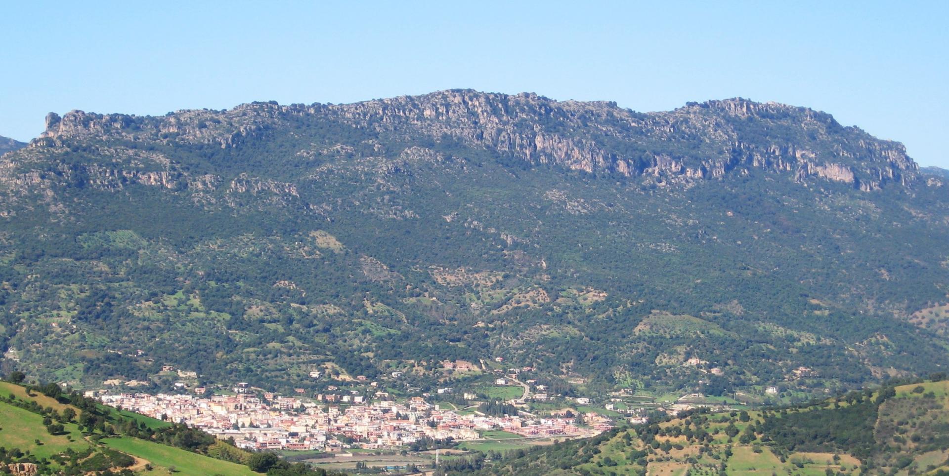
The trail starts in the Scala Alistu locality (634 m asl) - at the boundary between the municipalities of Tertenia and Jerzu. It starts with a descent through a splendid holm-oak wood, following some old pathways made in the past by forest users, and then continues on a forest track for about 500 m. The trail then rejoins the pathway, which in the past was also used by charcoal burners, as witnessed by the many charcoal terraces along the route, and arrives in the Is Tuvaras locality.
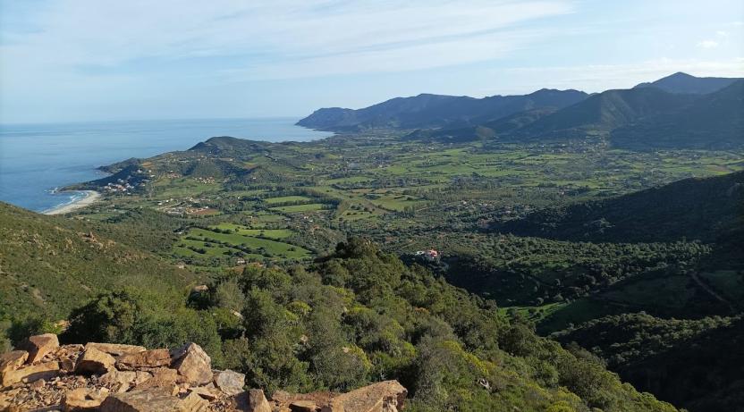
From Is Tuvaras the trail continues on a forest track for about 800 m until it reaches the information point at Bingionniga forest. Continuing along the forest track, after about 200 m you will reach the picnic area. The trail continues on the forest track, following the Rio de Alustia stream. Then it heads south, passing by an old kiln, at an elevation of 165 m asl. Next, it goes uphill on a forest track, reaching the boundary between Jerzu and Tertenia, as well as the boundary of the Bingionniga Forest.
The trail has now descended to 230 m asl, near Nuraghe Marcusu. Here, Trail C-202 ends and Trail C-102 begins, leading to the Fustiraxili locality in the countryside of Tertenia.
Trail data and altimetry
Photogallery
Download trail documentation
Opinions
No reviews yet for this path


