Buggerru - Monte Rosmarino - Pranu Dentis (D-303)
Validation level In pre-accatastamento o manutenzione

Trail summary
Path lenght 7.800 m
Time lenght 3 hours
Difficulty level More infos sui gradi di difficoltà Intermediate-high difficulty (E-level)
Activities and warnings
Pathways Activities
The pathway
This trail starts on the outskirts of Buggerru at the foot of mount Rosmarino.
Following a tarmacked road for about one kilometre, you come to the mining site of Nanni Frau and subsequently to the Su Solu crossroads, which intersects with trail D-304.
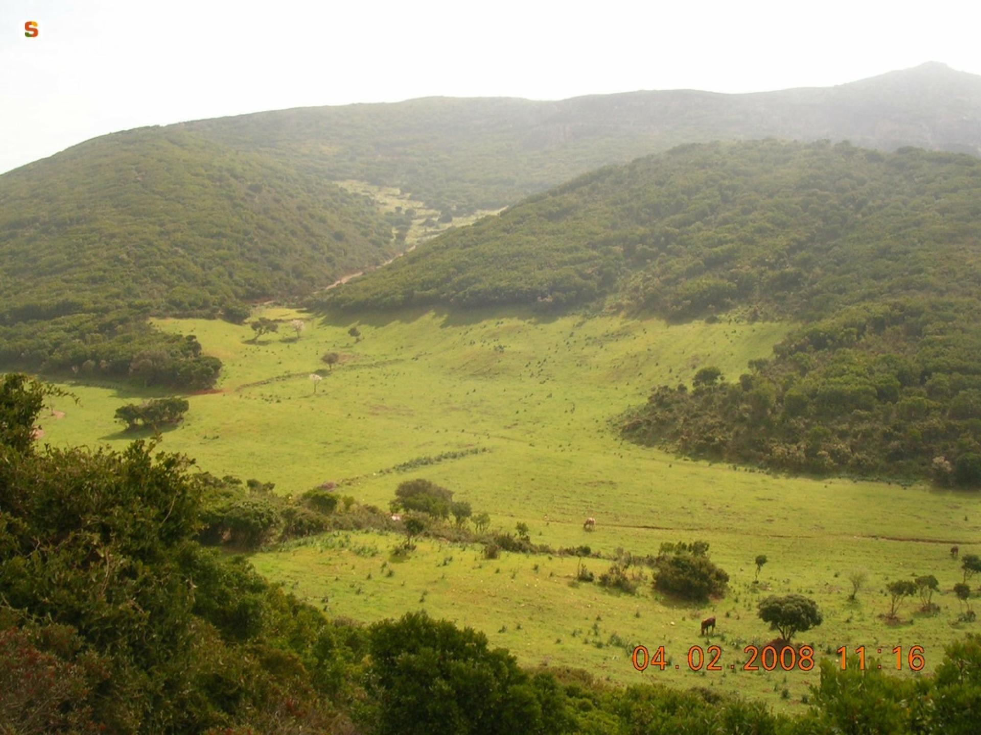
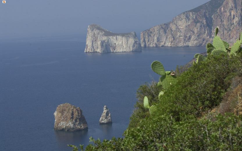
Continuing on, you arrive at Pranu Dentis, crossing the peaks of mount Segarino (636 m.s.l.m.) from where you can enjoy fine views of the coastline stretching from Capo Frasca to Capo Altano (Portoscuso).
Proceeding, you come to mining ruins of Pira Roma before reaching Pranu Dentis, your arrival point and the intersection with trail D-302.
Trail data and altimetry
Validation level In pre-accatastamento o manutenzione
Path lenght 7.800 m
Time lenght 3 hours
Difficulty level More infos sui gradi di difficoltà Intermediate-high difficulty (E-level)
Total elevation gain 609 metri
Maximum altitude 537 metri
Minimum altitude 72 metri
CAI code D-303

Trail map
Skip map and go the next sectionDownload trail documentation
Related pathways
Skip Pathways slider and jump to the next sectionPathways Buggerru loop - Henry Tunnel - Cala Domestica (D-301)
-
Time lenght 3 hours 15 minutes
-
Path lenght 11 km 200 m
Pathways Gutturu Cardaxius - Grùgua - Genna Arenas (D-302)
-
Time lenght 3 hours 30 minutes
-
Path lenght 12 km 900 m
Pathways Pranu Dentis - Miniera S.Luigi (D-302A)
-
Time lenght 30 minutes
-
Path lenght 1 km 900 m
Pathways Grader's path (D-306)
-
Time lenght 45 minutes
-
Path lenght 2 km 800 m
Pathways Sentiero "valle della Calamina" (D 301A)
-
Time lenght 30 minutes
-
Path lenght 1 km 300 m
Points of interest
Skip POI slider and jump to the next sectionPoints of interest Miniera Nanni Frau
-
Route location Nanni Frau

Points of interest Miniera Su Solu
-
Route location Su Solu

Points of interest Monte Gennargentu
-
Route location Punta Bau Mannu
Points of interest Villaggio Planu Sartu
Related itineraries
Skip the Related itineraries slider and jump to the next sectionItineraries Carta 11. Iglesiente e costa di Buggerru
-
Difficulty level More infos sui gradi di difficoltà For Experienced Hikers (EE)
Itineraries CMSB - STAGE 03 – FROM MASUA TO BUGGERRU
-
Difficulty level More infos sui gradi di difficoltà soft mobility (max level)
Itineraries CMSB - STAGE 04 – FROM BUGGERRU TO PORTIXEDDU
-
Difficulty level More infos sui gradi di difficoltà soft mobility (medium level)
Opinions
Rating details
No ratings yet
No ratings yet
No ratings yet
Have you been here before?
After walking a path, you can leave a rating on your experience
Rate your experienceNo reviews yet for this path
Report any problem on the trail
Have you encountered a problem during your path on the path? Don't worry, you can easily report it through this form. You will help us keep the trails in perfect condition for other hikers. Thank you for your contribution!
Report a problem


