Ascent toMonte Caravius (D 221)
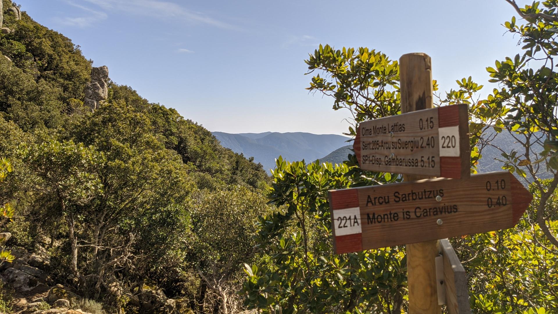
The pathway
Useful informations
Roadbook
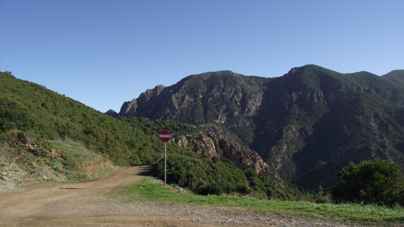
The trail starts at the junction of the old mining road at km 49,1 of the SS 293 (m 231 s.l.m.). Follow the road, which with a couple of hairpin bends gains altitude, for about 1.2 km; then take the path of another old driveway, which engages on the left of the road (m 320 s.l.m.), and follow it in direction south-east, up to wade the Riu Fluminiadamu (altitude: m 340; walking time: h 0.45)
NOTE: this part of the route could be slightly shortened by about 1.5 - 2 km by parking the cars at Medau Pilisi taking the path opposite the access road to Medau Mancas which leads in 5 min on the old driveway and then, in further 10 min to the ford on the Riu Fluminiadamu, from which you continue following the path described below.
There is an abandoned barite mine nearby.
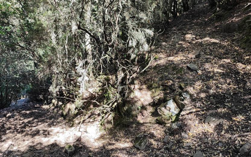
After forded the river, the trail continues on a mule track heading north-east; when the mule track takes a south-east direction, turn right, heading south -south-west and take a mule track that climbs up the steep ridge. Follow this mule track that, after the initial ascent, heads towards south-east until crosses the mining road (altitude: m 510, walking time: h 0.35 - 1.30). After crossing the road, take a carriageway, just opposite, and follow it for about 150 mt heading south-west, turning left on a mule track heading east which, slightly uphill, parallel to the road, leads to Arcu de Sa Mossa (altitude: 588 m; walking time h 0.20 - 1.50).
NOTE
- This second part of the route could also be avoided by reaching Arcu de Sa Mossa directly by car along the mining road.
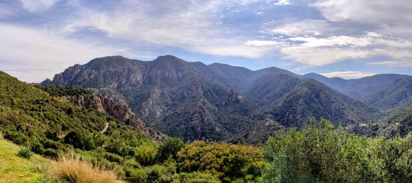
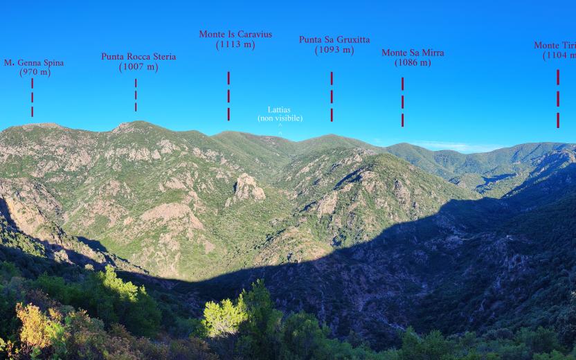
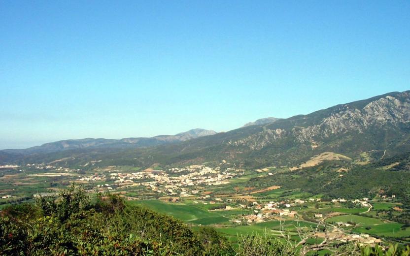
- From Arcu de Sa Mossa it is possibile to admire a magnificent view: from left to right, the granite ridge of Mount Genna Spina (m 971), the Rocca Steria (m 1009, the Mount Is Caravius (m 1112) and then, after the Arcu Sa Gruxitta (m. 996), the peaks of Sa Gruxitta and Sa Mirra and the Tiriccu mountains (m 1104), the Mount Nieddu, with its wooded and verdant valleys below, and the Cuile Giriadroxiu
From Arcu de sa Mossa resume the rolling stock and follow it heading south-south-east for about 1 km, going down towards the valley floor, then turn left on another rolling stock (which would lead back to Arcu de Sa Mossa) heading north-east to Cuile Giriadroxiu (altitude: m 469, walking time: h 0.20 - 2.10).
From the sheepfold stars, initially directed to north, a mule track that leads to cross the Riu Mannu and, surrounding the Puntata s'Eni on Pani (481 m), reaches after a long ride the ruins of Medau of Conca Carrogas (440 m). It is possible to reach those ruins following a shorter path that engages on the right of the mule track, immediately downstream of the sheepfold Giriadroxiu, and that leads to cross the Riu Mannu upstream of the confluence of the Riu Matzeu Matta (walking time: h 0.10 - 2.20). Then, heading east, forded a couple of times the river, and reach the ruins (walking time: h 0.20 - 2.40).
NOTE
- The mule track that surrounds the P.ta S'Eni su Pani is worth to be walked for the suggestiveness of the places (stream, streams, waterfalls) by those who do not have the time or training necessary to continue the climb to the Mount Is Caravius, thus completing a loop with the marked section of the D 221 trail.
- Some fords on the Riu Mannu cannot be crossed in case of flooding of the river.
The location is suggestive, dominated by the granite towers of Punta Carrogas (629 m) and Conca su Murigau (529 m). Continue on the right heading south, overlooking the mule track that on the left comes from Giriadroxiu and a branch, always on the left, that heads towards Rocca Steria. The mule track goes up the Rio Matzeu, crossing it several times and heading towards south-east, until it reaches, at an altitude of about 750 m (walking time: h 1.10 - 3.50), the carriageway, now in poor condition, which comes, after climbing the valley of Riu Mannu, from Arcu de Sa Mossa.
Cross the carriageway (ignore its continuation on the left) and, continuing in the direction south-east, take another, completely wrecked, old uphill driveway which is located exactly in front. Once reached a spring (walking time: h 0.10 - 4) the old driveway continues under the woods with a series of five hairpin bends, until arrives, slightly downhill towards east, to Arcu Sa Gruxitta (altitude: 996 m, walking time: h 0.45 - 4.45).
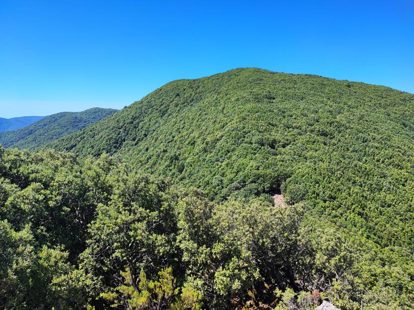
From the pass, going up the wooded south ridge, on trail tracks, the trail reaches the summit of Mount Is Caravius (altitude: m 1113, walking time h 0.30 - 5.15), the highest peak of Sulcis.
The panorama is very wide, dominated at noth-ovest, beyond the underlying Arcu s'Arbutzus (1000 m), by the imposing granite towers of Mount Lattias.
Trail data and altimetry
Photogallery
Download trail documentation
Opinions
Reviews
Alessio
Percorso lungo, impegnativo ma bellissimo, sia per il panorama che si gode già arrivati a arcu sa mossa, e poi dopo arcu sa Gruxitta, sia per il fascino della scalata attraverso un tracciato ben segnato, sulla vetta più alta dei monti del Sulcis, da percorrere assolutamente!
Giova
Il sentiero risulta essere ben segnalato ed inserito in uno dei luoghi più spettacolari della Zona. Già da S'arcu e Sa Mossa si possono ammirare quasi tutte le vette over 1000 del Sulcis, e percorrendo il sentiero in periodi ricchi di pioggia, si gode di diversi angoli meravigliosi. Certamente impegnativo per il dislivello, ma da fare per chi vuole esplorare le meraviglie di questo angolo di Sardegna
Gutturumannaro
Un sentiero Lungo e a tratti poco manutenuto. MA parliamo uno dei sentieri più lunghi e più vari di Gutturu Mannu. Il Caravius, quando ci sali, più che una vetta sembra una collina. Non si capisce che sei oltre mille. Ma vicino c'è il Lattias. S'arcu Sarbutzus, e sei arrivato nei graniti spettacolari.


