The pathway
Useful informations
Roadbook
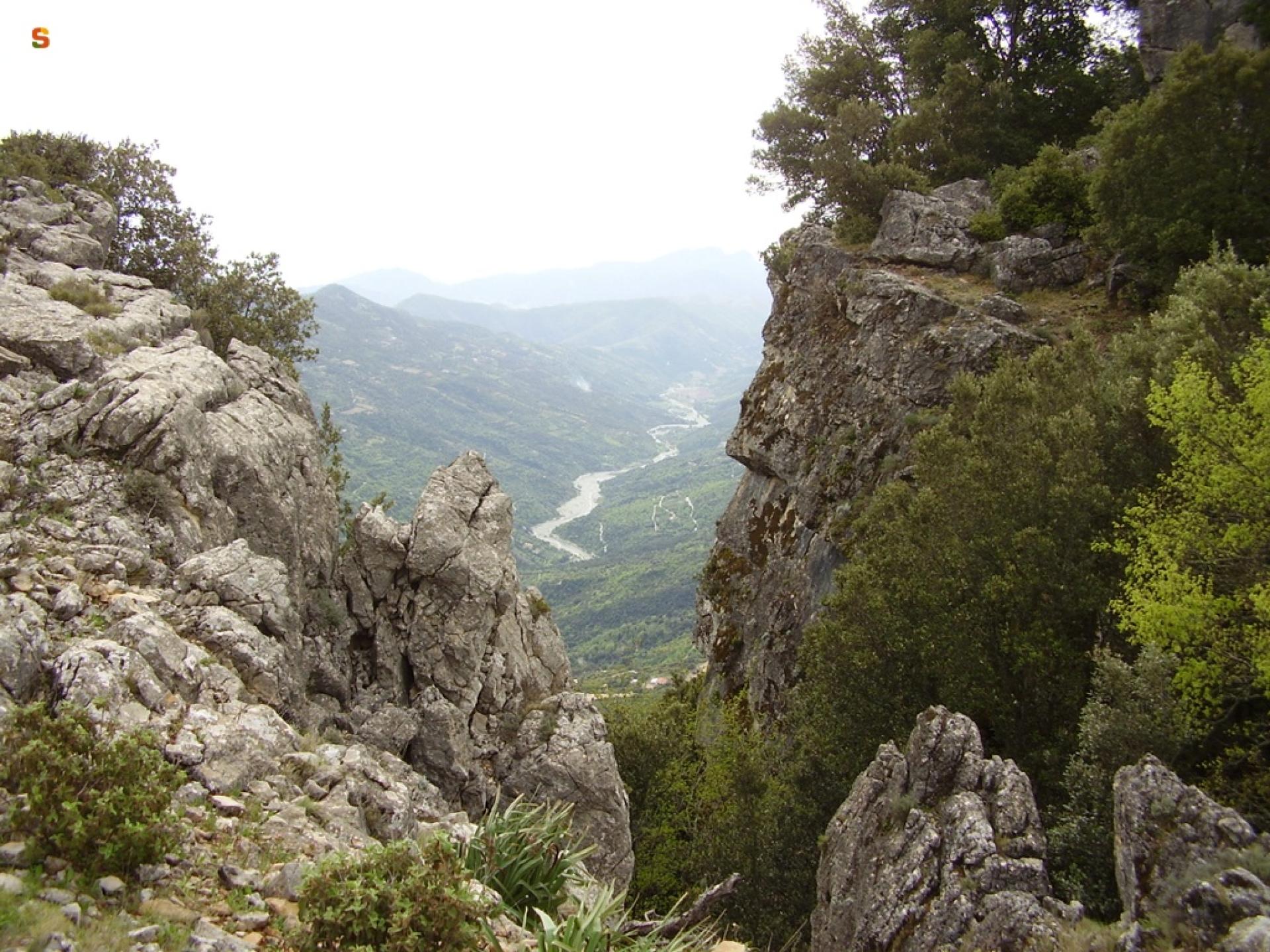
Starting from the Sarcerei pass (963 m asl), at the Cantoniera (roadside house) of the same name along road SS 198, walk along the east-facing slope of the Abbafrida valley below the relief of Monte Tricoli, crossing a holm oak grove until you reach the Genna ’e Padenti Accas locality. Then, a little further down the valley, take the forest track that runs slightly above the valley floor.
After a little more than 3 km of forest track, the trail bends eastwards and runs along the left side of the valley, reaching after almost 800 m uphill the municipal park of Seleni (962 m asl), an important natural attraction for the people of Lanusei and visitors. From the Seleni forest, the trail turns downhill towards the town of Lanusei, crossing the historic Mandas - Arbatax railway twice and reaching the railway station (550 m asl).
Trail data and altimetry
Photogallery
Download trail documentation
Opinions
Reviews
Giò
Bello soprattutto l'anello panoramico attorno a Seleni


