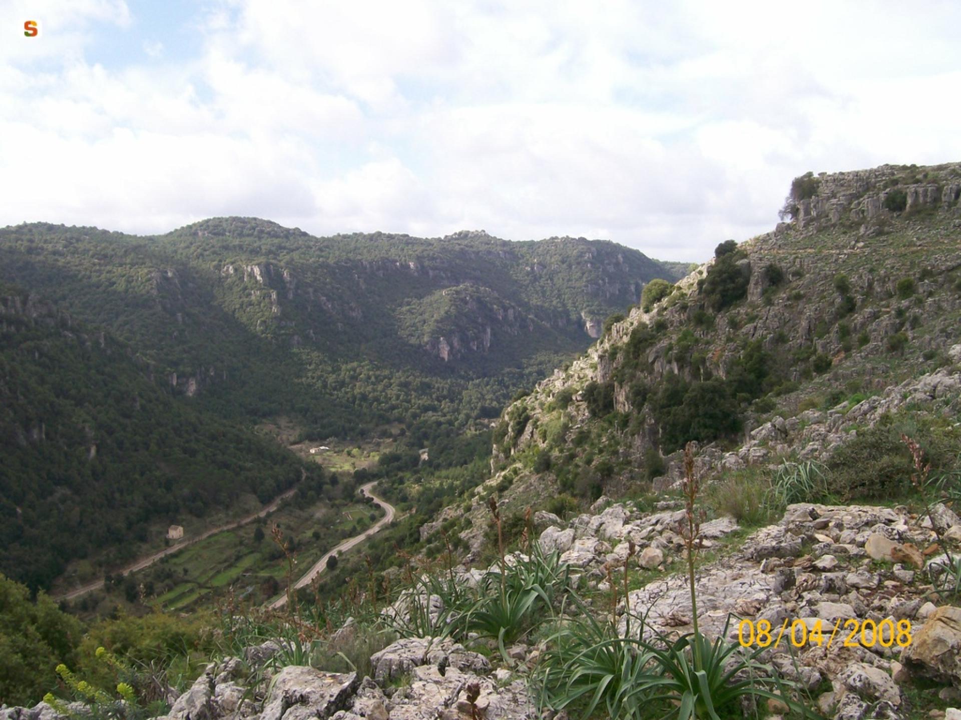
Gairo Taquisara - Is Tostoinus - Perdu Isu (T-102)

The pathway
Roadbook
The trail starts in the little mountain hamlet of Gairo Taquisara near the river Taquisara. The route sets off on the orographic right slope towards the valley of Cabu de abba.
After about 3.3 km from the start, the path reaches the upper part of the limestone tacco formation in a barren landscape characterised by very low tree cover (known as Mountains of the Moon).
Proceeding for about 5.5 km you reach Is Tostoinus. There is a picnic area nearby.
Subsequently, it is possible to proceed towards the Donna Pruna spring, a variant of the route (see junction 102 A) which allows you to continue towards Niala. Or staying on the path, head in the direction of the Perdu Isu spring. Crossing the limestone tacco covered by a holm-oak wood, and climbing to over 1000m, you reach the top where the nuragic village of Perdu Isu and the sacred well are located. This point is already over 9.2 km from the start.
Proceeding towards Gairo Taquisara to complete the loop of the trail, you come to the picnic of Su Candelessargiu area near the main road.
Trail data and altimetry
Photogallery
Opinions
No reviews yet for this path


