Romana - Cossoine (E 202)

Image credits Agenzia Forestas
The pathway
Roadbook
The trail starts in the village of Romana, near the old sports field, in the Tringiada area; here there are the remains of the underground church of San Giovanni Sottoterra. The trail continues through the Furria furria and Su achileddu area, passing through some stretches on the SP77. After about 2.2 km the trail reaches Su Cattari, in the Cossoine area, where it's possibile to observe numerous "pinnette di pietra", characteristic huts of the area.
The trail continues along the closed to traffic road Romana-Giave (former SP 77), which then abandones in the Monte Sa pala 'e su frassu area, and then crosses the narrow Badu 'e ludu stream. Next goes up the hill towards Monte Rattari entering the former forestry site of Monte Traessu near the kaolin quarry in the Sa Rocca Manna area.
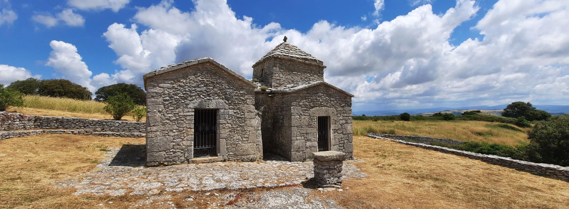
Continuing along the forest track in a northerly direction, the trail reaches after about 2.2 km the entrance to the short path that leads to the Sos Istrampos waterfall. After another 1.3 km the trail reaches the Paule Manna rest area, then continues along the forest track which after 2.3 km leads to the church of Santa Maria Iscala.
After leaving the church, the trail continues downhill; after about 3 km it reaches the archaeological area of nuraghe Aidu, where it is possible to water the horses and find an area equipped for the maintenance and charging of e-bikes. From here the trail crosses the state road and goes up towards Cossoine (about 100 meters of altitude difference). The trail ends near the SS 131, where another RES route begins: the G 502, which leads to Bonorva.
Trail data and altimetry
Photogallery
Download trail documentation
Opinions
No reviews yet for this path


