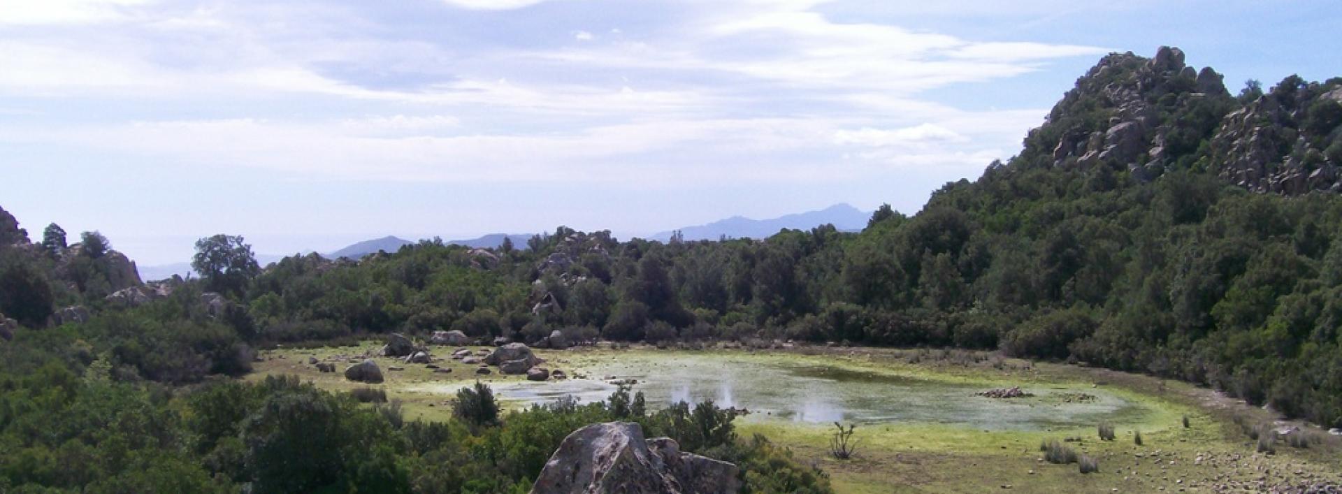
From Genna Arramene to Genna Salbene (B-533)

Image credits Sardegna Digital Library
The pathway
Useful informations
Roadbook
From the trailhead, in the Genna Arramene locality, almost inside town, walk about 900 m along a forest track and then, after about 800 m, take a mule track, leaving the firebreak on the left. Continue on the forest track then near a small clearing on the left take a mule track. Continuing downhill along the path, after a series of twists and turns, you will arrive at the Cuile Sala Sterria sheepfold, an old stone building of which only the perimeter walls remain.
Continue through the dense forest with slight ups and downs for 1.8 km until you reach Piscina Limpia. Here, leave the track almost immediately to take the path to the right. The path climbs steeply uphill, then continues on level ground and after about 1.3 km will take you to the pools and small waterfalls of the Rio Mamutorco. Having forded the Rio Mamutorco, walk on a short stretch to the main track, taking the dirt road to the right.
Continue along the route. At the As Argiolas de Lopene locality you will come to the crossing with Trail B533 on the right. After about 1.1 km, the trail heads to the right towards the Cuile Tentige picnic area. From here begins a fairly steep ascent that is at times fairly challenging because of the gradients and of the path’s terrain. You will then arrive at Serra Oddala on a small plateau with wooded pastureland where you will find another picnic area. Leaving the picnic area, take the track that will lead you to Ghenna Salbene where the trail ends, crossing the Eltili forestry area.
Trail data and altimetry
Photogallery
Download trail documentation
Opinions
No reviews yet for this path


