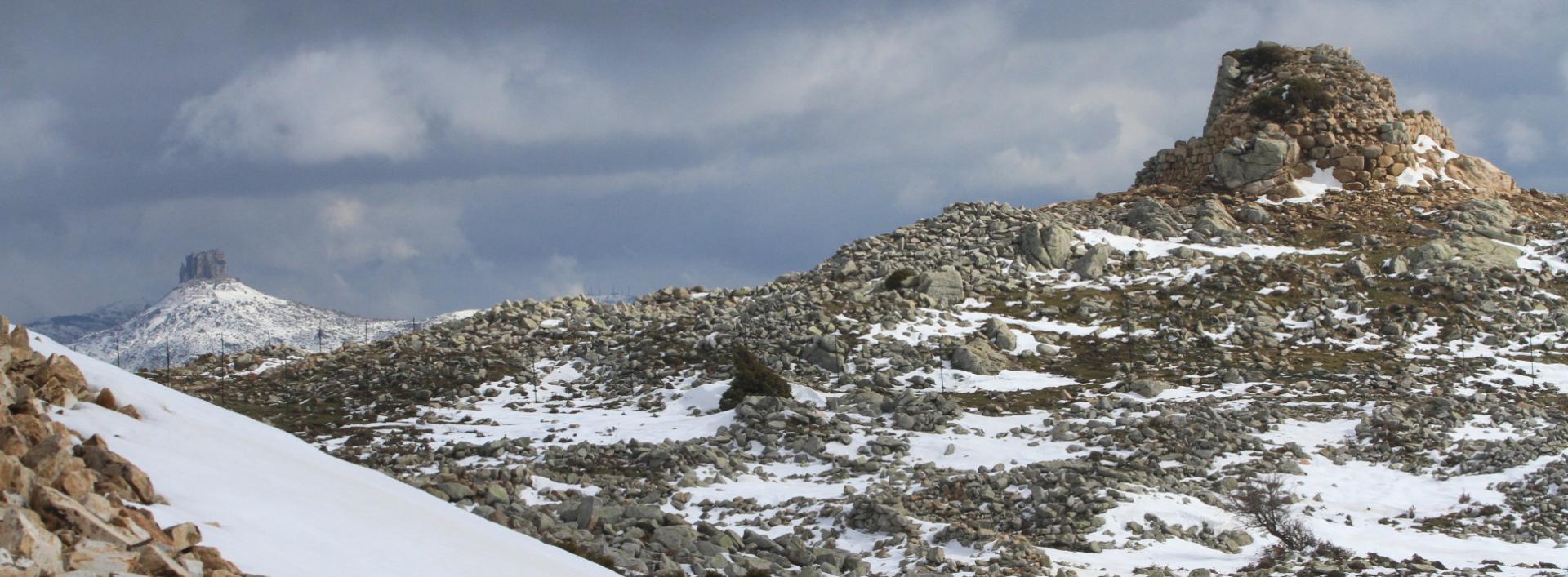
Flumendosa – Pinningassu (T-122)

Image credits Sardegna Digital Library
The pathway
Useful informations
Roadbook
The trail begins in the Frummini (Arzana) locality, near the course of the Flumendosa river at the end of Trail T701 at 670 m asl.
After following the asphalt road of the Gennargentu in the Arzana area for about 2 km, the trail bends eastward and, following an old mule track, reaches 770 m asl where it crosses an old forest track that runs uphill along the entire right bank of the Accu Lassinosa stream, crossing holm-oak woods interspersed with areas of Mediterranean scrub until it crosses the Del Tonneri asphalt road in the Lettene locality (947 m asl).
From here, follow the asphalted road for about 500 m in the direction of Perda Liana and then turn onto a mule track to reach the Pinningassu locality (1058 m asl) downhill of the natural monument of Perda Liana after a little more than 350 m.
Trail data and altimetry
Photogallery
Download trail documentation
Opinions
No reviews yet for this path


