Girgini - La Marmora Refuge T-722

The pathway
Roadbook
The starting point is the forest track to the Girgini Forest, at the foot of the limestone outcrop (Taccu) of the same name, which is a landmark for the entire area. A little to the south of the Taccu, you will first find a forest nursery and then a picnic area with stone benches and tables at Sedda ’e s’Ena, where a dirt road forks off on the left and the trail starts.
The dirt road rises slightly, under a beautiful wood of ancient holm oaks that soon thins out, giving way to junipers and a small reforestation area. The climb gets steeper here, and the dirt road turns into an uneven track until it reaches the area of Funtana Lettu Piccinnu, where there is a spring. Turn right and then take a trail to the left, initially steeply uphill, then with gentler gradients.
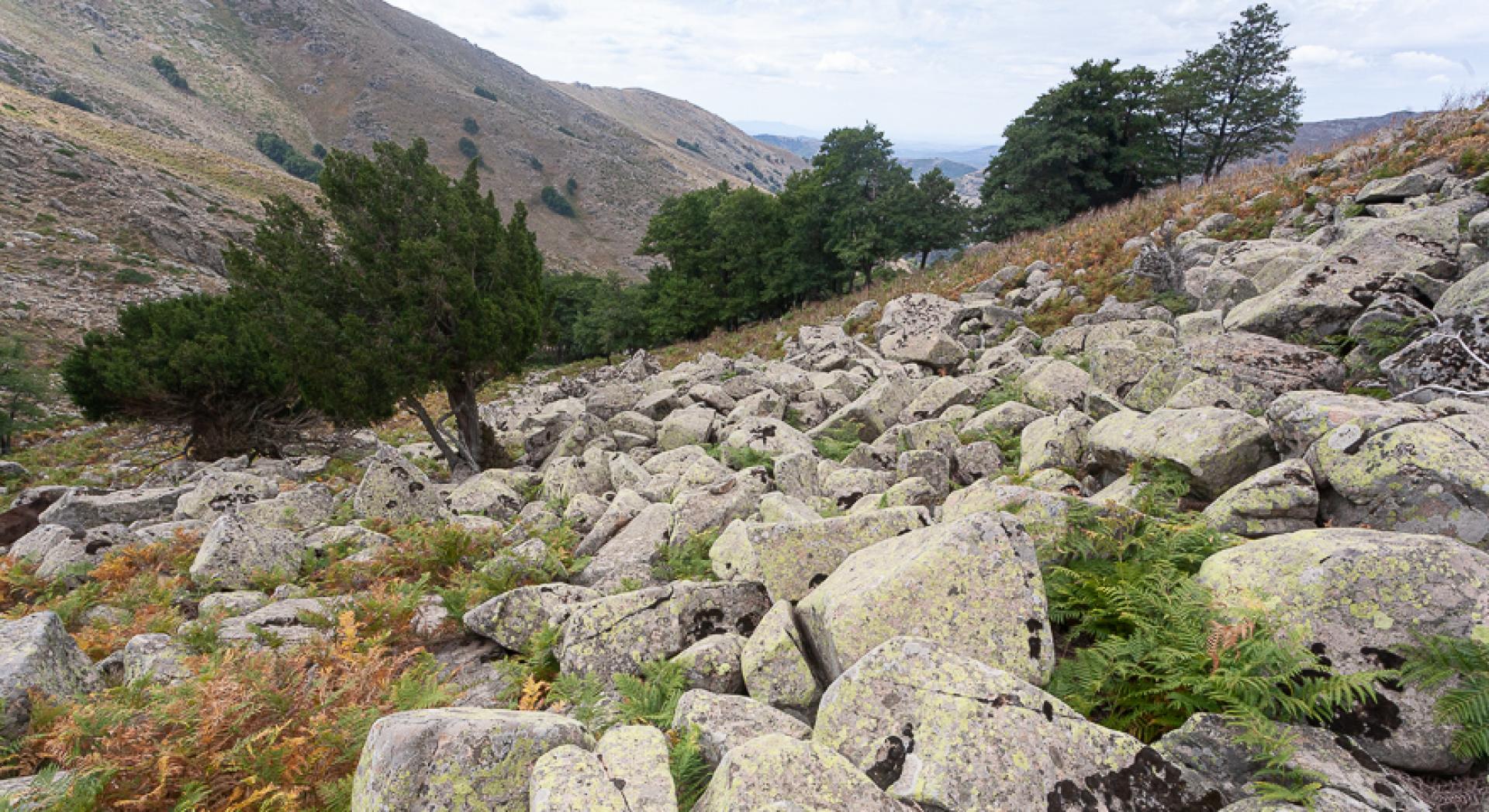
The trail circles the western slopes of Bruncu Allasu, with gorgeous views of the Girgini area, now surrounded only by garrigue vegetation and occasional outcrops of metamorphic rocks. It will gradually take you to the north face, bringing you within sight of the highest ridge of Gennargentu, the impressive talus field of Su Sciusciu with its steep stream channels clothed in black alder riverbank vegetation. After passing by Funtana Furau, the track gently descends, in the direction of two stream channels in the Sa Minna area.
After passing the second stream channel, you will get to fenced pastureland. Walk slightly uphill until you reach the remains of a dirt road built on an old mule track used in the past to build some water reservoirs. Take the dirt road turning left, slightly downhill, to reach a clearly visible turnoff near a panoramic slope where you can see a small building attached to the aqueduct. From here, turn right on a steep uphill stretch, on the remains of a dirt road built on an old mule track. The mule track once probably reached and served the Rifugio La Marmora (mountain hut) which collapsed a few years after its construction due to poor workmanship and lack of maintenance.
Continue uphill, keeping to the right the large granite landslide of Su Sciusciu, which is dotted with some imposing yew trees. After passing a small stream channel with another small building for the water collection, continue further uphill to a stream channel flanked by large alders where the trail becomes a narrow footpath. On the way up you can already spot the ruins of the old Mountain hut.
Head north towards a rocky outcrop; here, the path makes a bend and then starts to climb sharply again until you reach the ruins of the mountain hut. Here you will also connect with Trail 721.
Trail data and altimetry
Photogallery
Download trail documentation
Opinions
No reviews yet for this path


