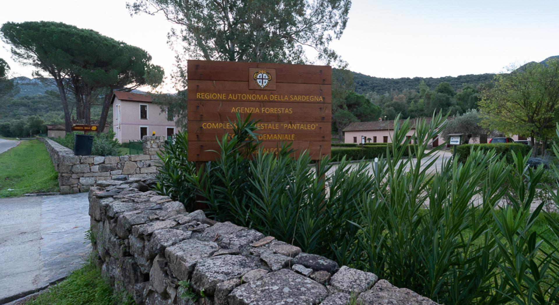
Casa Pixinamanna - Is Cannoneris - Pantaleo (D 200)

The pathway
Useful informations
Roadbook
Keep to the left the forest barracks of Pixinamanna, seat of the offices and workshops of Fo.re.s.t.a.s. Agency. Continue on a dirt road, keeping on the right rio Palaceris that will be crossed ahead. After passing a bar, the dirt road becomes a path that runs along the river bed.
Continuing on the stream bed, the trail follows old railway route, built to bring coal from the heart of the mountain to the sea, near the bay of Agumu. The railway was built by the entrepreneur Tonietti who managed the cutting of the woods in this area. The trail walks across the stream several times, offering beautiful, but sometime not easy, crosse then continues until reaches a dirt road that leads back to a building known as Dispensa Tonietti that once was the site of the coal yard.
The trail continues along the compound fence, leaving out a fork on the left and crossing a bridge; then turn right again, leaving behind a cart track that bends upwards. Although the floor is battered by floods, you can still recognize a beautiful cart track, almost four meters wide, a road of primary importance for forest management (and, in the past, for the transport of the coal from upstream to the coast where it was embarked). The cart track overtakes the stream where once there was a bridge, of which the remains of the masonry bases; the trail starts then, slowly and gradually, to rise, advancing into the heart of the mountain. As it climbs, the road fund improves while the trail crosses young holm oaks and stretches of Mediterranean scrub, offering, from time to time, beautiful views of the area.
With some hairpin bends, the cart track reaches a dirt road near Arcu Montixi, just below the eponymous peak, crossing the pass next to a large fire-fighting tank. The trial crosses then the road entering a thick strawberry tree grove and gradually begins to descend after passing some very panoramic rocky spikes. The mule track ends and the trail continues on a path to the left that runs along the crest of the mountain, leading to the pass known as Arcu Is Cerbus.
From the pass take the mule track to the left downhill, that with large hairpin bends leads to a shady holm oak wood. Leave then the mule track and keep the right to find the trail tracks along the ridge and go downhill, until the trail reaches Riu Crabitta near a large ford.
Cross the river, going to the right under large holm oaks and then going up on the left in a majestic holm oak wood until the trail reaches a junction that quickly leads, on the left, to the Cuile Isca de Crabitta. This beautiful pastoral settlement has been renovated by the former Ente Foreste (now Fo.re.s.t.a.s.) but is currently unused. Keeping to the left the sheepfold, start to climb into a forest that hosts large specimens of holm oak.
The presence of some large pines near Punta Cracheddigoa (675 mt.) indicates some reforestation works. The crest line offers beautiful panorama of all the surrounding valleys
Follow the forest trail on the right, slightly uphill, surrounded by beautiful a strawberry tree wood. After a long flat stretch the trail gradually begins to descend, encountering the starting point of the D 201 trail and then, near a large widening with a hut, it reaches a large intersection at Is Cannoneris. On the left it reaches the homonymous forest barracks, while on the right the D 200 trail continues towards Pantaleo, its second stage. Still on the right, the D 212-A path, detaches itself from the junction in the direction Calamixi.
Continue from Is Cannoneris clearing, proceeding uphill on the beautiful dirt road that leads to S'Arcu 'e Giomaria and from there up to Pantaleo. On the right the trail meets the detour to the D 212-A path . The dirt road initially goes up, then continues flat under a beautiful holm oak,wood often frequented by deer.
Leave the dirt road to take a beautiful downhill road that is located passing a bar on the right. The road descends with steep hairpin bends under a well-maintained forest and continues , keeping the upper part of the Porcile Sebera stream and then continuing until reaches a dirt road on the right. When the dirt road begins to descend, with some hairpin bends, the trail leaves it on the left.
The trail then quickly descends into the dense forest, and reaches the valley floor at the confluence with the Alinu river. Ford it and begin to climb steeply, keeping on the left side of the Riu Acqua Callenti, coming out of the woods on the remains of an old mule track. Back in the woods with small hairpin bends, and leave thetrail in locality s'Arcu 'e s'Arena (in paper like Is Alineddus) where it also meets an old dirt road where the D 207 and D 210 paths converge.
Take on the left a mule track downhill built by the charcoal burners, that offers beautiful views of the valley of Pantaleo and the Sulcis flat towards the sea. The mule track descends steeply towards s'Arcu' and Bidda Beccia, where you can see some ruins in the woods that suggest, together with the name, the presence of an archaeological site (Bidda Beccia means Old village). The trail continues downhill, reaching, through a mule tracks in the woods, rio s'Arremu and goes up again, with some wide bends, on the opposite bank to reach then the locality of Su Mori is Eguas, not far from the old dirt road that once connected Is Cannoneris and Pantaleo which is today however destroyed.
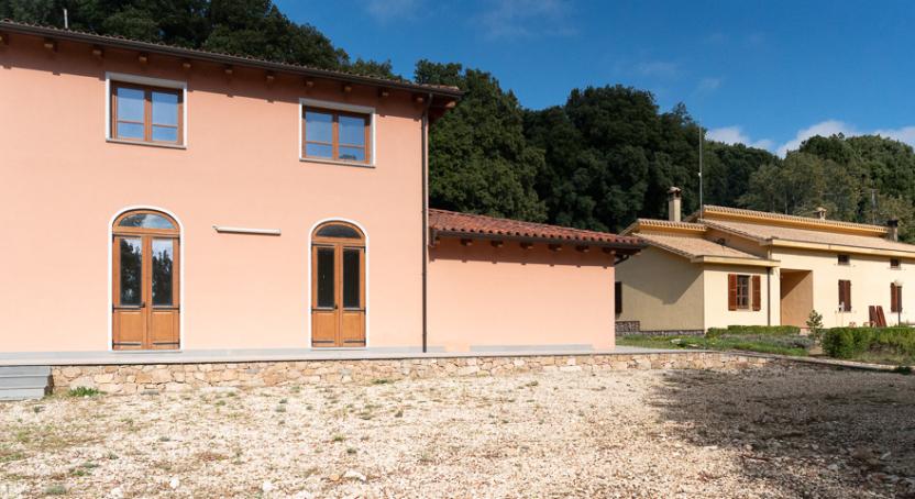
Take a steep descent, reaching and passing a dirt road, then continuing slightly downhill on the opposite bank of a small stream until the trail reaches in Pantaleo the S.P.1. Nearby, on the right, there is the Fo.re.s.t.a.s. Agency. Compound.
Trail data and altimetry
Photogallery
Download trail documentation
Opinions
No reviews yet for this path


