Iscala 'e Cucuttos - Costis de Donianigoro (B-482)

The pathway
Roadbook
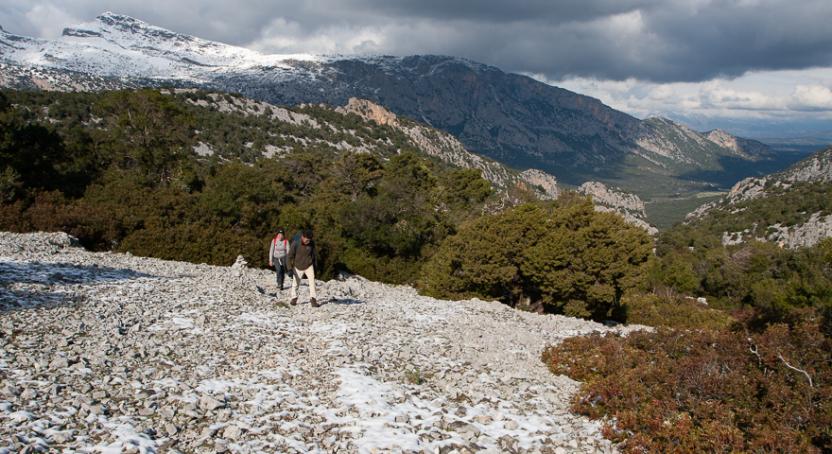
The route starts from the beautiful valley of Surtana, wedged between high cliff faces, and starts rapid climb up Iscala 'e Cucuttos. The ascent is initially through a young forest, before exiting with short hairpin bends strewn with stones. You climb a steep thalweg, overcoming the slope close to a row of juniper.
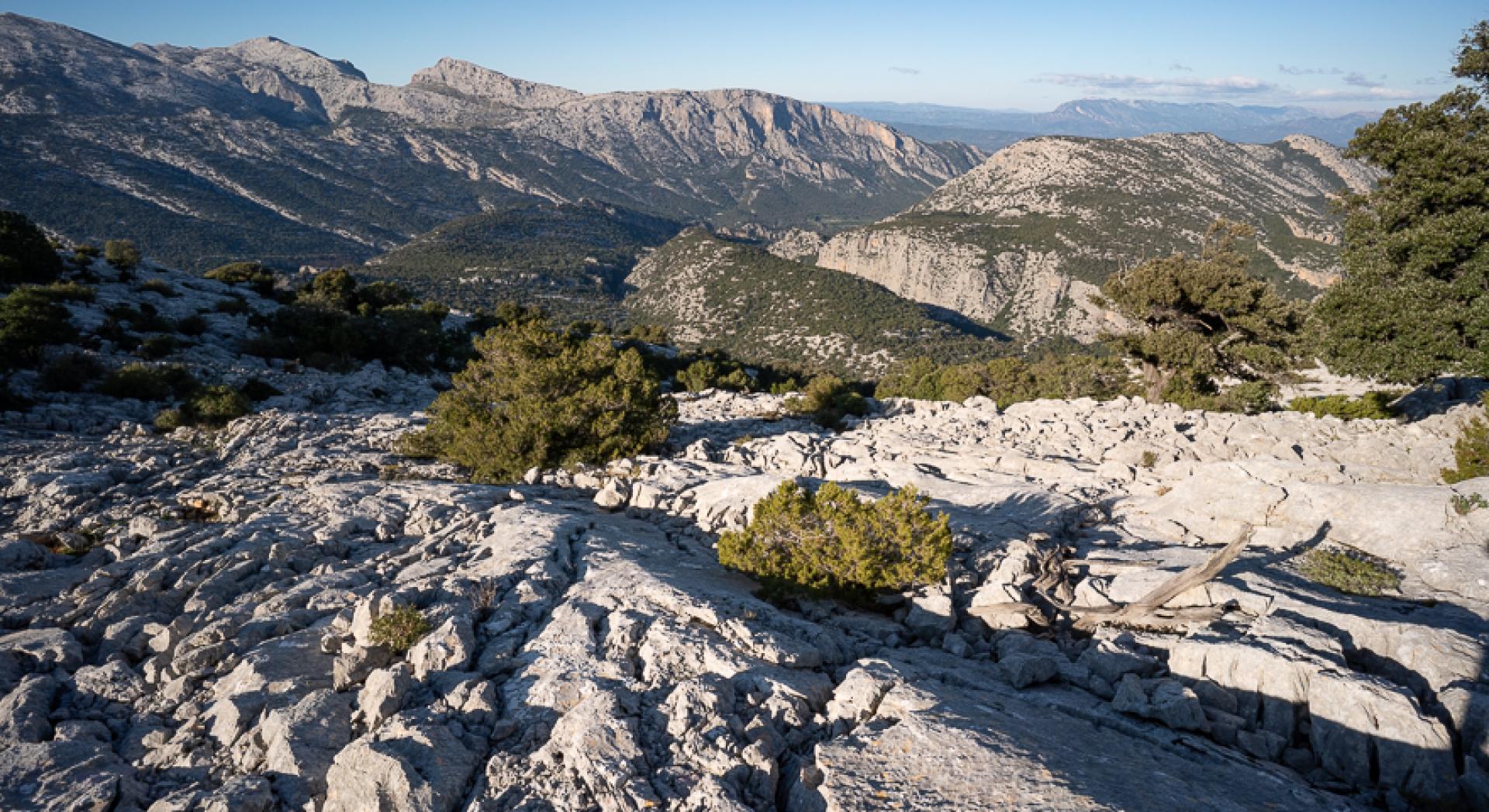
You continue slightly uphill over a barely visible thalweg, between tall junipers. On the left is trail 482A leading to Cuile Cucuttos and, shortly after, on your right you come to trail 482B. From this point the track leads to a steep rocky ridge at Mesattas. This scales the northern slopes of Punta Filos d'Ortu: you walk constantly across razor-sharp limestone, but the sweeping view is breathtaking.
The steep climb ends near Punta filos d'Ortu, where you enter an area of large rocky slabs that you skirt around, sometimes downhill and with difficulty, gradually deviating in a south-west direction. After several ups and downs you finally arrive near the ruin of Cuile Ziu Raffaele, which unfortunately burned down in early 2020. From here you can enjoy an outstanding view of Campu Donianigoro (Donianicoro in Dorgali dialect), towards which you descend rapidly via a small path between the junipers, reaching the maple forest near the protohistoric village where the trail ends, joining up with trail 480.
Trail data and altimetry
Photogallery
Download trail documentation
Opinions
No reviews yet for this path


