Palas de Su Puntale - Arcu 'e Orudè (B-487)

The pathway
Roadbook
Start by leaving Trail 481, going steeply uphill through the forest. To the right is the outline of Su Puntale, a characteristic peak that frames the plateau of the same name to the south-east. You will reach this plateau at the end of the short ascent, continuing northwards on limestone pavements and amidst large juniper trees until you reach the old sheepfold of Cuile Sos Moios which has recently been refurbished.
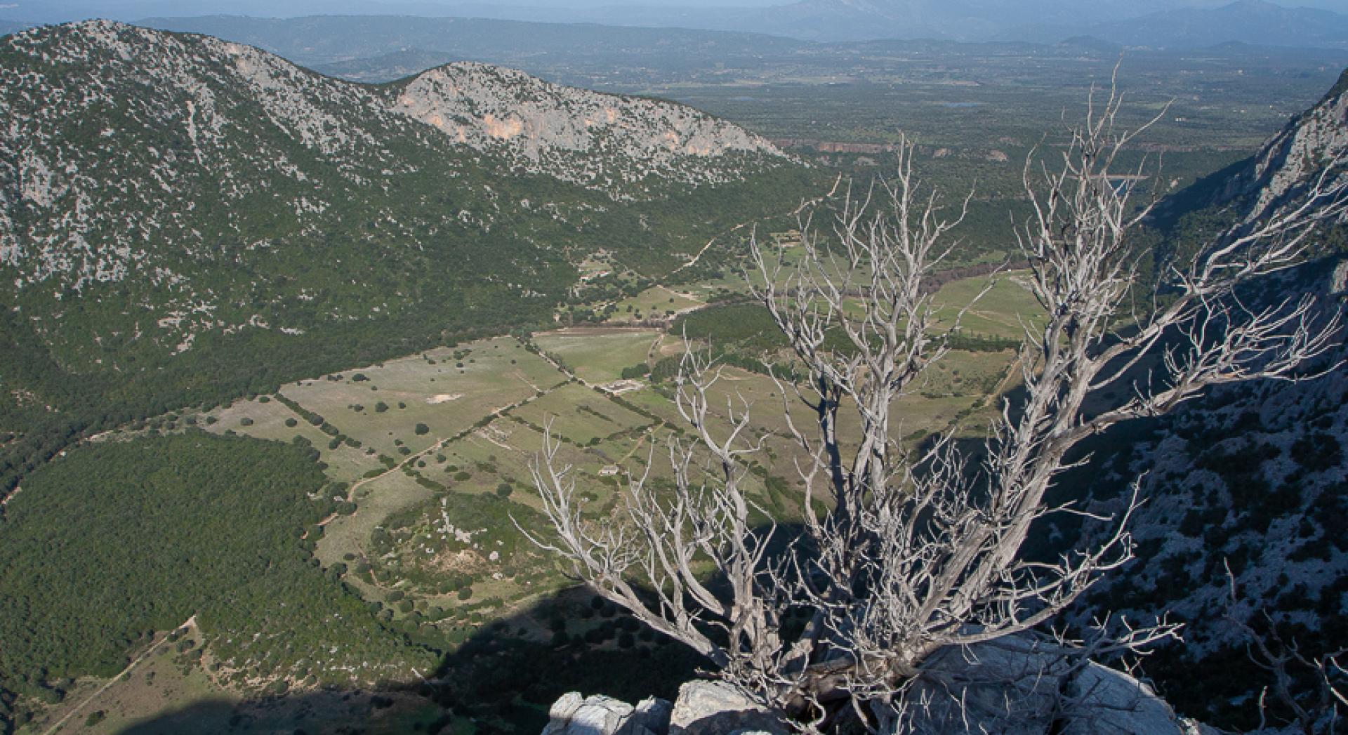
From the sheepfold, head west, ascending via a shallow stream channel through limestone pavements. As the slope becomes gentler, you will pass through large clearings framed by junipers, with a beautiful view of the mountains around Oliena and the Oddoene valley. Here you will meet the fork with Trail 487A.
After the fork, continue on a steep ascent, aiming for the Punta Gutturgios ridge, which you will reach via limestone pavements, keeping the plateau of the same name to your right. The area offers great views. Continue along the ridge, first on a level course and then downhill, on large limestone slabs in a northerly direction.
You will now move to the left of the ridge, which rises markedly in the area known as Costas d’Ossu. You will walk below it in a wide stream channel on gravel terrain. Continue to go down towards the Orudé area, until you reach a wide col covered in junipers. There, you will cross Trail 486C, which would quickly take you to the Mudrecarvu sheepfold. From here, take a clearly visible channel heading north, down up to the stream bank (Warning: the ford cannot be crossed when the stream is swollen!)
Trail data and altimetry
Photogallery
Download trail documentation
Opinions
No reviews yet for this path


