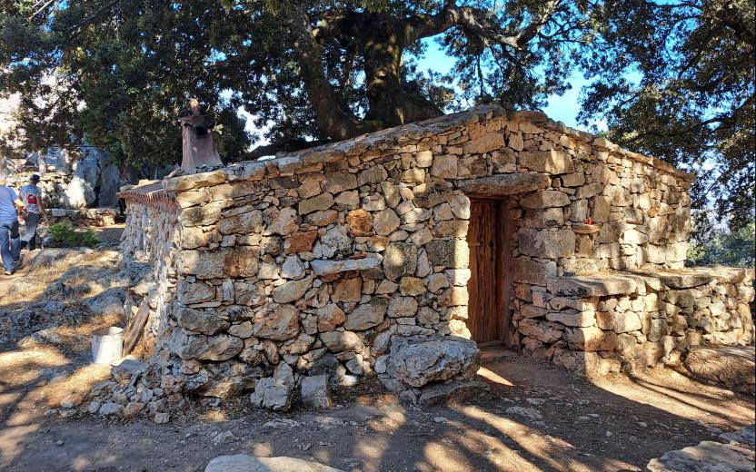
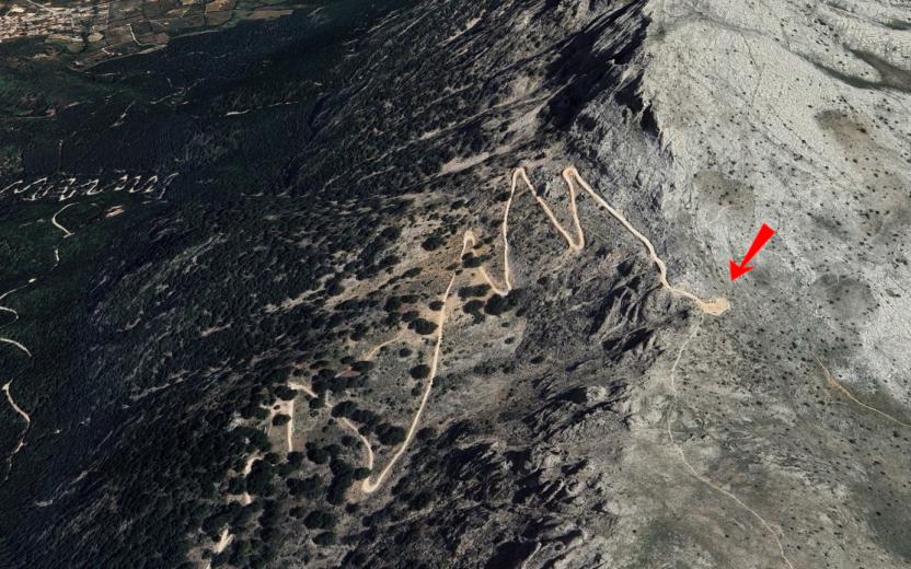
Sa Podda (Junction 406-401) Usefull informations Route location Sa Podda (Oliena) Geographical area Supramontes Route type trekking - waypoint The point of interest This junction point between the B-401 (Corrasi) and B-406 (Gologone) trails is panoramic and crosses the holm oak undergrowth. Show more Show less Photogallery Sa Podda (crocevia 401-406).jpg POI map Expand map Minimize fullscreen map Skip map and go the next section See on interactive map Related Points of interest Skip POI slider and jump to the next section Points of interest Su Punteddu (Junction 401-401A) Route location Su Punteddu Points of interest Maccione Route location Monte Maccione Points of interest Oliena (Su Carmene) Route location Su Carmene Points of interest Mounts Hinele (Oliena town center, 440 meters above sea level) Route location Monti Hinele Points of interest Tuones Route location Tuones (1025 m) Points of interest Daddana – Starting Point B-404 Points of interest Scala 'e Pradu - Starting Point B-405 Precedente Successiva Editorial informations Updated on 15/04/2025 - 09:08 Created on 05/08/2022 - 11:26
Points of interest Mounts Hinele (Oliena town center, 440 meters above sea level) Route location Monti Hinele