Punta la Marmora – Ruinas archeological area (Sentiero Italia) (T-741)

The pathway
Roadbook
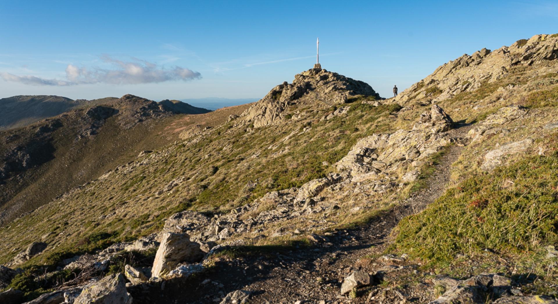
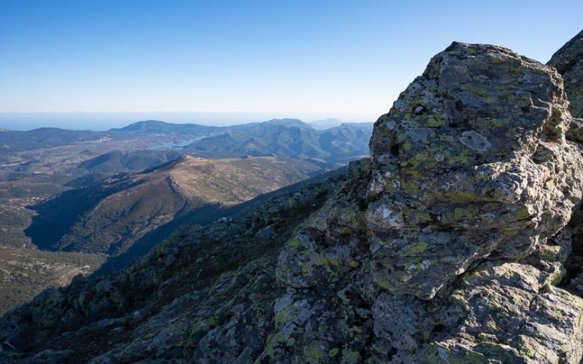
The start point is at the large iron cross at Punta La Marmora, which can be reached along the Sentiero Italia (Grand Italian Trail) via Trail 702, or via other routes on the mountain, such as the ‘Sentiero Frassati’ created by the CAI and which also includes this route. Head south, keeping slightly to the right of the ridge on a clearly visible path that goes around some shale outcrops. The view is magnificent and covers a large portion of Western Sardinia. Return to the ridge for a few dozen metres, then turn right at a poorly visible fork. You are now facing south-west, towards the wide Arcu Sa Turzi pass, which you must reach.
The path begins to descend with steep hairpin bends and, at times, straight down the slope. The descent eases at the rounded ridge of Arcu Sa Turzi, where you will also find trail 722, which heads towards the Girgini area. To the west, the view is blocked by the rounded mass of Bruncu Allasu, while to the left you can see the Riu ’e s’Accu valley, towards which you must head downhill.
From the pass, turn left, cutting across the slope and quickly descending until you reach the valley floor near a spring, after which the path continues on a level course flanking the stream. The area is home to mouflon, sometimes in large herds. Continue keeping initially to the left of the stream, then to the right once it becomes covered by a dense and scenic gallery of alder trees. The valley is enchanting, nestled between two wide mountain ridges that create an intimate and secluded atmosphere.
After passing a small confluence on the right, you will reach a dirt track leading to a picnic area, now wrecked by wild boar, and a sheepfold, both on the left. Continue along the dirt track, reaching a fork in the road from which the Ruinas nuraghe is clearly visible at a slightly lower elevation, and, in the background, the silhouette of Perda Liana and the rock walls of Montarbu. A short downhill stroll will take you to the archaeological site, which features, in addition to the Nuragic tower, the remains of a large protohistoric stone hut village and other huts dating back to the early Middle Ages. Here the trail ends, while the Sentiero Italia continues to the Terraona locality.
Trail data and altimetry
Photogallery
Download trail documentation
Opinions
No reviews yet for this path


