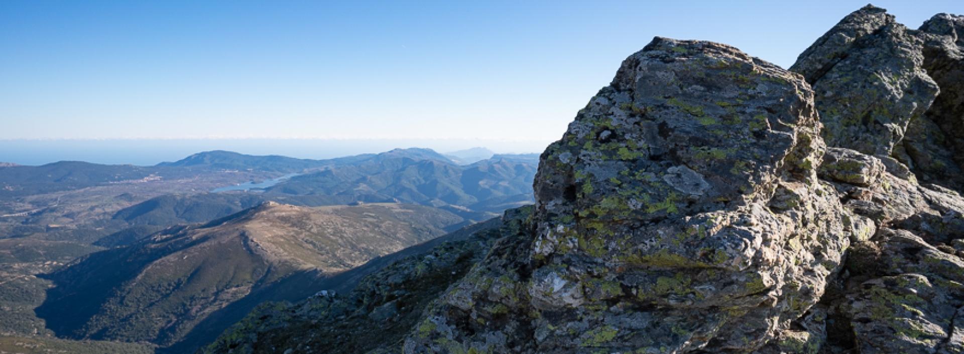
Stazione Bruncu Spina – Punta La Marmora (Sentiero Italia) T-702

Image credits foto concessa
The pathway
Roadbook
The trail leaves the asphalted area heading south-east, crossing a stream channel clothed with alder trees then starts to climb, reaching some rocky outcrops leading to the steep ridges that descend from the mountain. The ascent, which is very gradual, is through garrigue vegetation, rich in endemic species. A fenced spring is a good place to stop for a break; next, the route continues in an open landscape, with beautiful views of the Bau Muggeris Lake and the Ogliastra district. You will pass the remains of a fence that heads uphill. At the summit of your ascent, you will come to an area of small rocks, and will continue slightly downhill in the direction of Arcu Gennargentu.
You will reach the wide Arcu Gennargentu pass, which also has the intersection with Trail 721. Continue in the same direction, with even wider views of Ogliastra and the peak of Punta su Sciusciu on the right. The climb is sharp; the track makes a few wide bends and passes a spring at the highest elevation in Sardinia. Cross the slope covered in granite scree, quickly ascending and walking past the rounded side of Punta Su Sciuscu, always keeping it to your right, until you reach the summit ridge.
From the ridge, the expansive view includes much of Sardinia and, on clear days, reaches as far as Corsica. You can clearly make out the reliefs of Montiferru, Arcuentu, Linas and the Gulf of Oristano to the west, Barbagia and Supramonte to the east, Ogliastra to the southeast and the flattened outline of the Giara tableland to the south, beyond which you can also glimpse the Campidano plain as far as Cagliari. Continue in the direction of the large metal cross that marks the highest point on the island. The path now ascends very gently, soon taking you to the beautiful cross.
Trail data and altimetry
Photogallery
Download trail documentation
Opinions
Reviews
nugoresu
Un sentiero splendido, finalmente ben segnato! Complimenti all'agenzia regionale Forestas e al Comune di Fonni


