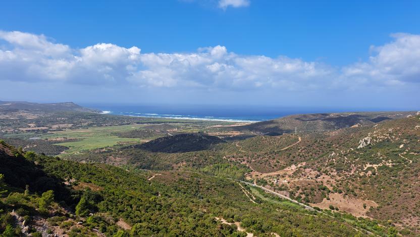
S. Giovanni Mine - Gonnesa (D-511)
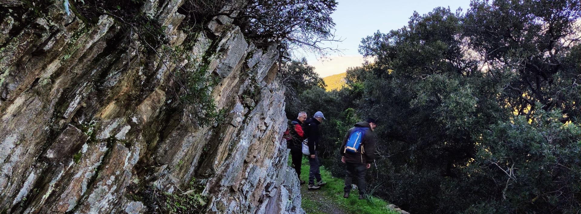
The pathway
Useful informations
Roadbook
The trail starts south-west of the gravel-surfaced area where you can park you car, and follows a narrow path through the old gravel dumps, now colonised by a pine tree forest in the first part and an oak forest in the following stretch, walking west. The walk is cool and pleasant and runs parallel and above State road SS 126, which leads to Calasetta. After 610 m you will reach the Laveria Vecchia (old ore processing plant). Here, you can leave the main route by taking the 513/A variant (from Laveria Vecchia to Funtana Coperta) or Trail 514 (from minecart track 120 Laveria Vecchia to Is Guardianus).
WARNING: As there are many intersecting trails and variants, pay attention to the route markings and the trail numbers.
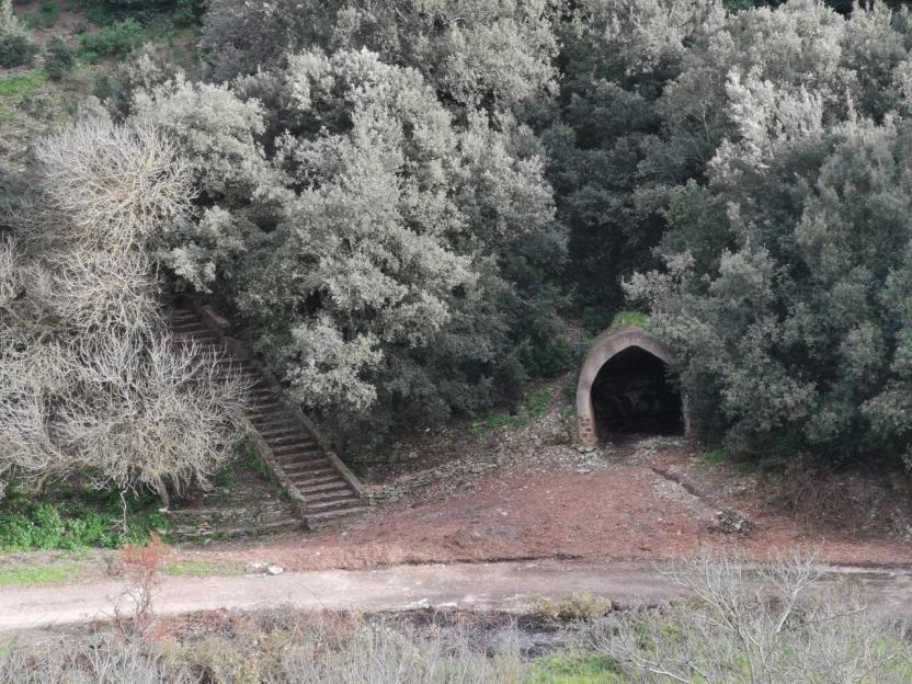
Continuing on Trail 511, take another minecart track heading west which skirts the mountain at an average elevation of 120 m asl: it is an easy but very beautiful section, because it alternates between stretches of forest and wide panoramic views, which fascinate the hiker, getting even better as you gain elevation. After 750 m, you will reach a small, shaded clearing, a few metres above the springs-drinking troughs where the animals towing the carts laden with ore on the decauville tracks used to rest and feed. Here, the trail intersects in both directions with Trail 515 (from the old Cantoniera (railway service building) no. 49 to Villaggio Normann, with an intermediate stop point at the Normann springs), which in one direction leads to the nearby Normann village, in the other leads back to Bindua and the San Giovanni Miniera village.
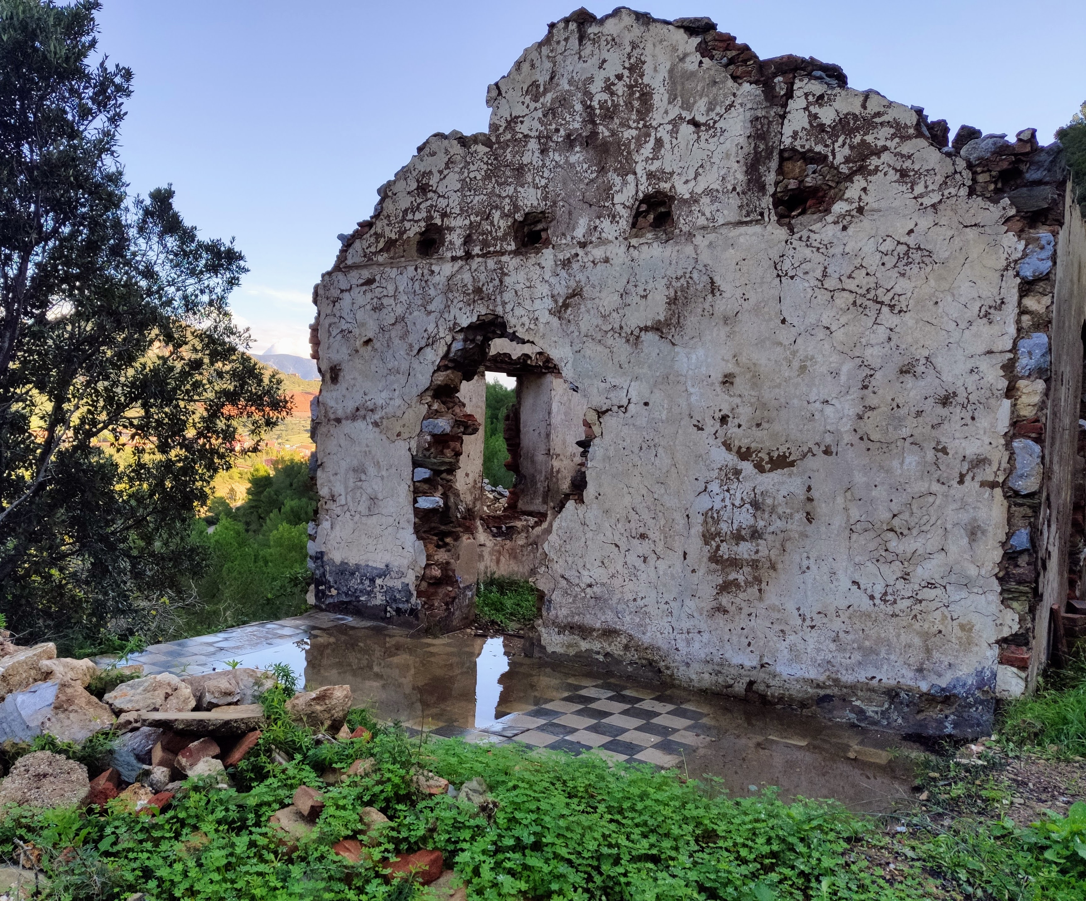
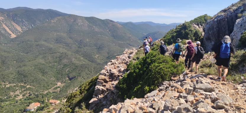
Trail 511 continues west, overlooking the sea. After passing the ruins of a small water purification plant, continue on a small track and then on a mining road that goes uphill to the Belvedere di Normann, a perfect place for taking a break and enjoying another view of the Golfo del Leone. Next, you will start the actual ascent up the limestone (and at times particularly exposed) slope of Monte San Giovanni, with difficulty level EE = Expert Hiker. The first stretch through the wood soon gives way to increasingly wide and enchanting panoramic views, with several rest points.
There are 150 m of elevation gain in just 400 m of path: so expect a moderate challenge if you are not used to walking uphill. Along this stretch, you will come across the ruins of ropeway conveyors, mine adits and impressive limestone cliffs.
WARNING: In this section, we recommend you never leave the marked path or venture into the mines, to avoid the hazards found in mining areas.
Almost at the end of the upward path, you will reach an old decauville minecart track resting on an imposing drystone, retaining wall, a testimony to the miners’ hard work and skill: this is minecart track 330, which can be visited by taking the 511/A variant (which connects Trails 511 and 512 on an old decauville track). Continuing uphill, staying on Trail 511, you will enter a wide drainage basin that leads to the is Ollastus pass at an elevation of 378 m asl, where you can continue towards Gonnesa or deviate onto the 512/B variant (which connects Trails 511 and 512).
Continuing uphill in a westerly direction, you will see the imposing and fascinating open pits on Punta la Torre, at an elevation of 424 m. This spot commands a magnificent all-round view that includes the sea of the south-western coast of Sardinia and its islands. Suddenly, you will also see from above the small town of Gonnesa, which you will reach by walking down a mining road which is steep but very scenic.
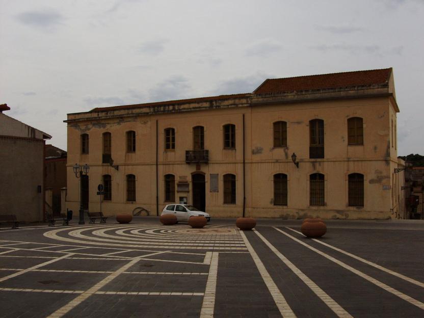
At an elevation of 143 m you will find the telecom station. From here, you can take the 513/B variant, which joins Trails 511 and 513 at Ortu Coccu, passing by the entrance to the old Howard tunnel, which is now blocked. Continuing on Trail 511 for a further 1650 m, go downhill to the village of Gonnesa. The trail end point is at the sports field.
Trail data and altimetry
Photogallery
Download trail documentation
Opinions
No reviews yet for this path


