From Normann to Gonnesa (D-512)

The pathway
Useful informations
Roadbook
The route starts from the fascinating Normann Village, which was once home to the overseers and managers of the San Giovanni mine. Walking by the back of the old company shop-club, pass the chain and walk a short distance to the intersection with Trail 514, where you can visit the ruins of the old stables of draft horses and mules, which served as ‘four-legged locomotives’ until the mid-20th century.
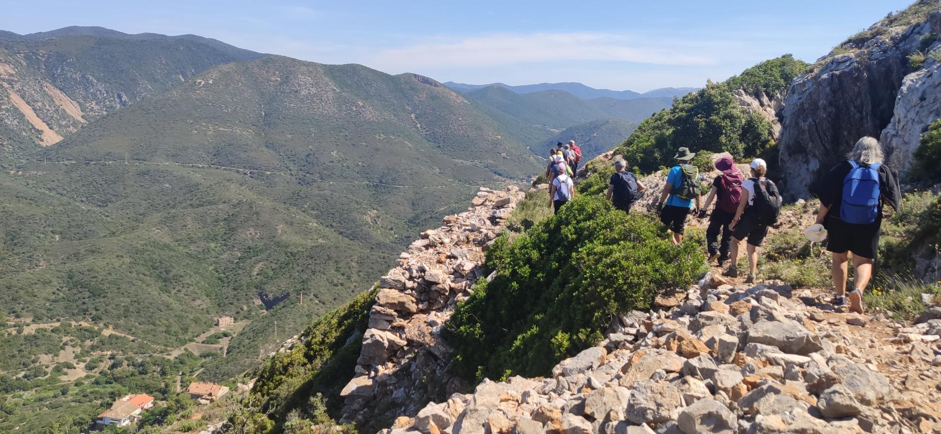
Continuing along the original route, turn right to take a short climb shaded by the forest that will lead you to the carreggio (minecart track) at an elevation of 190 m asl. Follow the track for a few dozen metres in a south-westerly direction, until you reach a fork that climbs sharply up Monte San Giovanni: here begins an ascent through the forest of holm oaks and strawberry trees that then opens out onto the limestone cliffs, rich in evidence of centuries-old activity: tunnels, cisterns, artefacts for water supply and ore transport.
The landscape now sweeps over the surrounding valley and the nearby mines of Monte Agruxiau and Monteponi. On the horizon, you will see the outline of the Marganai and Linas mountains. The trail continues along the rock face while never becoming particularly exposed - the gradients are mitigated by a series of bends that lead up to 330 m asl, where you can close the hike making a loop via variant 511/A, which connects to Trail 511, from which you can either go back down to Normann, or (still remaining on Trail 511) continue towards Punta la Torre.
Continue on Trail 512, heading west uphill along the old mining fence, until you reach the Is Ollastus plateau, where the traces of past mining activity are even more marked. It gives one pause to realise that every day the miners had to trudge on these steep mule tracks before and after a hard day's work in the mines. Over time, the tracks and ropeway conveyors for the above-ground transport of ore were replaced by the underground structures consisting of winzes, shafts and loading points, where the excavated ore was dumped so that it could be collected directly at the level of the haualgeways for transport to the above-ground ore processing plants. If you wish to climb up to punta Is Ollastus [NOTE: along a route that is not part of the Network] you will see, in addition to a splendid all-round panoramic view, an inverted cone-shaped excavation, originally an open-pit mine and later converted into an ore unloading shaft.
Continuing on, the route circles the peak following the contour line in a westerly direction and looking over the plateau of Monte San Giovanni, a wide landscape of Mediterranean scrub degraded by human activities and, in the distance, the blue sea of Sulcis with its islands. You have now reached the Is Ollastus plateau where the short Is Ollastus variant (512/B) connects to Trail 511. Continue instead on Trail 512 on a series of old mining tracks towards Is Guardianus. As always, but more so in this area, it is important to follow the signs by checking that the number on the signs and route markings is that of your trail, because the thematic trail network often intersects with other trails and branches off into numerous marked and unmarked variants and options.
Having reached the is Guardianus pass, you will intersect the end of Trail 514. Continue downstream until you reach the Seddas Moddizzis village, also known as Villaggio Asproni (after the mining engineer who founded and directed it until his death). Leave the village heading east: you are now in the heart of Sa Seddas de is fossas (literally, ‘the plateau of pits’). This area was known at least since the Middle Ages, but almost certainly exploited even earlier, for its rich deposits of silver-bearing galena, which was extracted precisely through the ‘pits’. These were ancient, more or less superficial mines that followed the mineral seam with very rudimentary extraction methods.
WARNING: Since the area is dotted with these pits, we recommend you stay on the marked trails.
As you walk along the track, you will notice a striking building emerging from the vegetation: it looks like a medieval castle, complete with battlements and a round tower. Actually, it is a beautiful mine shaft headframe, built in the second half of the 19th century in this particular architectural style. Its mining name is Pozzo Santa Barbara, but it is commonly known as ‘Sa macchina beccia’ (the old machine, referring to the hoisting system powered by a steam engine) or also ‘Castello di San Giorgio’ (from the name of the locality and the mine it was connected to). The place is certainly worth a visit. The landscape shows the signs, for better or for worse, of the intense human activity that has marked this mountain for centuries.
The route continues on an easy dirt road for 5 km to the abandoned village of Monte Onixeddu, a fascinating ghost village now overgrown by vegetation which over the years has reclaimed the spaces once taken over by humans. The road continues downhill to the village of Gonnesa, reaching it after a further 2 km.
Trail data and altimetry
Photogallery
Download trail documentation
Opinions
No reviews yet for this path


