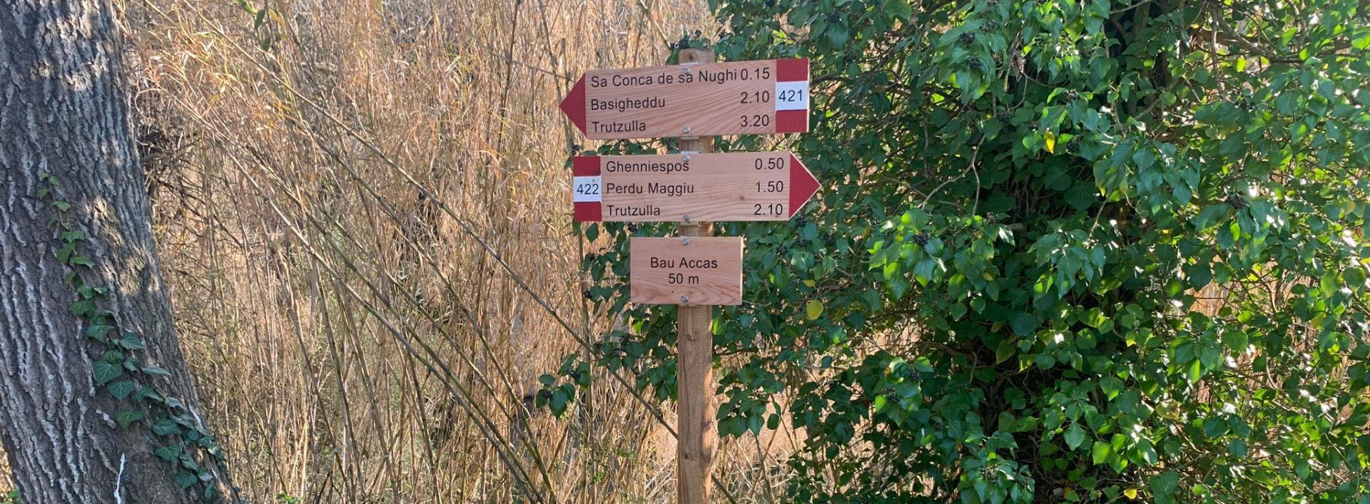
Truzzulla-Perdu Maggiu-Bau Accas (T-422)

The pathway
Useful informations
Roadbook
Taking the route from the village to the fire lookout point, this path starts from the village, at the tree house in the Bau Accas locality.
After 2.19 km the trail reaches the Perda Bianca locality (in the last part of this stretch, the slope becomes significantly steeper).
After a further 1.2 km, you will get to Ghenniespos.
A stretch of a further 2.7 km leads to the Perdu Maggiu locality; the fire lookout point is now less than one km away.
The route reaches the panoramic location of Trutzulla (or Trazzulla), from where you can walk back down to the village on trail 421 (however, this is about 4 km longer than retracing your steps back).
Trail data and altimetry
Download trail documentation
Opinions
Reviews
olbiesu
Bello, lungo ma panoramico, fatto in anello con il T 422. Bella anche la casa sull'albero e la vedetta panoramica dell'Agenzia Forestas


