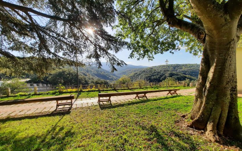
Sa Fraigada - Su Corriadore SS 128 Bis (G 504 )

Image credits Fo.re.S.T.A.S.
The pathway
Useful informations
Roadbook
The G 504 trail starts from the Sa Fraigada locality in the countryside of the Municipality of Bultei. From the gate of the mountain colony, it leaves the asphalt road to take the uphill dirt road in direction of Monte Mesanu/Su Tassu. The road proceeds uphill for about 600 m to reach the patch of Pavari larch pines after which, after a further 400 m, it reaches the equipped area of Su Tassu.
From Su Tassu the trail continues eastwards and crosses a gate after 1 km on the asphalt road near the lake. After passing the asphalt road, the path passes the S.P. 161 after 500 m and then continues parallel to the firebreak in a northerly direction for about 400 m, after which it turns left to begin the descent that leads to Funtana Sa Rena and the Su Nodu Longu area to exit in S'Elighentosa the Fiorentini forest perimeter.
After leaving the perimeter of the state forest, the trail enters the territory of the Municipal of Pattada and proceedes keeping the watercourse on the right for about 1.4 km. Then, in locality Sa Raighina, begins to climb and after 700 meters leads to the S.P. 161 to continue then in the direction of Pattada; after about 250 m it reaches a gate (on the right side) marked with some arrows. After about a kilometer, having reached an altitude of 936 metres, the trial leads to a panoramic point and after 180 meters there are the signs for the nuraghe Donnigheddu. At this point the trail brings back to the route of the G 504 trail and after about 290 meters comes across the branch for the G 504 A trail which leads to the panoramic point of Su Corriadore.
Continuing for about 400 meters, the trail intersects on the right the G 504 C trail which leads to the interesting site of hollow rocks called Concas Boidas. Continuing east for 850 m it comes across the branch for the G 504 B trail which returns towards Su Corriadore where is located the "Dancing Rock". After a further 200 meters the trail enters the area where there are large cork trees that is possible to explore through the G 504 D trail to rejoins then the main trail in the Sa dispensa area. The trail continues downhill for 650 m to turn then right in the direction of Funtana and Ospe following downhill the main road until reaching after 4.3 km the arrival point located along the state road 128 Bis.
Trail data and altimetry
Photogallery
Download trail documentation
Opinions
No reviews yet for this path


