Ghenna e Peta - Cala Luna (B-181)

The pathway
Useful informations
Roadbook
The new route of Trail 181 starts from the Ghenna ’e Peta locality, exactly at km 187 on State road SS 125 (not far from the Genna Silana pass, a few minutes’ drive, precisely 3.9 km further south along the same state road) and after about 1 km reaches the Gosollei locality where you will find a Forestas station.
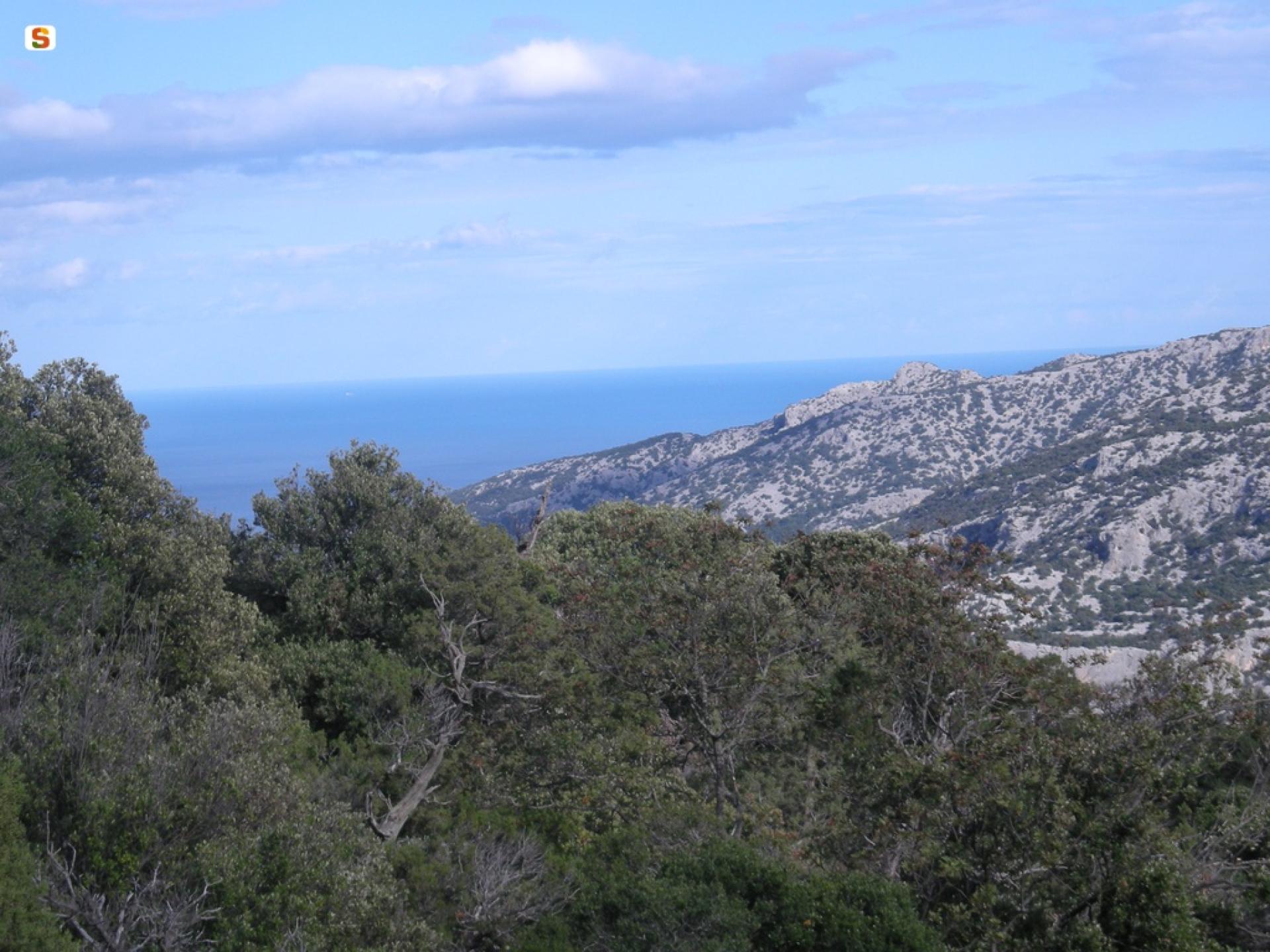
The trail continues progressively downhill through holm oak woods and Mediterranean scrub to arrive at the Teletotes locality where the trail continues for about 8 km on the true right side of the canyon. At Teletotes, you will cross Trail B-183, which connects the Urzulei trail network with that of Baunei.
The route continues through stretches of forest with a prevalence of holm oak, ash, flowering ash and other plants typical of the Mediterranean maquis, including myrtle, mastic tree, strawberry tree, phillyrea (mock privet), viburnum and beautiful junipers. It winds along the bed of the ‘Codula de Luna’ stream, a fascinating canyon formed by the erosion of an ancient stream that flowed from the mountain towards the sea, ending at the beach of Cala Luna.
Along the canyon you will walk amidst steep limestone slopes rich in vegetation and interspersed with characteristic rock pinnacles, arches and inaccessible caves. The trail terrain includes pebbles and smooth white boulders, making your hike varied and challenging until you reach the enchanting beach of Cala Luna, with its characteristic caves and crystal-clear sea.
Trail data and altimetry
Photogallery
Opinions
No reviews yet for this path


