ABOUT THE TERRITORY
The current trail network in Ogliastra extends for about 440 km. In the area of Ogliastra covered by the Gennargentu massif (Gennargentu ogliastrino), in the municipal territories of Villagrande and Talana, the trails have a total length of around 70 km. In particular, in the municipality of Talana, the trails have a length of 45 km.
Starting from the southernmost locality characterised by the Bruncu Olinie peak, some of the trails in this area head north, passing by the peaks of Bruncu Tartari and Bruncu Pisucerbu and reaching the border with the Orgosolo territory, while others head east, descending towards the coastal area where they reach the Munduge locality, near the border with Baunei.
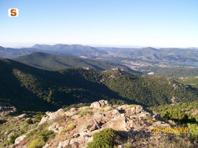
The trails heading north pass through pastureland, with shrubs (cistus, heather, strawberry tree) and grass species, while at higher elevations there you will also find thyme, helichrysum and many other more or less rare species typical of the Gennargentu mountains.
Descending east towards the coast, the trails pass through remnants of pine and holm-oak forests as well as one of the most extensive natural growths of Etna broom in Sardinia.
The area is home to varied wildlife, including mouflon, marten, wild cat, fox, wild boar and birds such as jay, woodpigeon. The more inaccessible areas are inhabited by the golden eagle as well as other birds of prey such as the buzzard and the peregrine falcon.
To the north, the area is overlooked by two main mountain peaks: Bruncu Olinie (1368 m asl), which dominates coastal Ogliastra to the south and east and faces the Gennargentu peaks to the west, and Bruncu Pisucerbu (1348 m asl), which looks north towards the Supramonte of Urzulei and Orgosolo.
The eastern slope is made very attractive by the distinctive granite morphology and the presence of canyons and waterfalls, such as the Su Niu ’e su Puggione waterfall, in the Sorberine area. As you head back down towards the valley, the route, passing along the ridge that divides the two valleys of Baccu sa Figu and Rio Troccosolai, is characterised not only by the very nice views it affords, but also by the long steps, made of juniper wood and red granite.
At the eastern end of this area, the main destination is Paule Munduge – named after the seasonal swamp (‘Paule’). The area is characterised by granite outcrops sculpted by wind erosion to form the characteristic tafoni (cavities).
Historically these mountain areas have mainly supported a pastoral economy. Forest exploitation was also carried out, mainly for the purpose of charcoal production, as shown by the traces left by charcoal burners, mainly dating back to the 19th century, such as the many charcoal terraces, mule tracks, paths and various charcoal storage buildings. Today, pastoral activity is still alive, while forest management is mostly focused on conservation.
The trail network consists of paths classified as hiking trails (difficulty E = Hiker - intermediate) interconnected with the inland and coastal Supramontes and to the south with the territory of Villagrande.


