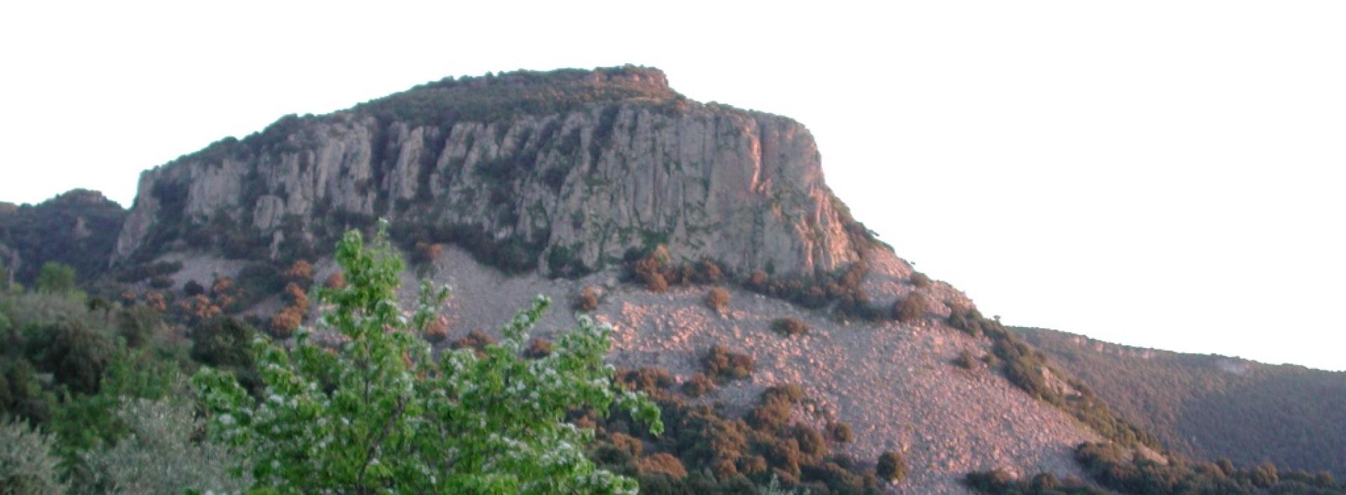
Cale Quaddu- Santa Barbara (Perdasdefogu) (C-500)

Image credits Sardegna Digital Library
The pathway
Useful informations
Roadbook
The trail begins in the countryside of Jerzu in the Cale Quaddu locality at the intersection with Trail C 510, and follows a dirt track parallel to the Provincial road SP 13 for about 4 km until it reaches the site of the Ulassai wind farm in the Larenzu locality, in the countryside of Ulassai, in front of the Monument to the Wind by Maria Lai. Leaving the monument on the left, continue along a dirt road, more or less parallel to SP 13, which goes through the wind farm, until, after 1.8 km, you will reach the Monte Codi locality, recognisable for the radar on top of the hill of the same name, at the intersection with Trail C204.
Following one of the service tracks of the Ulassai wind farm, after about 530 m, you will come to some service structures of the wind farm itself. Turn south-east uphill to return to the Provincial road SP 13, follow it for about 500 m along the shoulder, while paying close attention to cars, then return to the wind farm area and continue past the gate on the service track for 600 m. From here, take a cart track for about 170 m to reach a fence that marks the administrative boundary between Ulassai and Perdasdefogu in the Congiadori locality. After passing the fence via a ladder, continue along the cart track heading downhill until you meet road SP 13 again. Follow it for about 70 m, then take an uphill path to an elevation of 700 m. The trail then turns downhill heading west until it joins a track that continues on level ground for about 1,300 m in the TaccuMogolairi locality. From here, the track drops slightly and then ascends again in south-west direction.
When you reach the Taccu locality, follow a track heading north-west along a fence to the Juanne Puddu locality, where you will come to a livestock wire gate that you must close behind you. The route continues along a dirt road, heading west. After about 550 m you will come to an archaeological site on the right with the ruins of a nuraghe and a sacred well, called Su Nuraxi de Juanne Puddu.
Continue along the dirt road to the crossroads at the Cominatrinta locality. From here, turn north and take the tarmac road in north-west direction, walking along it for about 260 m, then turn left and follow a forest track also in north-west direction. Continue along the track for about 500 m, skirting the fence of the Bruncu Santoru Park. When you reach the park’s service facilities, continue southwards on a tarmac road until you reach the Santa Barbara park of Perdasdefogu.
Trail data and altimetry
Download trail documentation
Opinions
No reviews yet for this path


