Riu Cannisoni - Genna Su Padenti (Togoro) D-101

The pathway
Useful informations
Roadbook
The trail starts near the bank of the Riu Cannisoni stream, near the junction with Trail 112. You will walk on a wide, well-marked mule track that soon leads to crossing the stream over a small wooden bridge, then continue on the right, parallel to the course of the stream. The trail continues on level ground, under scattered holm oaks, until it reaches the Fonte s’Acqua Frischedda spring, now entirely underground.
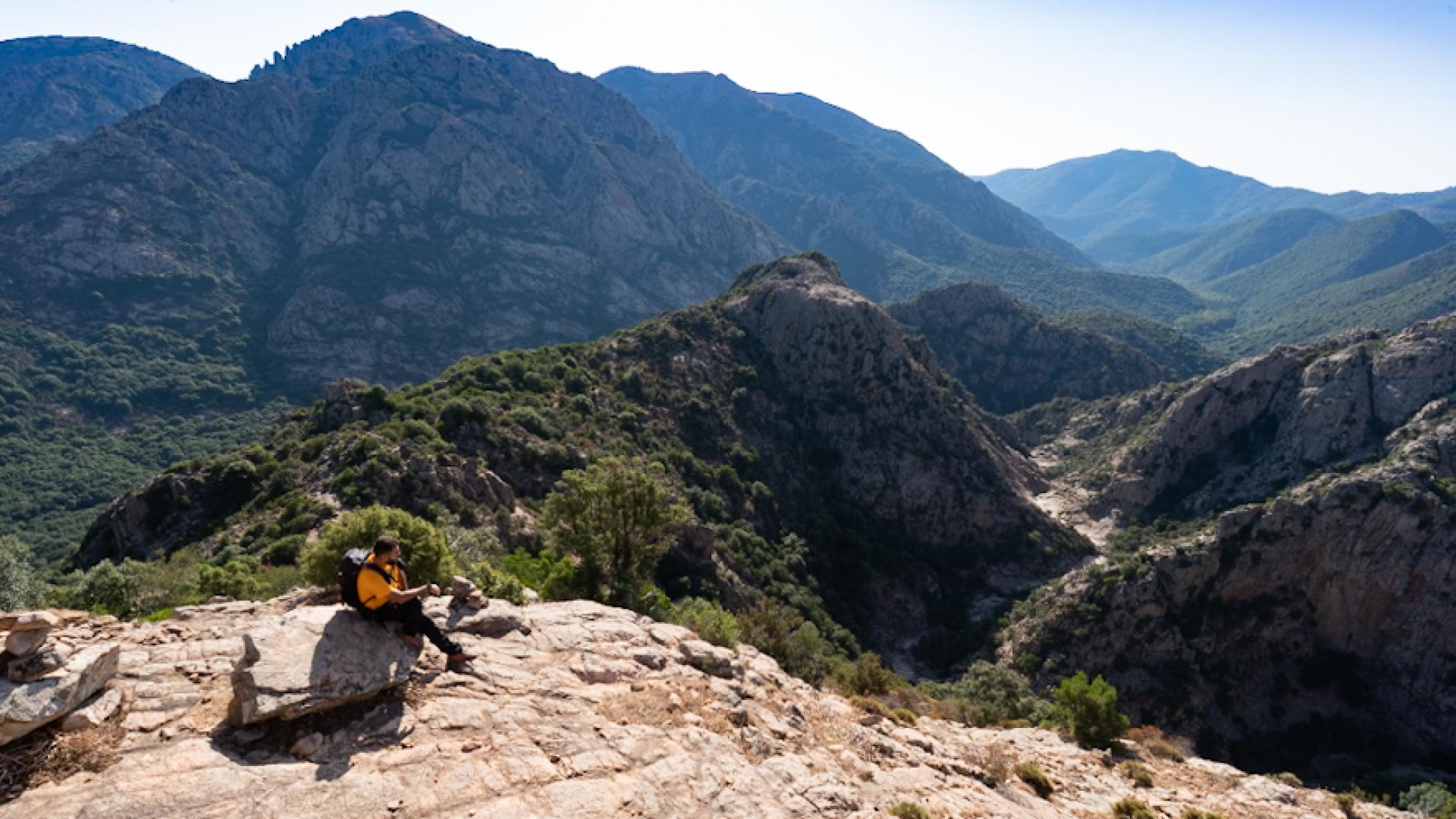
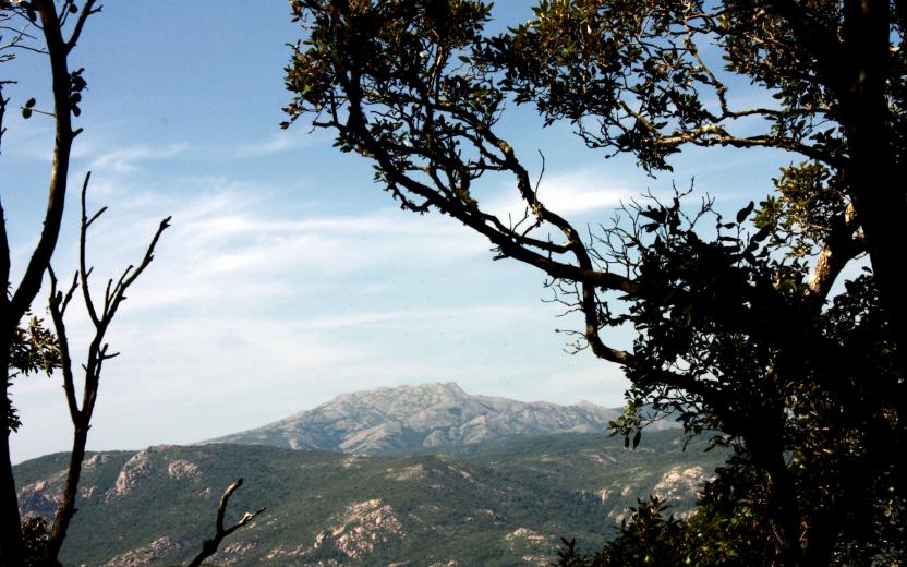
From the spring, turn left, on a steeply uphill mule track that rapidly gains elevation with wide bends. The path is often rutted by water and the passage of motorcycles. Through a few openings in the vegetation, you will enjoy wonderful views of the valley you have just crossed and of the wild peaks of Magusu.
Warning! Section for Experienced Hikers (EE).
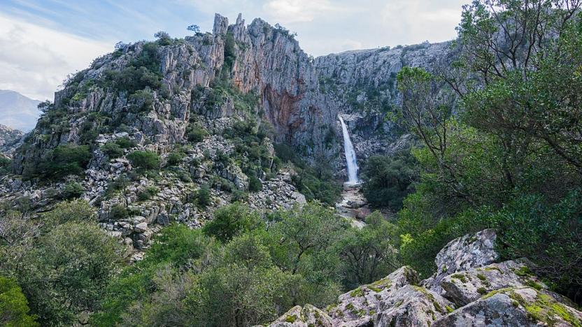
You will emerge from the wood onto a clearing in the scrub, where a poorly marked trail heads right, while to the left a difficult trail (113) leads down to the banks of the Rio Oridda. Take the right path, heading uphill through open rocky terrain, slippery when wet or damp. As you ascend you will enjoy splendid views of the gorge below, formed by the Piscina Irgas waterfall along the Rio Oridda.
Slightly downhill you will come to another junction, not very visible, with Trail 113 leading to the waterfall. Continue on the right, still descending gradually. You will soon join a dirt road near the upper course of the Rio Oridda, where large areas have been reforested with conifers. At the first fork, take a right, heading north.
Continue on the dirt road immersed in the reforested wood, initially on level ground and then, after leaving a further dirt road to your left, steadily uphill along a wide ridge, reaching a high and beautifully scenic area where you will continue on the main dirt road until you reach a large junction at the Genna de Muru Mannu locality. Here you will find the junction with the trail leading to the Marganai area, in the direction of Arenas, continuing to the right to Ovile Linas (sheepfold). This is a shorter alternative to the trail you are following. Instead, continue straight, heading for the thin ridge of Muru Mannu, also known as Sa Canoa.
Warning! Section for Experienced Hikers (EE)
Continue along a dry-stone wall, steeply uphill and in wild surroundings, in the direction of the rocky ridge just mentioned. Cross it where it is still not very prominent, at an elevation of 830 m, and then keep the ridge to your right, ascending steeply out of the scrubland. Keep to the ridge slightly heading downhill, then climbing back uphill for a long, extremely scenic stretch over the entire Linas massif, reaching Monte Nippis and still keeping to the ridge until you get to a clearly visible pass where, on the left, you could reach the beautiful and scenic summit of Monte Lisone (unmarked).
Turn slightly to the right leaving the ridge and descend gradually, again encountering some stretches of sparse scrubland. The trail gradually becomes an old forest track that you will follow in a steady but gradual descent. Through a reforested area you will arrive near a private building, where you will follow the main dirt road on the right, at the Riu Purdeddus locality. The dirt road reconnects with another wide forest track.
If you took the track you just encountered you would reach Ovile Linas (sheepfold) and the trails linked to it. Instead, take a left, now with no possibility of error, reaching the wide col of Genna Padenti, which is also reached by the Alta Via del Linas (high Linas route).
Trail data and altimetry
Photogallery
Download trail documentation
Opinions
No reviews yet for this path


