Piscina Irgas (D-113)

The pathway
Roadbook
Warning: section for Experienced Hikers (EE)
Leave Trail 101 and head downhill in a south-westerly direction, following a trail that meanders between rocky outcrops and scrub. Gradually turn in a north-easterly direction, entering a steep and difficult stream channel, with a thick vegetation of phillyrea trees and large myrtle bushes. The descent is difficult and the loose terrain requires caution.
Warning: section for Experienced Hikers (EE)
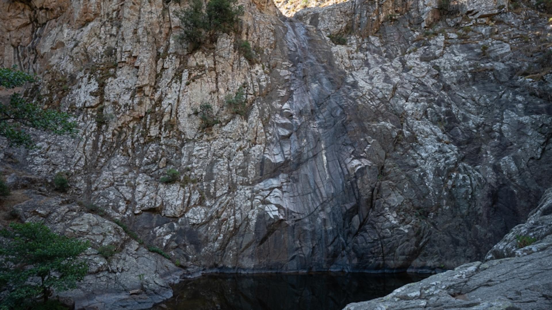
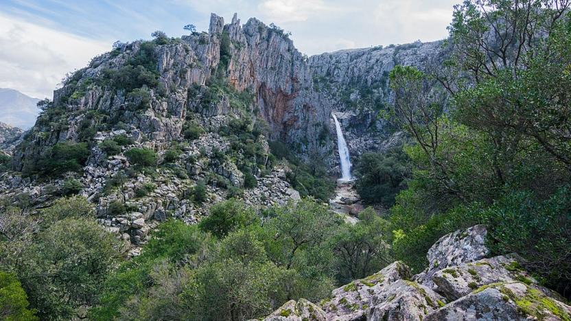
This stage follows the entire steep gully down to the floor of the Rio Oridda valley, arriving near a large rock platform. Circle it on the right, to reach the beautiful waterfall of Piscina Irgas, about 45 m high. At its base you will see a wide, dark pothole dug out by floodwaters, filled with water and forming a pond. This nature spot is wild and primeval.
Warning: section for Experienced Hikers (EE)
Continue on the left, alongside the riverbank with a difficult progression over the rocks and always keeping to the left of the stream. The trail is not very clear, but you just need to keep between the course of the stream and the vegetation on the left. The stream bends slightly to the right, making a wide “U-shaped” bend, midway through which there is a steep wooded gully rising to the left, near some elongated pools on the valley floor that widens with flat rocks smoothed by water.
Warning: section for Experienced Hikers (EE)
The trail now breaks away from the riverbank by beginning a very steep ascent on loose ground, making narrow bends between the rocks and the scrub vegetation, at times offering splendid views of the course of the Rio Oridda in the portion downstream of the waterfall. The uphill stretch is very steep but short. At its top you can connect to Trail 101.
Trail data and altimetry
Photogallery
Download trail documentation
Opinions
No reviews yet for this path


