The Alta via del Linas D-100
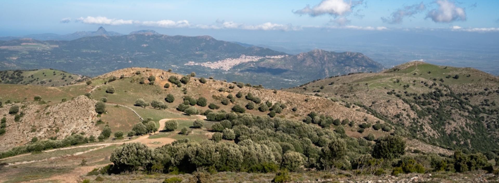
Image credits Agenzia regionale FoReSTAS
The pathway
Useful informations
Roadbook
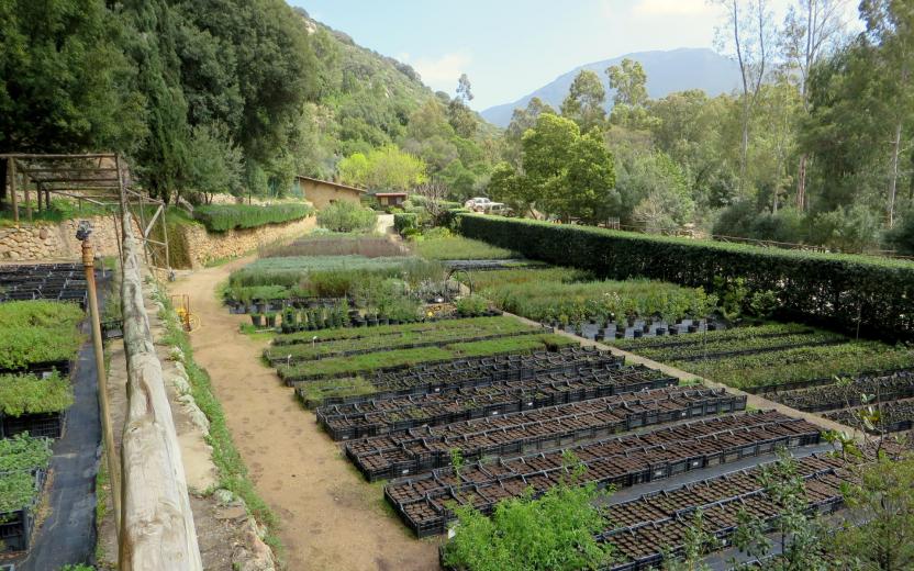
The trail starts next to the Campu ’e S’Isca forest nursery, on a dirt road that lies between the nursery and a nearby spring. The road climbs into the wood, passing another beautiful complex, a forest rangers station now managed by Forestas. Having passed the Forest station to your left, you will begin to hike uphill through sparse woodland interspersed with granite rocks.
Continue along the narrow path, which, after a first section not too easy to recognise, turns out to be a mule track once used by charcoal burners and now partially overgrown by the vegetation. The trail climbs sharply, with beautiful views of the valley below and the rocky peaks above it, crossing the Canali Acqua Piccinna and resuming the steep climb with a few bends. Once past the bends, there is a rocky clearing on the right where you can see some metal rings once used for transporting lumber.
Warning! Section for Experienced Hikers (EE)
Resume the trail by staying to the left, still following the path that travels uphill first through a holm oak wood, then through an area reforested with pine trees and finally, after leaving behind a spring (with water that drains away quickly), through a beautiful chestnut wood. The slope is steep and the trail is at times hard to follow, as it is eroded by rain runoff. Keep to your left the bank of the Acqua Piccinna Channel and continue on a steeply ascending course with small bends through the trees. You will come out of the vegetation just below Punta Sanoi.
Warning! Section for Experienced Hikers (EE)
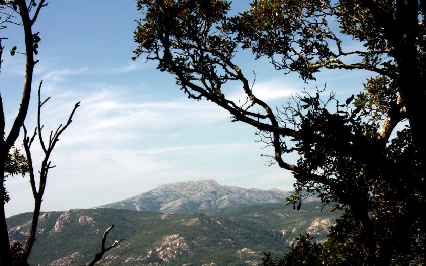
Cross to the left, aiming for the ridge above, which you will reach continuing uphill. From here on you will enjoy magnificent views throughout the route: clockwise, starting from the south, you can admire the Cixerri river valley, the peaks of Monte Arcosu, M.te Lattias and Is Caravius, the uplands of Marganai and the Fluminimaggiore area, the Arburs area, the Campidano plain and the Sette fratelli range and Sarrabus mountains. Take a left along the ridge, which in this section is wide and easy to follow through the garrigue vegetation, while to your right you can see the Rio Leni reservoir and the Biddascema area. Once the ridge narrows, keep slightly to the left, avoiding the rockier areas and reaching the Genna Sambucu pass.
Warning! Section for Experienced Hikers (EE)
Other trails (currently undergoing maintenance and signposting) also lead to this point. The trail ascends to the Magusu peak, keeping slightly to the left of the ridge line, and following a path trodden by mouflons that soon leads to the highest point of the trail to the north. Just below the peak of Genna Mudegu, now clearly visible on the left, take a right: there are two steep gullies that descend in the direction of Genna s’Ega Manna: follow the left one, descending very carefully on steep and dangerous terrain.
Warning! Section for Experienced Hikers (EE)
After the steep descent, follow again the ridge, now on the Genna s’Ega Manna pass, resuming a gradual ascent through the scrubland and then coming out to open ground to reach Cuccuru Magusu. On the right, there is a magnificent view towards the peaks of Santu Miali. Without a clear path follow the ridge line, which is always clearly visible, reaching Punta Maguseddu and continuing along the ridge line amidst breathtaking views for a long stretch.
You will now reach Punta Acqua Zinnigas while, on the right rises the imposing peak of Punta Camedda. For the first time, you will be able to see the final section of the route, consisting of the highest peaks of the Linas. Head downhill towards the Genna Eidadi pass, where other trails also meet and where there is a small building, continuing still in a northerly direction, keeping to the right of the summit of Punta Camedda, which cannot be reached by this route, and then traversing at constant elevation its western slopes. Head in the direction of the clearly visible Genn’e Impì pass, which is reached following a fairly easy to see path, then resume hiking along the ridge heading uphill.
Continue to climb through a wild mountainous environment, again with extraordinary views, reaching the summit of Punta sa Cabixedda. To the north west is the clearly visible ridge separating this peak from Perda de Sa Mesa, the highest peak in the Linas massif, which can be reached via yet more uphill and downhill stretches. At Perda de Sa Mesa there are some concrete platforms, built years ago by the Italian Air Force as helicopter landing pads for maintain a radio repeater station. The view from the top is nothing short of magnificent. Continue along the trail in a westerly direction, still following the main ridge line that separates the highest summit from that of Punta Linas. The trail moves to the left of the ridge, keeping below some rocky outcrops and rejoining the ridge line at a lower elevation. The line of peaks leads slightly to the right, reaching an old disused wire fence.
After a short climb leading to the peak of Riu Purdeddus, the trail starts descending sharply in the direction of some radio repeater structures. The descent is logical and direct and quickly leads to Genna Padenti, at a wide clearing where the route ends.
Trail data and altimetry
Photogallery
Download trail documentation
Opinions
Reviews
zspdkgibpp
Muchas gracias. ?Como puedo iniciar sesion?


