From Vallicciola to Punta Bandera (F-402)

The pathway
Useful informations
Roadbook
After parking your car in the carpark and crossing the road leading to Punta Balistreri (1,359 m asl), after a few metres you will find, to the right of the access road to the hotel and in the middle of the pine forest, a number of posts with red and white markings indicating trail 402 (formerly “route B”).
After crossing the stretch through the forest of conifers and possibly paying a brief visit to the nearby Sequoias, the trail continues through woodland and on rocky ground. After walking a little under 1 km, you will come to a junction between forest tracks: take the one on the left and continue uphill, in an easterly direction, for about 400 m.
When you reach the second junction, on the right, leave the forest track and take the trail heading North-East. After a total of about 1.7 km you will arrive at the third junction. Continue to the right, crossing a passage through a boundary fence.
Keep walking, still uphill, in the direction of Punta Giogantinu (1333 m asl), which the trail passes on the right along a small depression, after which (at an elevation of around 1300 m asl) the gentle climb ends and the trail turns slightly downhill until it reaches the small church of Madonna della Neve (1250 m asl).
After taking a short break in the square in front of the small church, before resuming trail 402 (former trail B) in a S-E direction, we suggest you make a small diversion in a northerly direction, along the access road to the small church, to enjoy the surrounding views from a viewpoint where a statue of the Virgin stands.
Back from the viewpoint, return to trail 402, which is paved with granite in this section. After walking a further 400 m from the small church, you will find a fourth junction on the right: here too you can make a short diversion, about 10 minutes, to admire the natural granite arch of Suprappare (a natural monument).
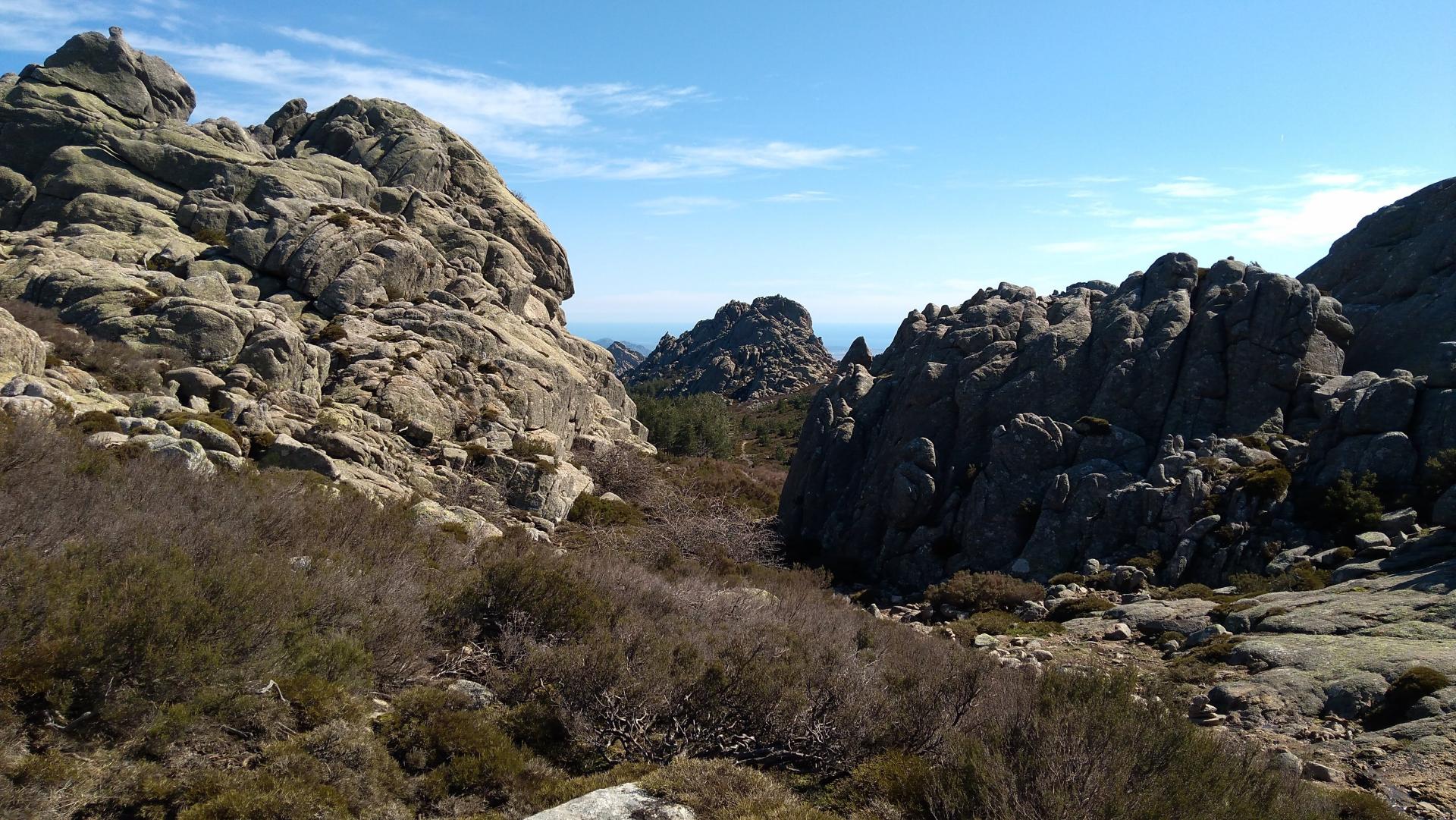
Return to trail 402 and keep walking uphill in a zig-zag pattern amidst granite boulders. After a total of 4 km you will arrive at a plateau at an elevation of 1335 m above sea level.
The route continues on the plateau for about 150 m, followed by a very scenic downhill stretch in the middle of a small valley, to the junction with trail 401 and 403. To reach Punta Band(i)era, you only have to walk a short distance along trail 403.
Trail data and altimetry
Photogallery
Download trail documentation
Opinions
No reviews yet for this path


