Is Acacias - Gutturu Farris (D-325)

The pathway
Roadbook
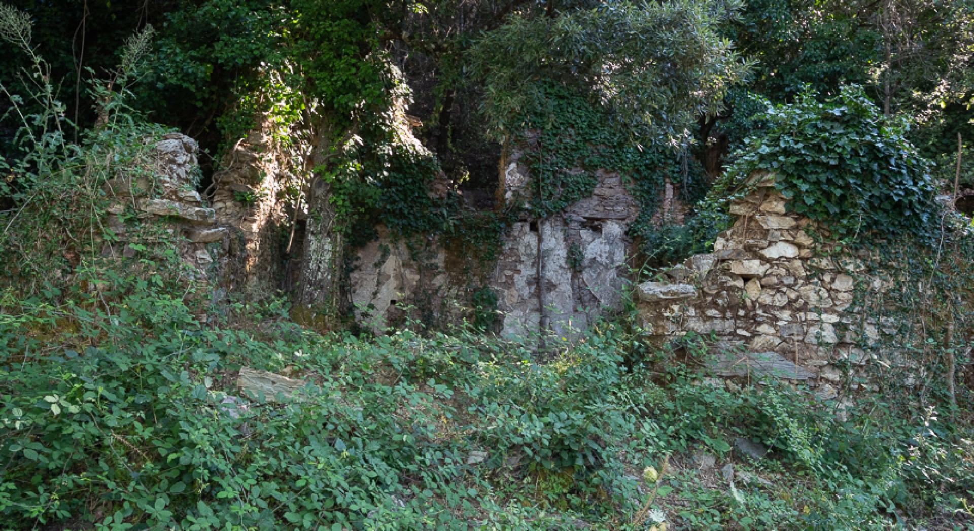
It starts from the Case Reigraxius, home to the offices and residences of the workers of the homonymous mine, whose cultivations are arranged all around the track. The area is also known as Is Acacias because of some specimens of these trees, located on what used to be the main street of the village, today consisting only of a heap of ruins. Among the destroyed buildings stands out the old stable. The start of the path is located at a fork in the path 324.
You leave the 324 behind you, passing through the ruins of some houses submerged by vegetation and leaving an old mining tunnel on the right, while on the left you come across an imposing landfill of mining materials that allows a beautiful view of the valley and the distant Linas massif. You continue a descent on a nice mule track, reaching a dirt road.
You cross the dirt road in the locality Planutzara, going down again on the other side of the road that was part of a very important mining route that connected Monteponi to the area of the Grotta di San Giovanni. You begin to descend steeply into the woods, with a small hairpin bend that allows you to reach an impluvium, at the end of which you reach the wider valley of Gutturu Farris.
Trail data and altimetry
Photogallery
Download trail documentation
Opinions
No reviews yet for this path


