Is Acacias – Antiogu 'e Pau (D-326)

The pathway
Roadbook
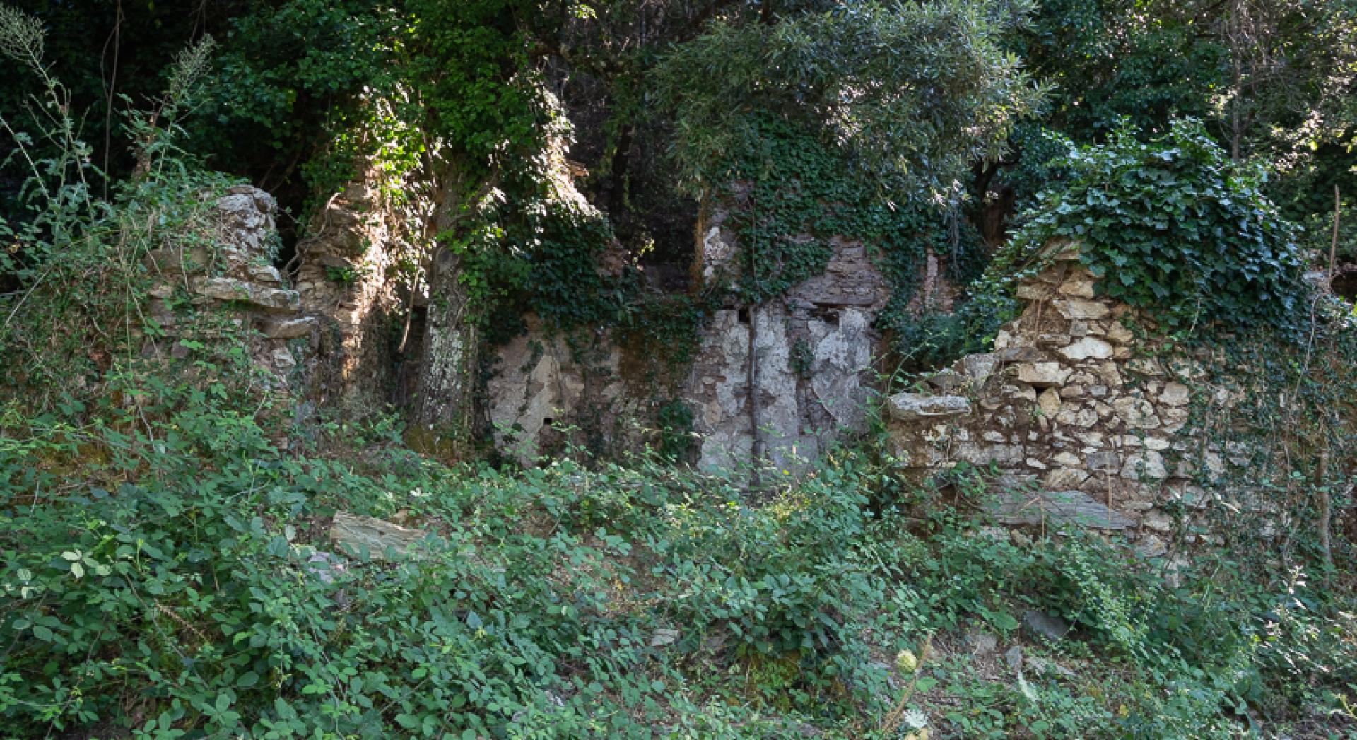
It starts from the Case Reigraxius, home to the offices and residences of the workers of the homonymous mine, whose cultivations are arranged all around the track. The area is also known as Is Acacias because of some specimens of these trees, placed on what used to be the main street of the village, today consisting only of a heap of ruins. Among the destroyed buildings stands out the old stable. The starting point of the path is located at a fork in the road with the path 324.
The mule track starts initially uphill, with the peaks of Reigraxius and that of Gruttoni Mauris clearly visible at the top right. You get through a mining operation by staying flat and then starting to descend sharply, sometimes steeply. After a first impluvium you reach a strawberry tree area, coming out of the vegetation in a clearing where you meet the junction with path 334.
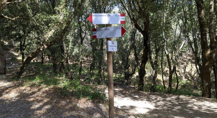
You take to descend along a wooded ridge, meeting the junction with path 326A, not very evident, then turning right downhill and reaching the bottom of the Bega Canal. Go up for a few meters on the right side of the river, passing the junction with path 324A, also not very evident, and then continue on the bottom of the impluvium on a beautiful mule track of charcoal burners until you reach the dirt road below.
Trail data and altimetry
Photogallery
Download trail documentation
Opinions
No reviews yet for this path


