West branch of 511A from 511 junction Usefull informations Geographical area Iglesiente Route type trekking - waypoint Panoramic views Services Visibilità TLC The point of interest It connects trail 511, allowing you to head towards the eastern slope of Mount S. Giovanni, reconnecting to trail 512. Show more Show less Photogallery il bivio tra 511 e 511A (carreggio 330)Alessio SabaCC- Agenzia regionale Forestas il carreggio 330 alla diramazione tra 511 e 511AAlessio SabaCC- Agenzia regionale Forestas Incrocio fra 314, 315 e 514 ldp verso Funtana CopertaAlessio SabaCC- Agenzia regionale Forestas 
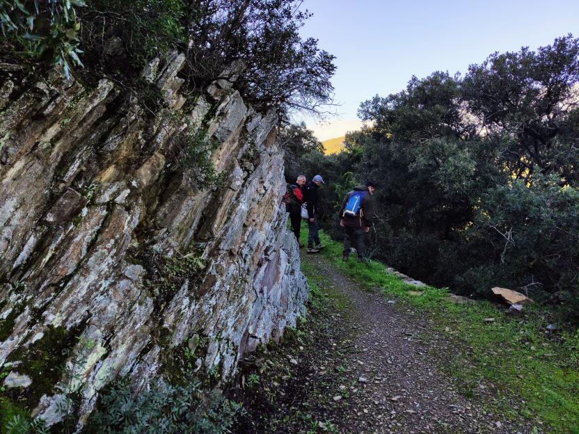
Muri a secco di sostegno al vecchio carreggio 330, sede del sentiero 511 A incrocio carreggio alto, rete Normann POI map Expand map Minimize fullscreen map Skip map and go the next section See on interactive map Related pathways Skip Pathways slider and jump to the next section Pathways S. Giovanni Mine - Gonnesa (D-511) Time lenght 2 hours 15 minutes Path lenght 6 km 500 m Pathways Panoramic variant of Carreggio 330 (D-511A) Time lenght 15 minutes Path lenght 400 m Pathways Carreggio variant 190 (D-512A) Time lenght 15 minutes Path lenght 300 m Precedente Successiva Related Points of interest Skip POI slider and jump to the next section Points of interest Branch (east) of 511A from junction 512 Guides | Managing authority | Public Administration or institution Skip Institutions slider and jump to the next section Privato/associazione O.d.V. Villaggio Normann Editorial informations Updated on 08/04/2025 - 16:54 Created on 08/04/2025 - 16:52