Donianigoro - Cuile Suderie (B 440C) 2 Validation level In revisione-validazione More infos General rating There are no opinions yet Based on 0 opinions0 Reviews - view all Trail summary Path lenght 100 m Time lenght 15 minutes Difficulty level More infos sui gradi di difficoltà Intermediate-high difficulty (E-level) Activities and warnings Pathways Activities Trekking Hiking The pathway Trail connecting Donianigoro camp to Cuile Suderie Show more Show less Trail data and altimetry 2 Validation level In revisione-validazione More infos Path lenght 100 m Time lenght 15 minutes Difficulty level More infos sui gradi di difficoltà Intermediate-high difficulty (E-level) Maximum altitude 862 metri Minimum altitude 855 metri CAI code Z-NU-B-440C Maintainer Agenzia Fo.Re.S.T.A.S. (ex Ente Foreste Sardegna) Photogallery Cuile Sos Mojos(487).jpg 
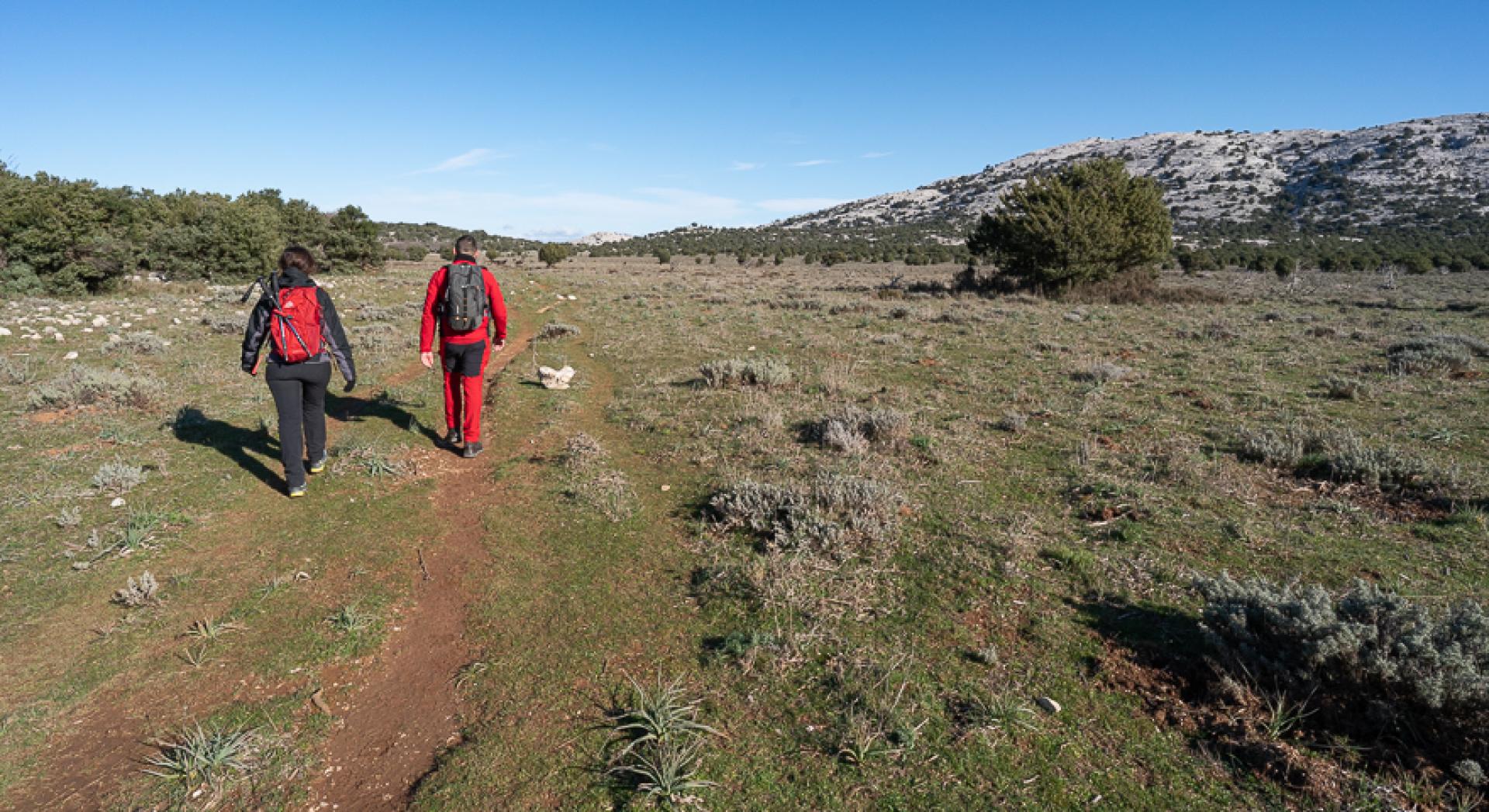
Campu Donianigoro (480).jpg Trail map Expand map Minimize fullscreen map Skip map and go the next section See on interactive map Download trail documentation Donianigoro - Cuile Suderie (B 440C) GPX - 3.47 KB Opinions General rating There are no opinions yet Based on 0 opinions0 Reviews - view all Rating details Easy to follow: No ratings yet Challenging but rewarding: No ratings yet Dangers to watch out for: No ratings yet Have you been here before? After walking a path, you can leave a rating on your experience Rate your experience No reviews yet for this path Report any problem on the trail Have you encountered a problem during your path on the path? Don't worry, you can easily report it through this form. You will help us keep the trails in perfect condition for other hikers. Thank you for your contribution! Report a problem Editorial informations Updated on 01/04/2025 - 12:00 Created on 19/03/2025 - 15:20