Terranieddas – Rio Maccioni (D-336B)

The pathway
Roadbook
You set off from the Terranieddas pass, leaving behind you the mining constructions as you bear left through some wild olive trees, avoiding uphill branch-offs from the trail. You start along a mule track, in some places flanked by a dry-stone wall on the valley side, between scrub mixed with a young wood of holm oaks and phillyrea trees.
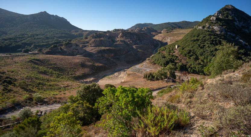
The woodland thickens, while the mule track cuts across some large screes. Near the ridges, some gaps in the vegetation afford sublime views over the gorge of Gutturu Pala and the valley of the Rio Maccioni, with Punta Pubusinu and higher up Punta Pilocca . Towering above the trail are the peaks of Omu Conca and Corona Arrubia with their sheer cliff faces.
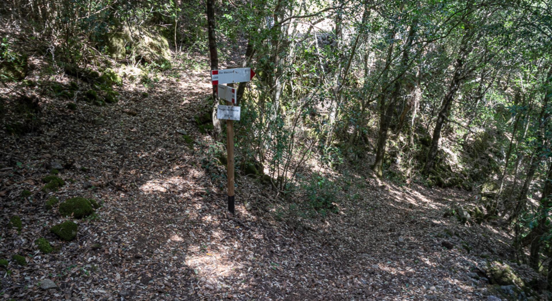
You enter a wooded gully, known as Bega Sa Menta. Here you proceed downhill along an old track, at some points steep and ravaged by floods, until you reach the stony riverbed of the
Rio Maccioni.
Trail data and altimetry
Photogallery
Download trail documentation
Opinions
No reviews yet for this path


