Su stampu de Su Turrunu - Salassi Ford (T-203)

The pathway
Useful informations
Roadbook
The trail starts from the waterfalls of "Su Stampu de su Turrunu" and remains at an altitude above 700 metres a.s.l. for the first 3 km of the route.
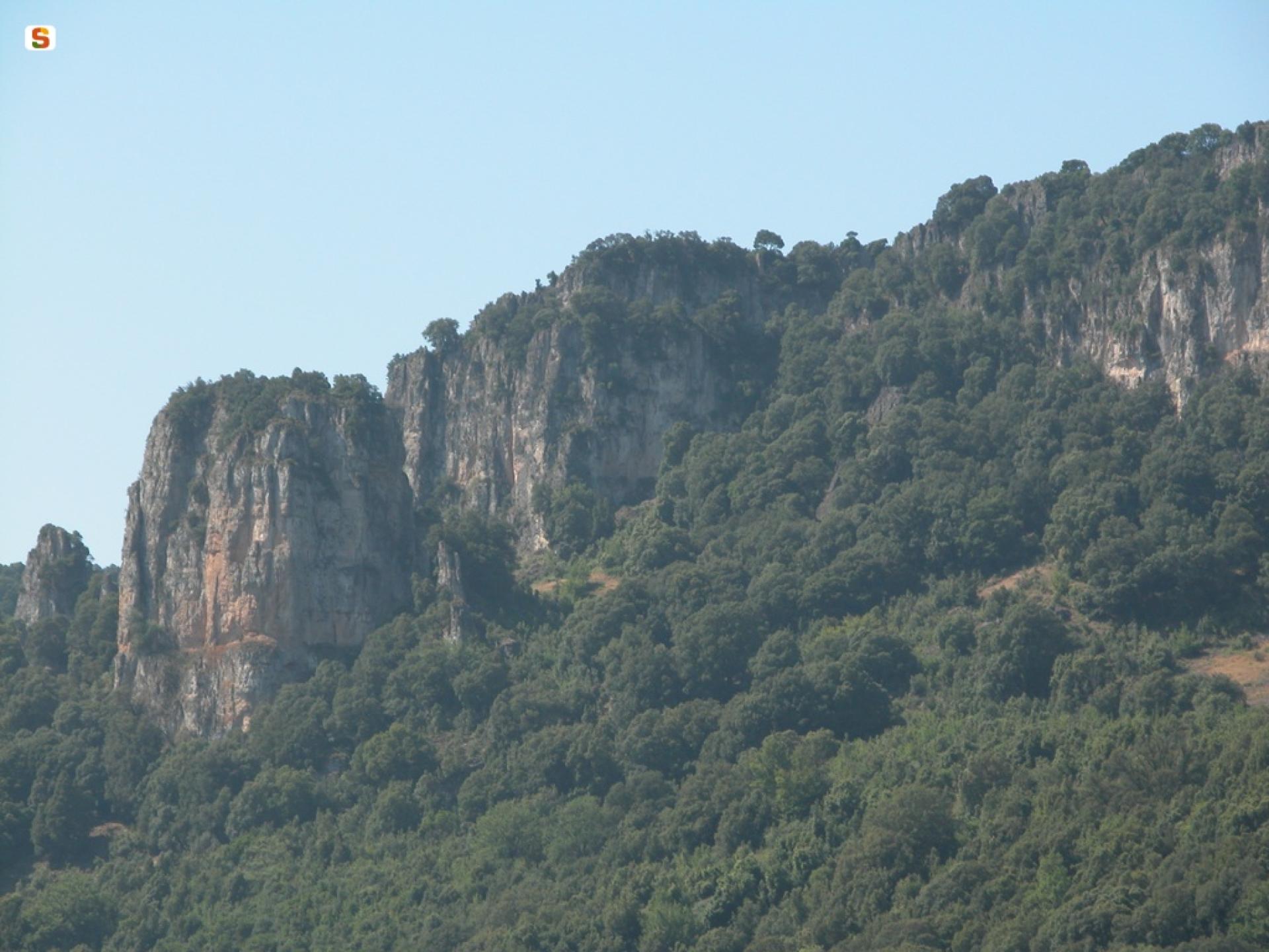
It then skirts the "Taccu Ticci” cliffs, this stretch offering excellent views over the Flumendosa Valley and the “Cannas" forest: this second stretch alternates between downhill and gentle uphill sections, while the altitude varies between 730 and 620 metres.
The route ends near the Guado Salassi river ford, which you reach after a final, largely downhill stretch with a considerable gradient: the last 3 km section, indeed, takes you back down to an altitude of 290 meters a.s.l..
Trail data and altimetry
Photogallery
Opinions
No reviews yet for this path


