From the Church of Solitude to the Redeemer (G-101)

The pathway
Useful informations
Roadbook
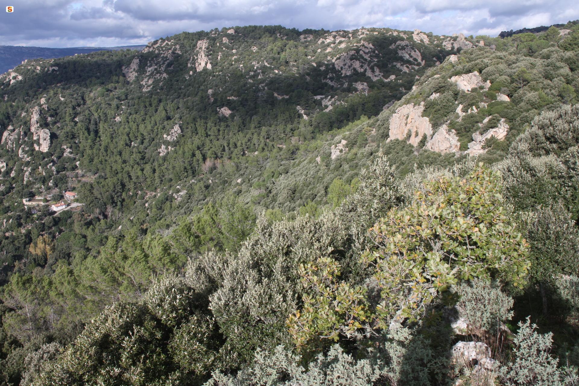
Leave the church of La Solitudine and reach the first waypoint - Su Murrone - after about 500 m of moderate uphill stretch, arriving at an elevation of 630 m asl. Some traces of the ancient stone-paved road (s’impredau) are visible. Amidst the rocky outcrops above stands one of the 10 crosses that mark the route. About halfway along this stage, you will see the first enchanting rock outcrops and granite boulders chiselled into animal-like shapes by the slow forces of nature and climate.
After a further 900 m, you will reach the second waypoint (Sa conca ’e sos prades) which is almost at the same elevation (670 m asl).
A further 500 m will take you to the Sa ’e sos frores locality, which is about 40 minutes from the starting point. Pass through the pine trees (the tall pines and cedars are what remains of the pine wood planted between the 1930s and 1950s, which was largely destroyed by the severe wildfire of 26 August 1971). The locality (Sa 'e sos Frores) is named after the Floris family who own the area. You can still see traces of the work of the picapedreris (stone-cutters) who would quarry and shape here stone blocks and slabs for building the houses and paving the streets of the town.
After a further 550 m, still slightly uphill (at an elevation still around 740 m asl), the trail leads after 15 minutes to the waypoint of Funtana ’e Milianu: the Ribu ’e Seuna stream originates from the spring dedicated to Saint Emiliano. The current layout dates back to the 1930s. It seems that the ancient town originally stood here. Around 1000 AD, the inhabitants moved further down to the valley and built the Seuna neighbourhood.
The second to last stage, a stretch of about 750 m where the gradient increases slightly, leads with a further 25-minute walk to the Solotti locality: here once stood a summer camp built in the 1920s for war orphans, which has been since abandoned. The main building today houses an Environmental Education Centre. The Monumental Cork Oak in the Solotti area is an impressive sight: this several hundred-year-old tree, today standing in a densely forested place, is a remnant of a time when the area had lower and sparser vegetation.
Finally, walking the remaining 550 m, with an average gradient of almost 30%, you will reach the end of the trail, near the Statue of the Redeemer. This high point, at an elevation of more than 920 m asl, offers sweeping views of the surrounding landscape.
Trail data and altimetry
Photogallery
Download trail documentation
Opinions
No reviews yet for this path


