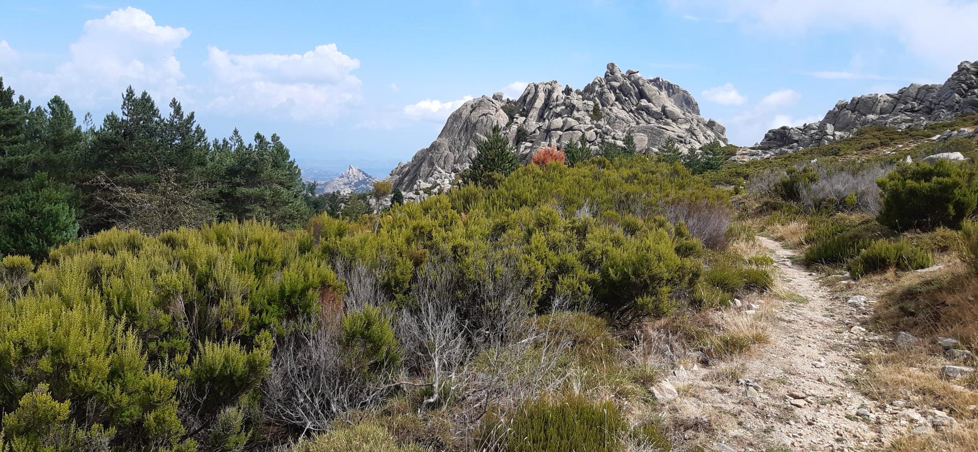
From Curadoreddu to Punta Bandera (F 401)

The pathway
Useful informations
Roadbook
After parking your car in the rest area next to the entrance to the Curadoreddu forest and after walking a few metres, you will find on the left (with your back to the SS 392) signs for trail 401 (former “trail A”), which begins with a forest track through the pine wood, leading to the Rio Pisciaroni stream and ORGANICA, a museum of environment-themed visual arts in the Limbara Park.
Leaving the museum to your left, you will take an uphill path, well signposted with white and red posts, towards the Forestas Agency’s building and the entrance to the wildlife centre. The trail continues alongside a large enclosure created to host mouflons (if you walk slowly and quietly, you might spot some!).
After slightly less than 2 km, you will reach the first junction, in the Fossu di lu Pisciaroni locality, where trail 404 (formerly trail D) starts and crosses the stream on a small wooden bridge: from here the route continues straight, heading south towards Saltu di lu Pisciaroni, still uphill amidst a conifer forest.
After reaching a height of 900 m above sea level and travelling about 2.5 km, you will get to a second junction, at Saltu di lu Pisciaroni, from where the secondary trail 401A branches off, connecting trail 401 with the winding road that climbs to the top of Monte Limbara.
After a very short slightly downhill stretch, the path goes uphill again. After reaching 1,000 m asl, the path continues on a level course until it reaches the Oltu di li Pomi (“potato garden”) locality at the junction with trail 404 (formerly D). The path to the left leads back towards Curadoreddu, while the one to the right goes towards Vallicciola. To stay on this itinerary, go straight ahead in N-E direction.
In this stretch, you can catch your breath as you keep walking through the conifer forest. For a while, you will skirt road SP 51 to your right, which leads to the top of Punta Balistreri (1359 m asl). After crossing a number of forest tracks, you will reach Bucaticci, where trail 407 (formerly “trail F”) branches off, towards Li Conchi and Sentiero Italia (Grand Italian Trail). You have now covered about 7 km and are at a height of 1100 m above sea level.
Continue in S-East direction towards Punta Bandera. The final stretch, after climbing some granite steps, is on a forest track (formerly “Trail B”) leading to the junction with trail 402 (formerly “B”) and trail 403 (formerly “C”), which respectively lead to Valliciola, passing by punta Berritta, and to the South slope of Limbara in the direction of Berchidda.
To reach Punta Bandiera, you just need to follow trail 403 for a further stretch.
Trail data and altimetry
Photogallery
Download trail documentation
Opinions
No reviews yet for this path


