Ferraris winery - Linas sheepfold D-112

The pathway
Useful informations
Roadbook
Start from the Ferraris Winery, reaching the dirt road just below the buildings of the old sheepfold, in a scenic location below the peaks of the area known as Magusu. The beautiful old winery building has been renovated by the Forestas Agency and is now constantly manned; Sardinian deer can often be seen in the area. Continue along the dirt road in a north-west direction, with the road surface progressively becoming worse. After passing a water-collection structure, the road becomes a path and keeps to its left side the now nearby Rio Cannisonis stream.
After about 1.5 km, you will reach the junction with Trail 101. Those who want to reach the Piscina Irgas waterfall can turn left onto Trail 101, following it uphill for 1 km, then turn off onto Trail 113 (or continue on Trail 101 for a view of the Oridda valley along the high-elevation trails). Instead, to continue on your Trail 112 and get to the next stages described below, keep to the right at this junction.
Having passed the junction with Trail 101, continue keeping to the right. You will soon also pass the junction with Trail 109. The trail now goes gently uphill, always staying to the right, on a beautiful mule track that comes out of the wood at Cuili Mannu, where you will find some old shepherds’ buildings.
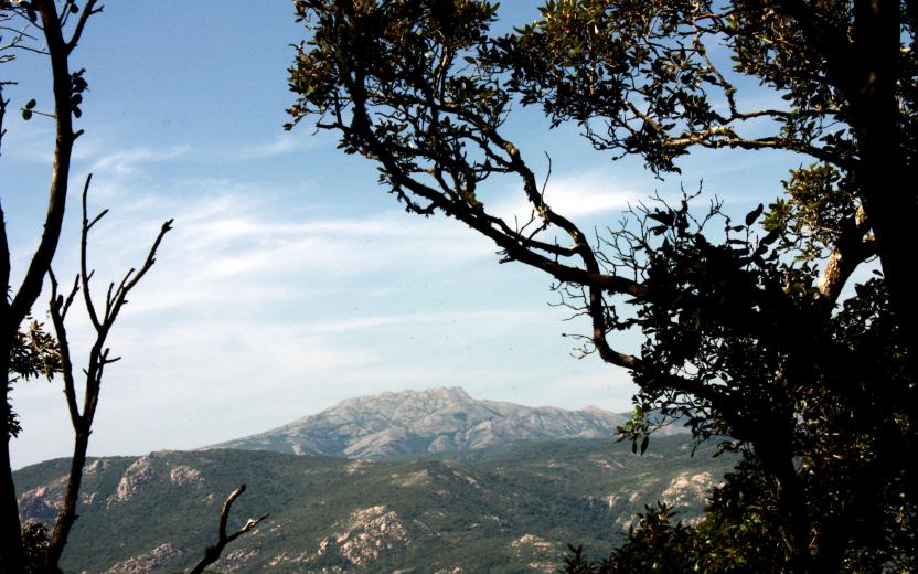
Near a large cork oak, the trail gradually starts ascending again, first on a clearly visible mule track, then gradually becoming more uncertain through the holm oak wood as the elevation increases. Walk along the bottom of a wide stream channel on the remains of a charcoal burners’ track, recognisable also by the large charcoal terraces on the side of the trail. The trail moves to the left, coming out into an open area and offering a splendid view across the Muru Mannu area and the Magusu peaks. The trail then continues again through woodland on a wide mule track, reaching the Arrusrabus area.
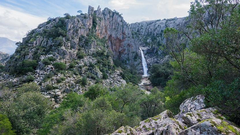
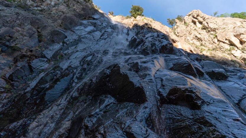
The mule track gradually becomes an old forest track, still gently uphill. Near a bend, you can turn left to visit the Arrusrabus (or Arrusarbus) waterfall. Then continue uphill on the main track, until you reach an obvious fork where you must turn left.
The trail is now on a dirt road that proceeds level or with little gradient, first in a north-west direction and then, having circled the head of the Arrusrabus stream channel, towards the south-west. Having passed a copse of chestnut trees near a hidden spring, you will come to an obvious fork to the left, which leads in a few steps to Baita Porcella, also known as Baita Linas, so called because it is built in the style of Alpine mountain huts. The building is in poor condition now, but from the clearing in front of it you can enjoy an exceptional view of the entire route walked so far and the highest peaks of Linas. Return to the main dirt track. In a few minutes you will reach the Linas sheepfold, which is also reached by Trail 101.
Trail data and altimetry
Photogallery
Download trail documentation
Opinions
No reviews yet for this path


