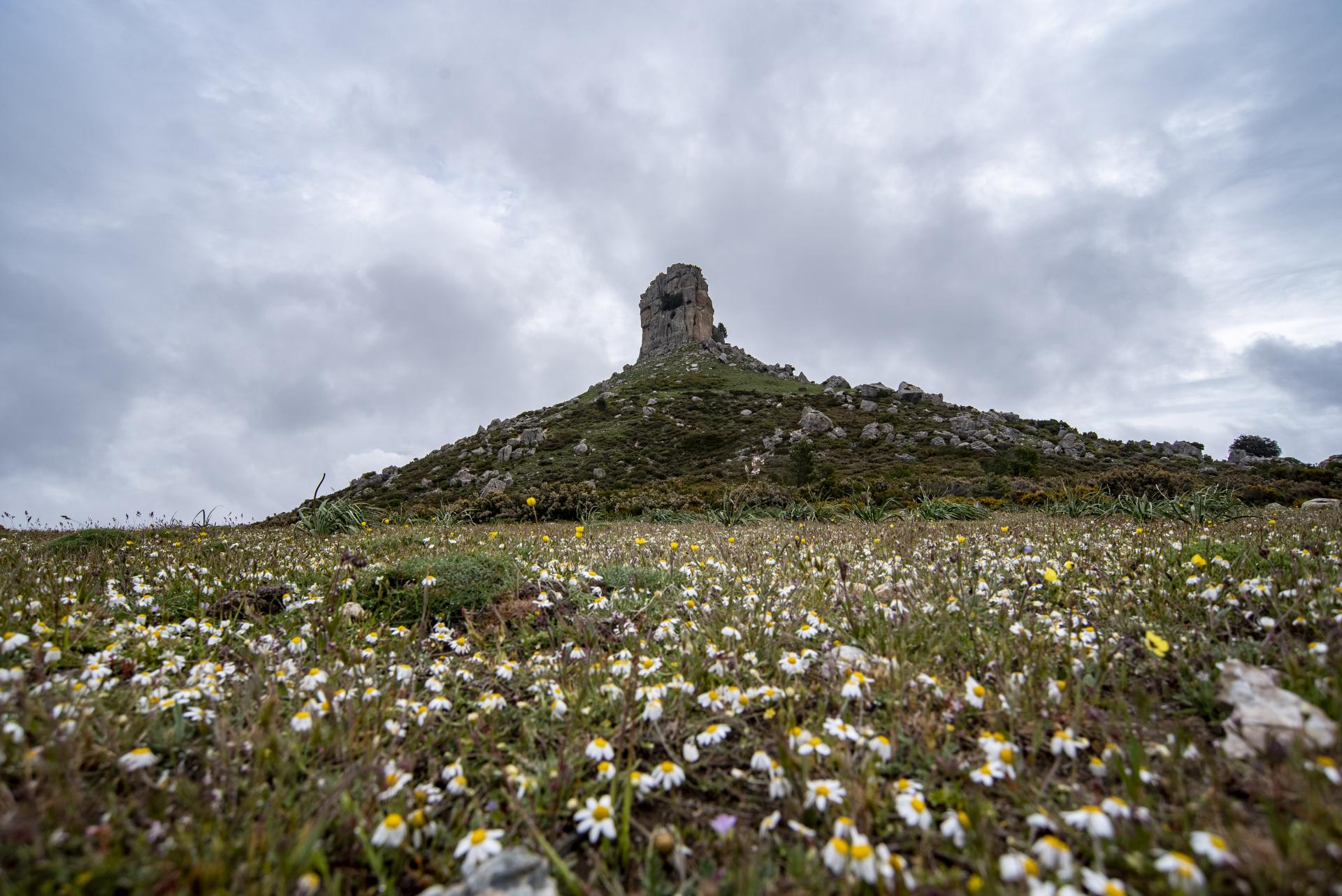
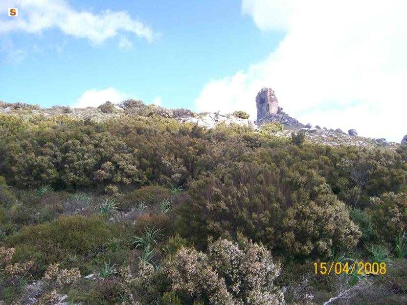
The natural monument of Perda Liana is located within the homonymous forest perimeter, managed by the Forestas Agency. This land is municipal property, under a thirty-year concession subsequently renewed from 1991 onwards.
The entire area is subject to hydrogeological constraints. The area between the Flumendosa river to the northwest, the municipal boundary with Arzana up to Cuccuru e Mufloni to the northeast, from there south along the Sammuccu river and up to Bau Interflummini, and further north within the municipal boundaries with Seui - for a total of approximately 1011 hectares, falls within the Gennargentu Natural Park, established by Regional Law no. 31 of 1989. The area, given the rather rugged morphology and sometimes the sparse vegetation cover on the ground, is frequently subject to erosive phenomena linked to the action of often intense rainfall.
The precarious environmental balance typical of limestone environments and the particular conditions (steep slopes) combined with historical causes such as deforestation and recurring summer fires, in conjunction with grazing according to irrational utilization criteria, have led to the progressive thinning of the tree cover and the subsequent complete disappearance (in some areas) of the forest.
The mountainous relief of Gennargentu and the "Tacchi" of Ogliastra, and therefore of the municipal forest of Perda Liana, is lithologically composed of a series of fluvio-lacustrine deposits that give rise to a calcareous-dolomitic layer, which rests on a complex with a crystalline structure (mainly schists and quartzites with intrusions of porphyry veins).
Within the concession area, there are approximately 550 hectares of holm oak forest, mostly aged coppices, alternating with sections of high forest, with variable and heavily degraded density, where the holm oak is accompanied by mock privet, heathers, strawberry tree, mastic, and, in the sparser areas, by more heliophilous species such as rosemary. The largest forest area is located in the area between Cobingius, Staulargiu, Perdu Isu, Sa Mela, Coa 'e Mola, and Funtana is Scovasa. Small relict nuclei of holm oak forest, formed by plants of considerable size, can however be found almost everywhere, especially in the rugged areas and along the gullies, demonstrating the wide diffusion that the holm oak forest had in the past in this area.
Several areas within the perimeter (Is Tostoinus, Genna Orruali, Lepercei, Genna Filixi, Sa Mela, Oddeu, Genna) have in the past been subject to hydraulic-pastoral arrangement interventions and host very degraded vegetation, characterized by the presence of asphodel, carlines, cistus, ferns.
In the limestone area, particularly in the area between P.ta Genna Oliana, Br.cu Gutturu Orrosu, P.ta Perdarba, P.ta Genna Cussa, and south to State Road 198, there are vast areas characterized by outcropping rocks and high stoniness, almost completely devoid of vegetation.
In Serra Serbissi, there is a stone pine forest of artificial planting accompanied by a dense undergrowth of holm oak, while the narrow strip of land between S.S.198 and the Capu de Abba area has recently been reforested with Aleppo pines, holm oaks, downy oaks, and cedars.


