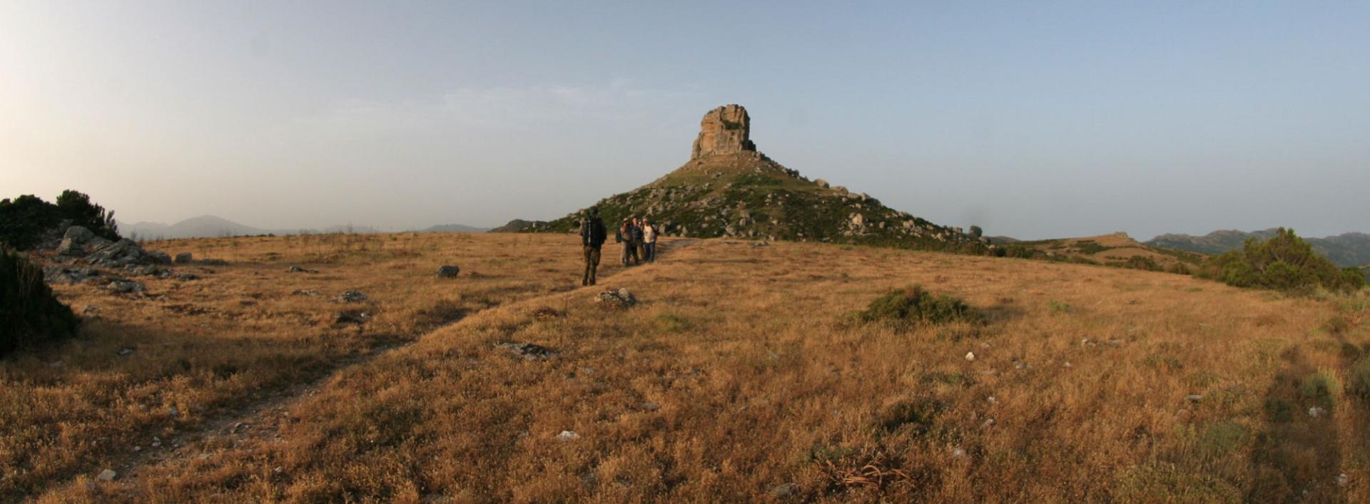
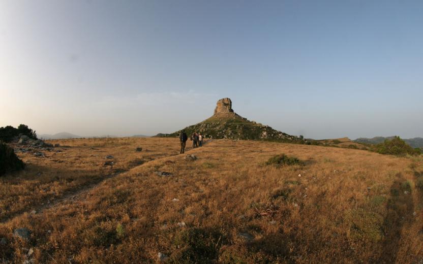
Pinnigassu (Arrival Point T 122) Photo credits Photo author Secci Dionigi Image credits Sardegna Digital Library Usefull informations Geographical area Gennargentu Ogliastrino Route type Woods, Parks or Forest Areas Incroci - waypoint The point of interest The end point of Trail B 122 is located in Pinningassu at 1058 meters above sea level, downstream from the natural monument of Perda Liana. Show more Show less POI map Expand map Minimize fullscreen map Skip map and go the next section See on interactive map Related pathways Skip Pathways slider and jump to the next section Pathways Pinningassu - Villagrande Station (T-121) Time lenght 2 hours 45 minutes Path lenght 9 km 500 m Pathways Flumendosa – Pinningassu (T-122) Time lenght 2 hours 15 minutes Path lenght 5 km 600 m Precedente Successiva Related Points of interest Skip POI slider and jump to the next section Points of interest Perda Liana Natural Monument (Gairo) Route location Perda 'e Liana Editorial informations Updated on 14/04/2025 - 10:47 Created on 14/04/2025 - 10:47
Pathways Pinningassu - Villagrande Station (T-121) Time lenght 2 hours 45 minutes Path lenght 9 km 500 m