Villagrande Station – Arzana (B-540)

Image credits Sardegna Digital Library
The pathway
Useful informations
Roadbook
The trail starts from the railway station of Villagrande Strisaili, located in the territory of Arzana at an elevation of 809 m asl, which can be reached via the historic Mandas - Arbatax railway and is travelled by the Trenino Verde tourist line when in operation. As soon as you leave the station, the trail crosses the rio Siccaderba stream and crosses State road SS 198 via an underpass.
The trail continues for a short stretch along the Baccu Mela stream and then bends southwards and crosses, through a maritime pine forest, the watershed leading to the valley formed by the rio Baccu Idolo stream. Continue along this latter stream in the shade of conifer forests for the first stretch, where you will find maritime pine, radiata pine and Atlas cedar and then pass through an area of sparse holm oaks.
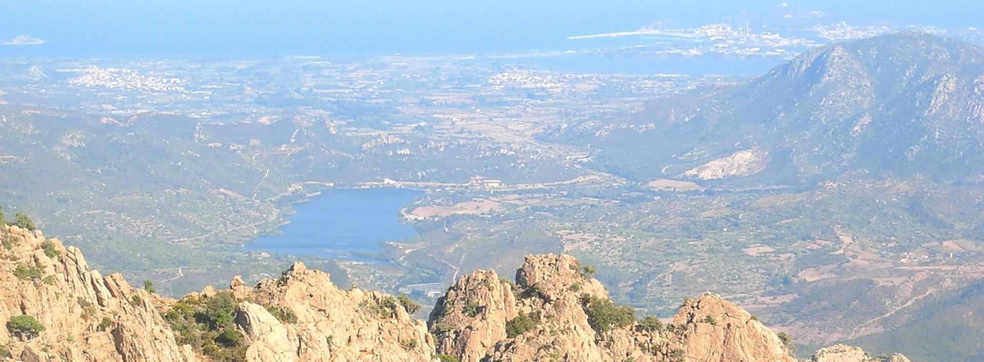
Having left the Baccu Idolo riverbed, the trail climbs up the slope until it reaches the peaks of Bruncu Cidolai and Bruncu Stecari (1084 m asl) at times via some sections of forest tracks. The trail then continues along the crest of Monte Idolo, offering a wide-ranging panorama of the holm oak woodland of the Baccu Idolo valley to the north and, to the south, the stone pine forest and the Ogliastra valley all the way to the sea.
After passing the Monte Idolo fire lookout post and the statue of San Michele, the trail turns downhill along the ridge that marks the border between Arzana and Villagrande Strisaili to the panoramic viewpoint of Bruncu Evane (865 m asl). From here, along a dirt road at the edge of the historic stone pine forest that clothes the southern slope of Monte Idolo, the trail reaches the outskirts of the town of Arzana in the Turanni locality.
Trail data and altimetry
Photogallery
Download trail documentation
Opinions
No reviews yet for this path


