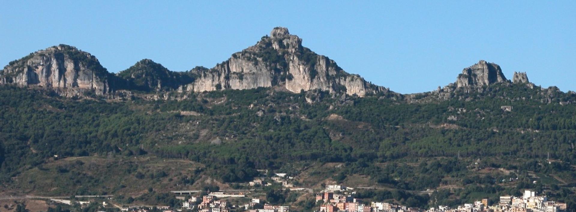
Erriu Pessiu – Sant’Antonio (C-205)

Image credits Sardegna Digital Library
The pathway
Useful informations
Roadbook
The trail starts in the Erriu Pessiu locality, where Trail C 506 ends, at the junction with Provincial road SP 13. It starts with an uphill track, which is cement-surfaced in some stretches, until it reaches the Genna Figu locality, at an elevation of 785 m asl, where the entrance gate to the Forest area of Bingionniga, Mammuttara section, is located. The forestry area is accessed through an opening to the right of the gate. From here continue, heading west, through a forest of holm oaks mixed with Mediterranean scrub on a forest track for about 400 m to the junction with Trail C205 a at the Su Crastu locality.
Continue along a short uphill path and then descend again until you reach a forest track that meets Trail C 205 a at the S’Abba sa conca locality.
Continuing along the forest track, past the edge of the forestry area, you will reach a tarmac road. Take the road slightly uphill for 150 m until you join a narrow dirt road that after 100 m crosses Provincial road SP 13. Turning west, continue along the base of the escarpment bordering the provincial road for about 630 m, then turn south to reach S. Antonio, a sanctuary in the municipality of Jerzu where one of the town’s main religious festivals is held in June.
Trail C 204 starts here.
Trail data and altimetry
Photogallery
Download trail documentation
Opinions
No reviews yet for this path


