Montarbu - San Sebastiano (T-112)

The pathway
Useful informations
Roadbook
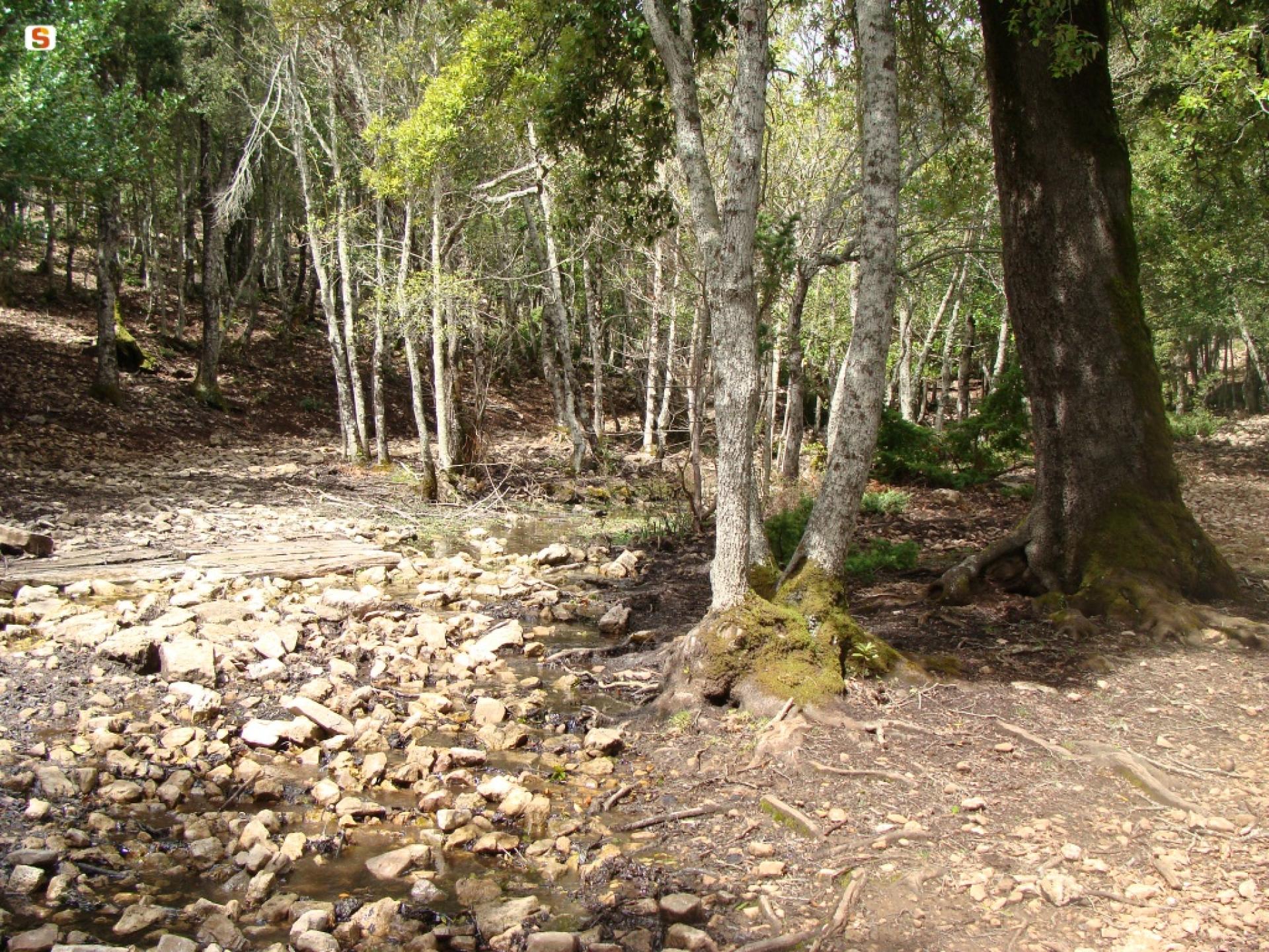
The first stretch of the trail (first 1600 meters) retraces the ancient path along the Rio Ermolinos skirting it: here the trail is always shady, and made pleasant by the babbling stream. The incline is significant, especially at the end of this section, and it goes from 870 metres above sea level (casema Ula) to over a thousand metres.
The next section, remaining within the boundaries of Montarbu, is quite wooded and covers a further 7 km of the route, first reaching an altitude of 1130 metres above sea level, then descending to 950 metres before a final climb with significant gradients towards the end of the stretch, which leads to the mountain pass of Sa scala e sa Marra.
Through this pass, the trail crosses the impressive limestone cliff of Tonneri
before crossing a particular stretch of forest characterized by an abundance of European hop-hornbeam.
Now leaving the district of Montarbu behind, the trail crosses the vast archaeological park of Ardasai.
After crossing the spectacular Mount Taddì area, the trail heads downhill towards Seui, reaching the abandoned mines of Corongiu.
Near the country church dedicated to Saint Sebastian the trail ends, crossing the path that leads from Seui to Seulo.
Trail data and altimetry
Photogallery
Download trail documentation
Opinions
Reviews
Massimo
Con quale coraggio promuovete la possibilità di pernottamento se sono anni che i bungalow, e la foresteria sono chiusi ed i nuovi locali non sono mai entrati in funzione?Nonostante numerosi tentativi, ogni volta la richiesta di pernottamento viene respinta... rispondendo, da anni, che i bungalow non sono a norma.... che i nuovi locali devono essere dati in gestione... da anni. Ma vergognatevi!


