Da Is Muralleddas a Texile (T-521)

The pathway
Roadbook
The points of departure and arrival are located near the towns of Meana Sardo and Aritzo and are served by public transport. The itinerary is quite easy despite the presence of areas of considerable elevation gain.
The first stretch consists of a cart track that passes through holm oaks and strawberry trees in the direction of Genna 'e Nuxis. From here the first slope leads to Bruncu Sant’ Elia, where you leave the cart road and continue through holm oak woods to Funtana Ona at an altitude of 635 m.
From here, the path continues by skirting the Arbatax - Mandas railway line as until it reaches Sa Curia in the countryside of Belvì, where the route again picks up the easy-walking cart road and is surrounded by huge specimens of chestnut, cherry and cork tree.
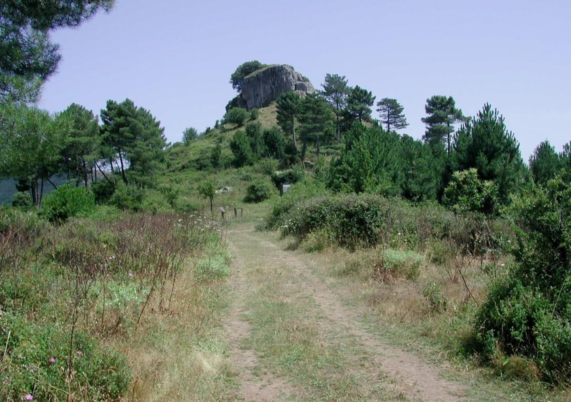
In proximity to Punta Crispisu, at an altitude of 1000 m, the itinerary affords views over the territories of Tonara, Belvi and Aritzo. From this point the path continues, skirting the Su Meseddu de Texile ”heel” formation until it reaches the Provincial Road n. 295, at "Genna Entu”.
Trail data and altimetry
Photogallery
Download trail documentation
Opinions
No reviews yet for this path


