Castangias (Villacidro) - S. Miali (D 108) 2 Validation level In revisione-validazione More infos General rating There are no opinions yet Based on 0 opinions0 Reviews - view all Photo credits Photo author Alessio Saba Image credits CC: SA-A-NC Agenzia regionale Forestas Trail summary Path lenght 5.500 m Time lenght 2 hours 45 minutes Difficulty level More infos sui gradi di difficoltà Escursionistico Activities and warnings Pathways Activities Hiking The pathway Sentiero che collega Castangias, in prossimità dell'abitato di Villacidro, alle Cime di San Miali. Show more Show less Trail data and altimetry 2 Validation level In revisione-validazione More infos End Punta Santu Miali Path lenght 5.500 m Time lenght 2 hours 45 minutes Difficulty level More infos sui gradi di difficoltà Escursionistico Total elevation gain 794 metri Maximum altitude 1.037 metri Minimum altitude 344 metri CAI code Z-SU-D-108 Maintainer Agenzia Fo.Re.S.T.A.S. (ex Ente Foreste Sardegna) Managing authority Agenzia Fo.Re.S.T.A.S. (ex Ente Foreste Sardegna) Path designer Agenzia Fo.Re.S.T.A.S. (ex Ente Foreste Sardegna) Photogallery 
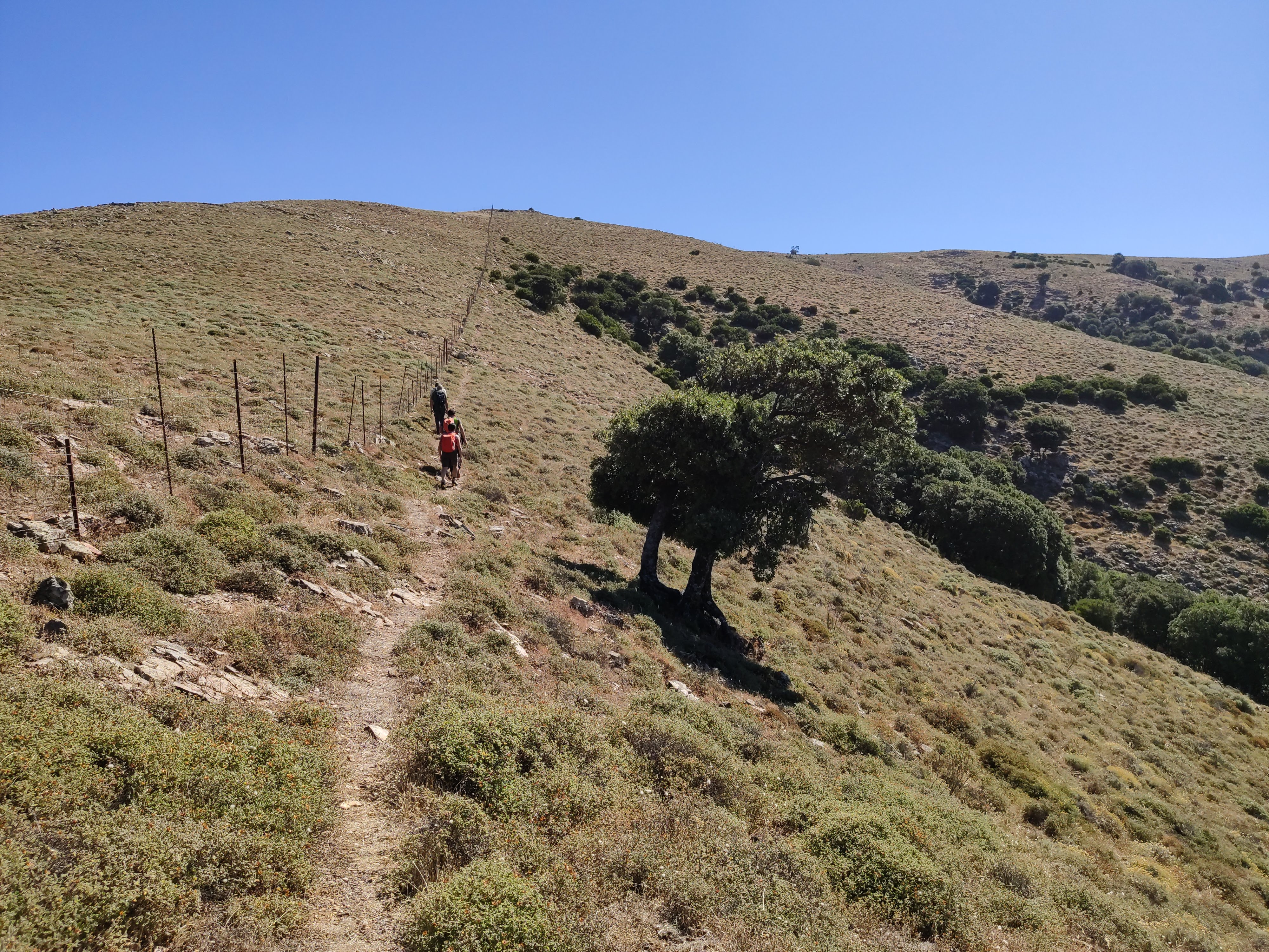
Salita verso S.Miali da Genna FarraceusAlessio SabaCC: SA-A-NC Agenzia regionale Forestas 
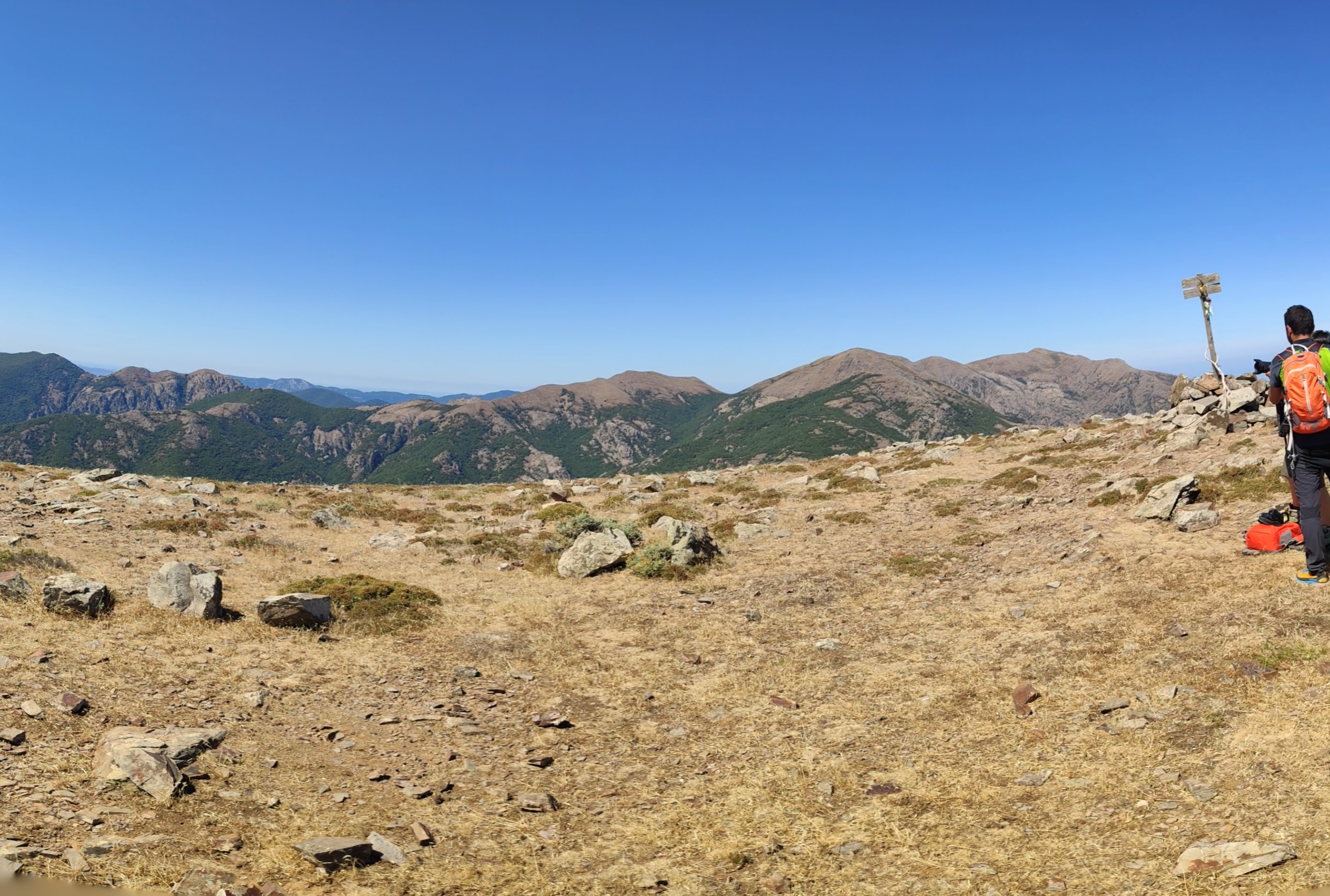
il plateau verso le punte di Santu Miali Alessio SabaCC: SA-A-NC Agenzia regionale Forestas 
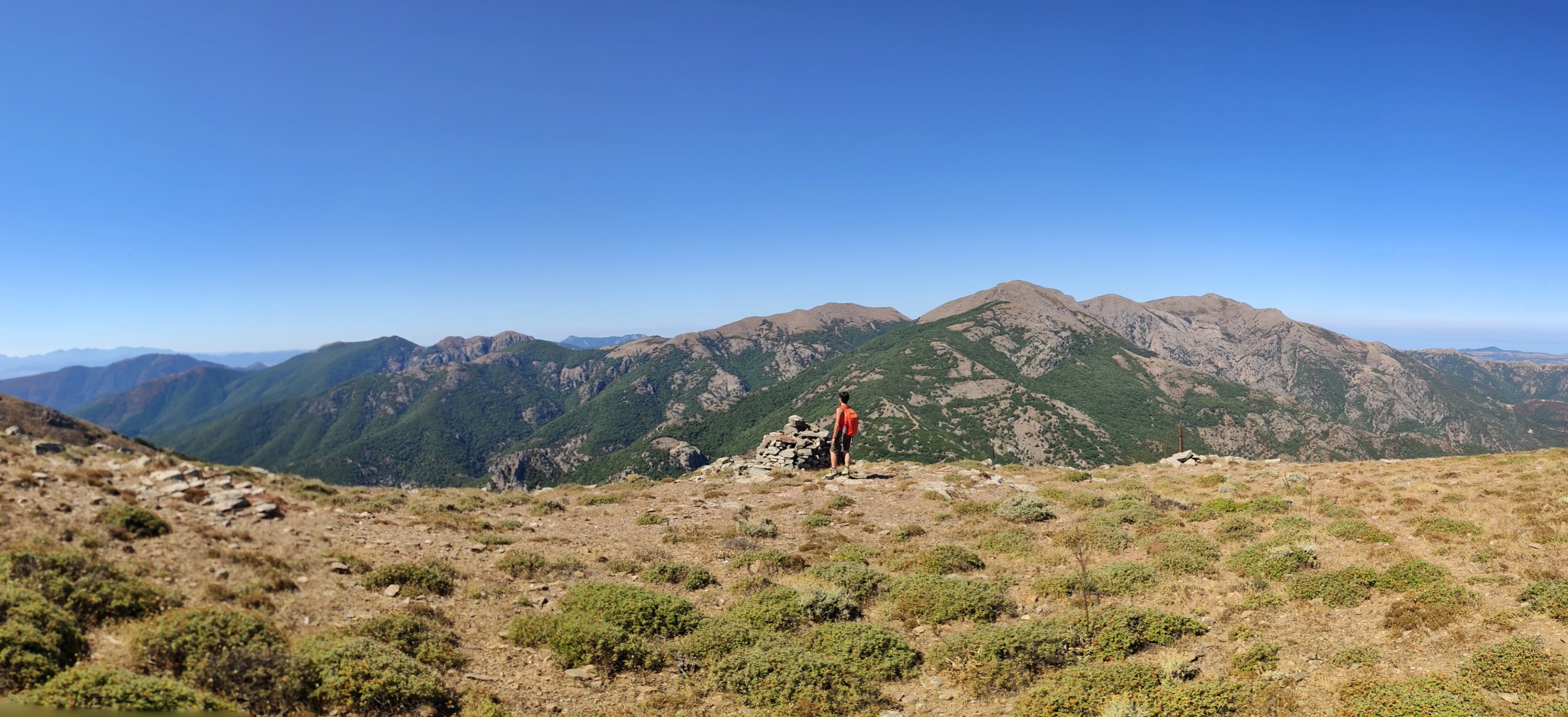
da S. Miali verso le creste del Linas a ovestAlessio SabaCC: SA-A-NC Agenzia regionale Forestas Trail map Expand map Minimize fullscreen map Skip map and go the next section See on interactive map Download trail documentation Castangias, Villacidro - Punta Santu Miali (D 108).gpx GPX - 10.42 KB Related pathways Skip Pathways slider and jump to the next section Pathways Frocciddaras - Case Coxinas (D 121) Time lenght 1 hour Path lenght 2 km 600 m Pathways Genna de Frocciddaras - Bivio 118 (D 121A) Time lenght 15 minutes Path lenght 600 m Pathways Genna Farracceus - Monte Santu Miali (D 122) Time lenght 1 hour 15 minutes Path lenght 1 km 700 m Precedente Successiva Points of interest Skip POI slider and jump to the next section
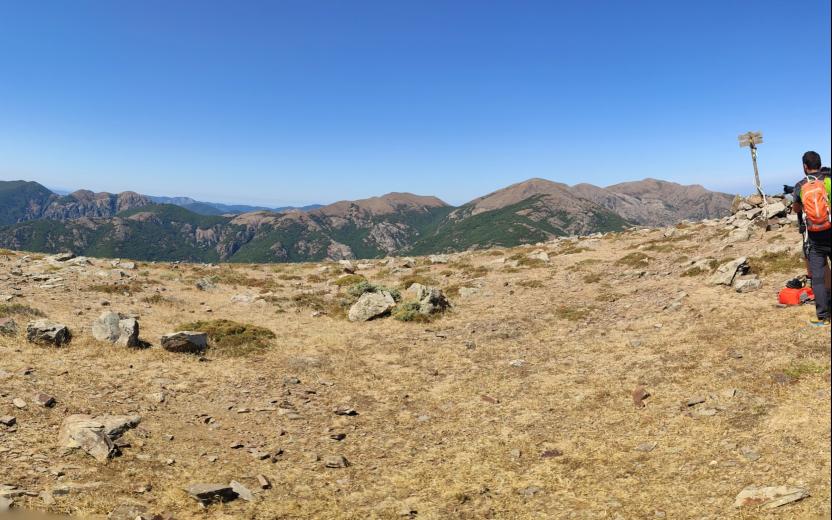
 Points of interest Punta Santu Miali Route location Punta de Santu Miali Related itineraries Skip the Related itineraries slider and jump to the next section Itineraries CMSB – TAPPA 9: DA PERD’E PIBERA A VILLACIDRO Difficulty level More infos sui gradi di difficoltà Mobilità Dolce_difficoltà 3 (alta) Opinions General rating There are no opinions yet Based on 0 opinions0 Reviews - view all Rating details Easy to follow: No ratings yet Challenging but rewarding: No ratings yet Dangers to watch out for: No ratings yet Have you been here before? After walking a path, you can leave a rating on your experience Rate your experience No reviews yet for this path Report any problem on the trail Have you encountered a problem during your path on the path? Don't worry, you can easily report it through this form. You will help us keep the trails in perfect condition for other hikers. Thank you for your contribution! Report a problem Editorial informations Updated on 03/02/2025 - 11:00 Created on 31/01/2025 - 11:27
Pathways Genna Farracceus - Monte Santu Miali (D 122) Time lenght 1 hour 15 minutes Path lenght 1 km 700 m
Itineraries CMSB – TAPPA 9: DA PERD’E PIBERA A VILLACIDRO Difficulty level More infos sui gradi di difficoltà Mobilità Dolce_difficoltà 3 (alta)