Sa Canna - Concale Petuntu - Perdu Melis (D 204)

The pathway
Useful informations
Roadbook
After leaving the unpaved car park, follow the trail that runs along the new Visitor Centre and then goes into the first part of the Froccidus valley. Here and throughout the initial part of the track (about 2.5 km) the trail has been moved upstream to avoid a landslide movement..
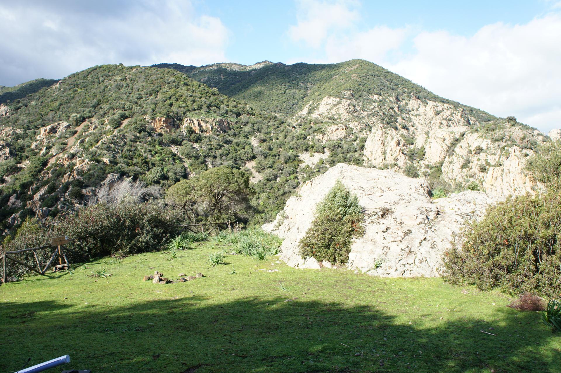
After about 20 minutes of ascent the trail reaches the locality of Sa Rocca Lada (262 m above sea level) reported by IGM as "Punta sa Trona - Luisu Meloni". Here it’s possible to rest in a large plateau overlooking the spectacular valley of Is Froccidus and it is not uncommon to spot deer and wild boars when drinking (especially if you keep a quiet and settled behavior).
From the rest area leave the mule track, and proceed on the left along a stretch of the trail that crosses a thick forest and leads to the ridges. Keep in mind that the climbs here quite challenging.
The trail continues downhill until arrives at the picnic area of Is Frociddus where - before continuing uphill – it is possible to take a pleasant break.
The trail continues offering large panoramic scenery that lead up to the characteristic rock formation so-called Concale Petuntu (623 m a.s.l.).
From here on the trail proceeds through an easy descent, leaving on the left Punta is Cabitzas (623 m above sea level) in the S'arcu Perdu Meli valley that leads to the village of Perdu Melis.
Trail data and altimetry
Download trail documentation
Opinions
No reviews yet for this path


