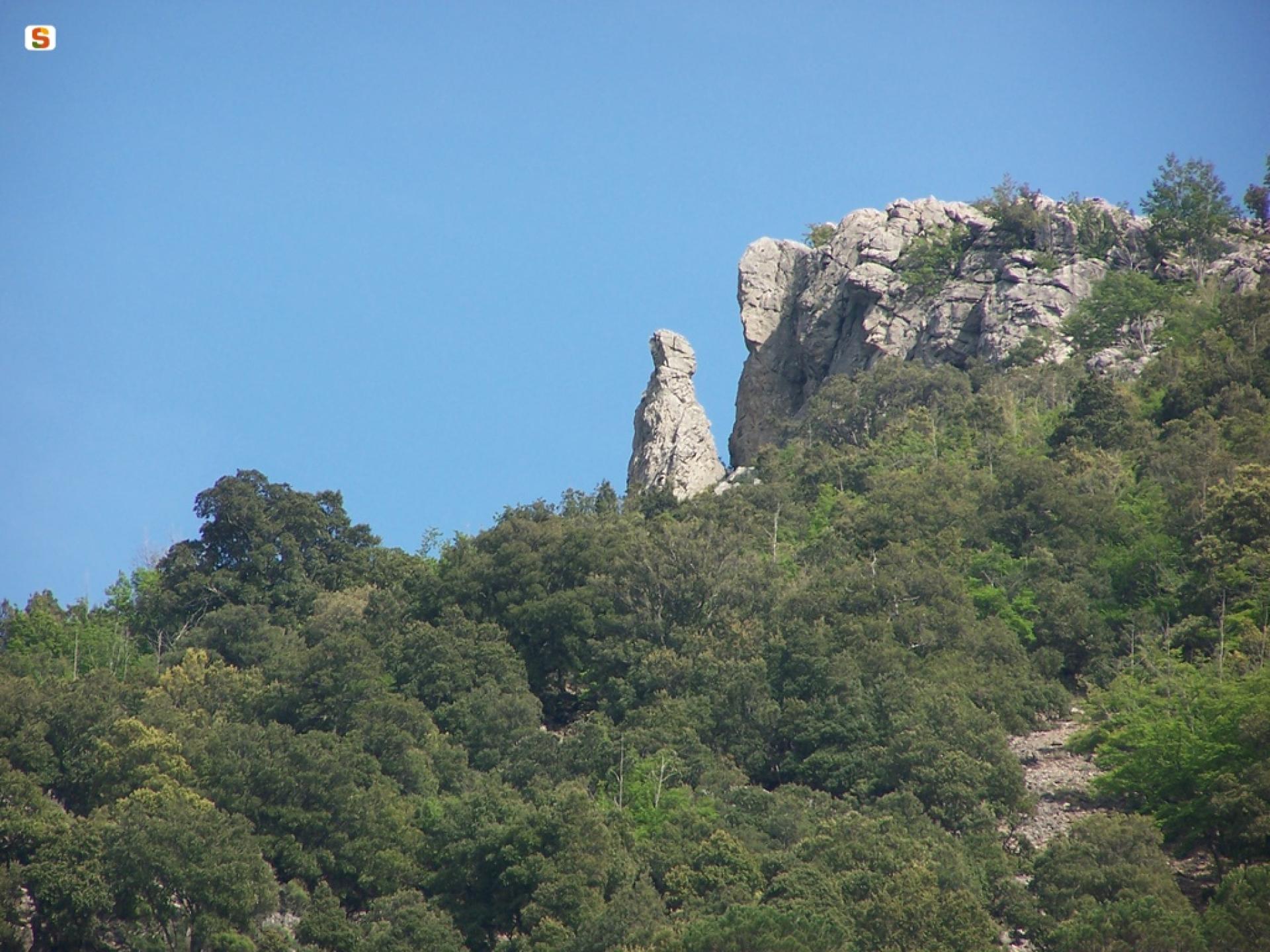
Gairo Taquisara – Perdu Isu – Flumini de Tula (T-102A)

The pathway
Useful informations
Roadbook
The trail starts at the Flumini de Tula locality, originating from Trail T102, of which it is a variant and which allows you to follow a loop itinerary on the Isara tacco with base in the mountain village of Taquisara.
Leaving the junction with Trail T102, the trail heads, first through a holm oak forest and then through pastureland, towards the 1060 m asl Nuraghe Perdu Isu, which can be reached via a small deviation from the route. From here, you can head downhill for the picnic area of su candelessargiu, along the Gairo Taquisara - Lago Flumendosa provincial road. Alternatively, you can continue, also downhill, along the right side of the rio Taquisara valley, crossing an area known as the yew tree valley on account of the presence of these trees.
Continuing downhill, through several hairpin bends, you will reach the Taquisara caves and then the mountain village of the same name at an elevation of 780 m asl.
Trail data and altimetry
Photogallery
Opinions
No reviews yet for this path


